Bend and Depoe Bay

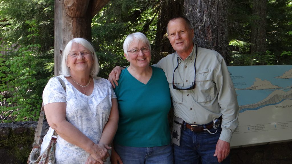
From Chiloquin we moved on to Bend to meet up with a ex-work colleague from M&D times, Robert Goff (RG) and his wife Judy.

I first met RG when he was part of the M&D development team that produced Millennium which we then converted to work on computers in the UK. He lived in Natick, Boston then, but he and Judy retired to Bend, Oregon on the other side of the USA and they have not regretted it.

Scandia RV Park, nice site all on our own.

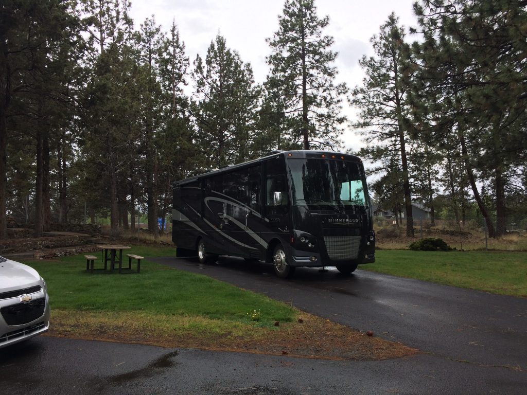
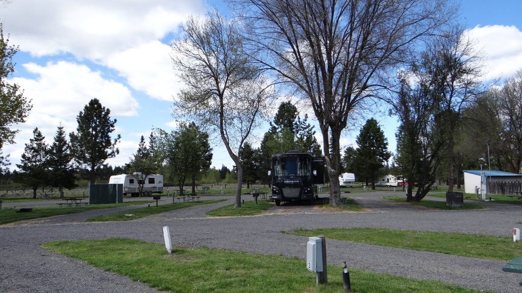
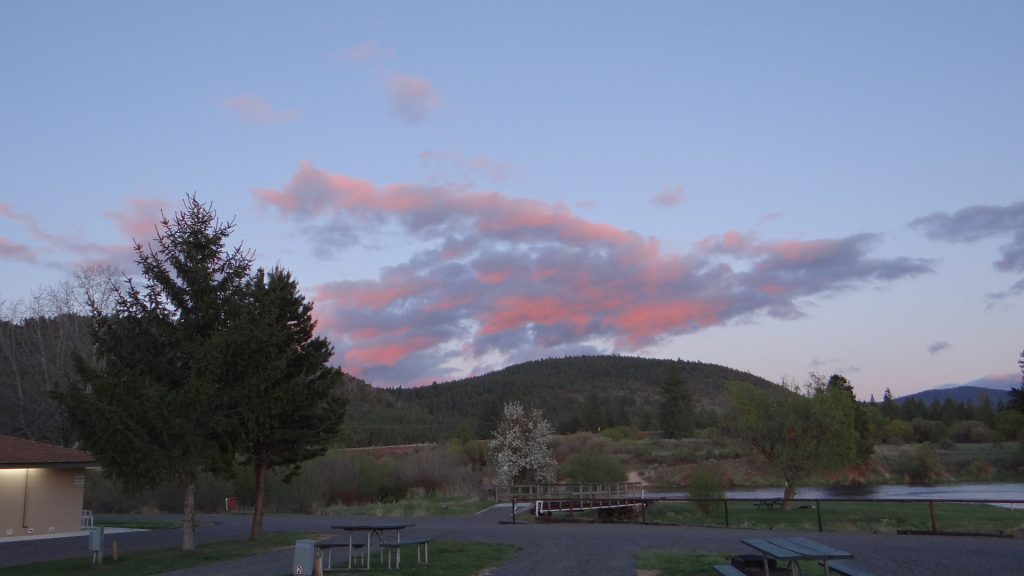
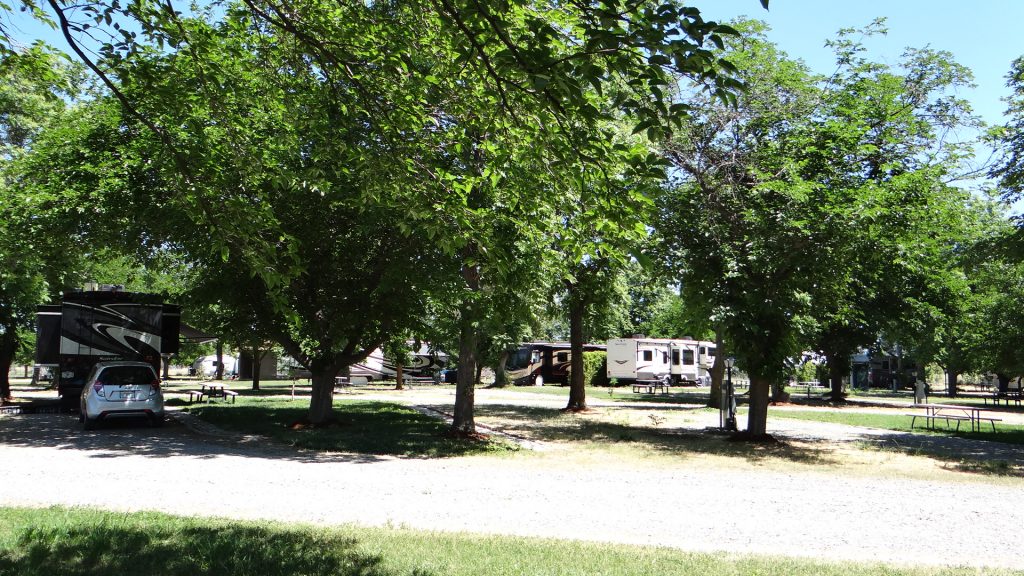
We arrived at Scandia RV Park in plenty of time, so we agreed to go to RG and Judy’s house to meet up, and go out with RG for a Mexican meal as Judy had choir practice that evening. We had, after all, a lot to catch up on. Judy had also been busy and planned what we should see over the next four days.

So we relaxed over the Mexican meal and found out what we had all done in the intervening years.

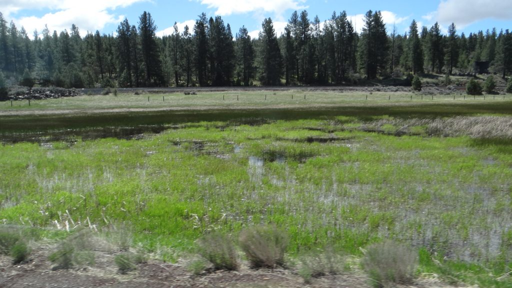
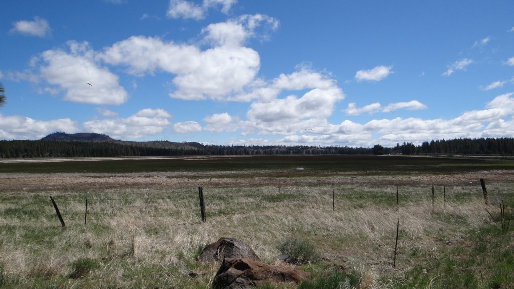
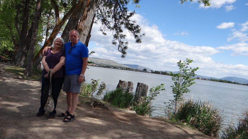
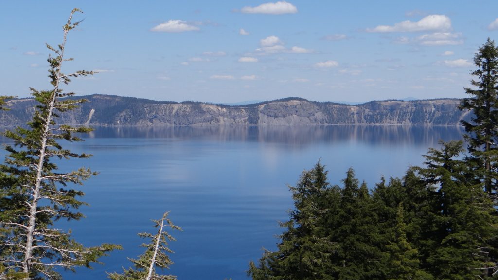
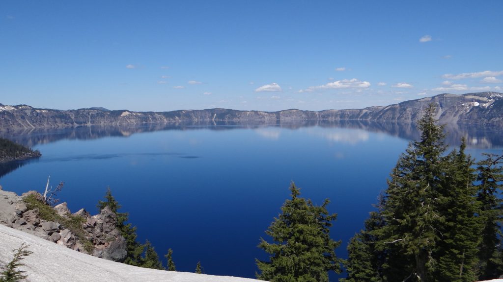
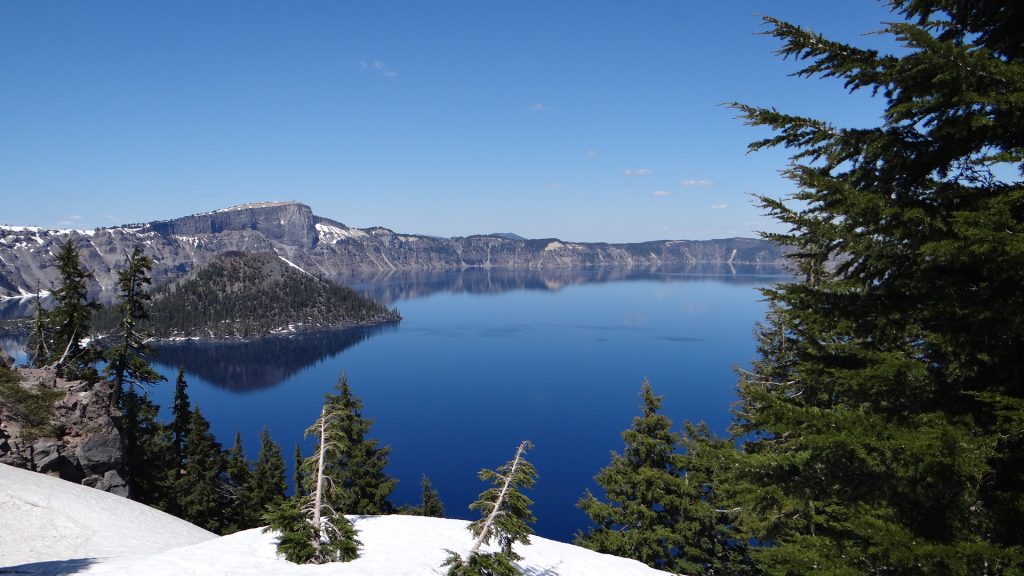
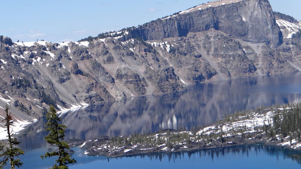
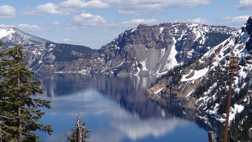
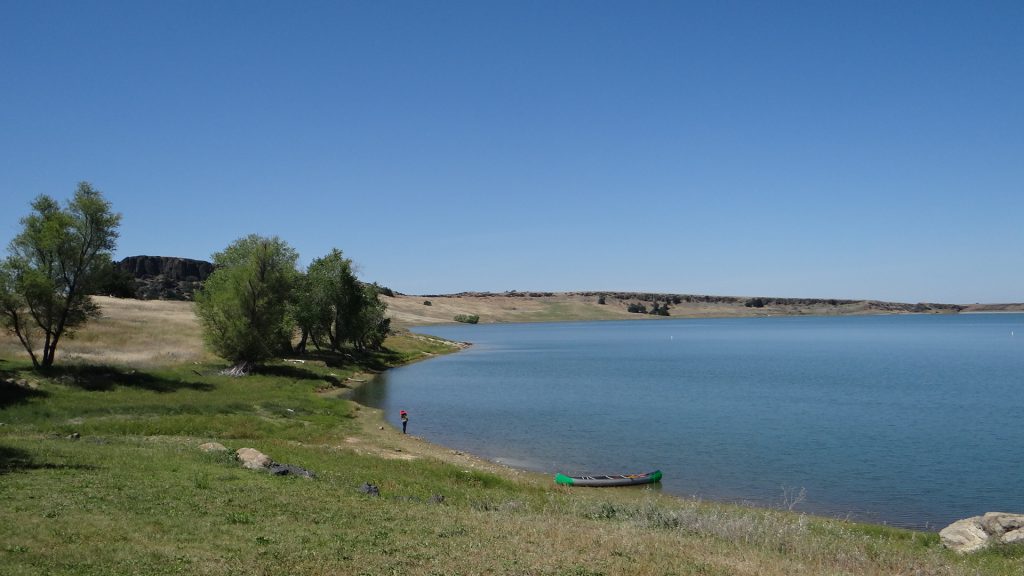
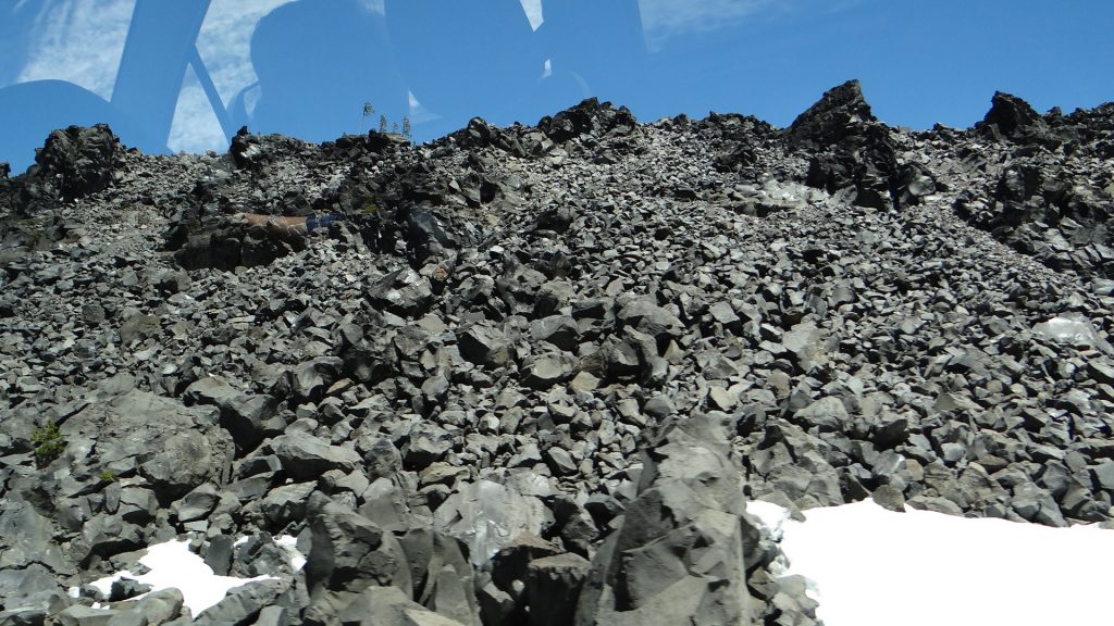
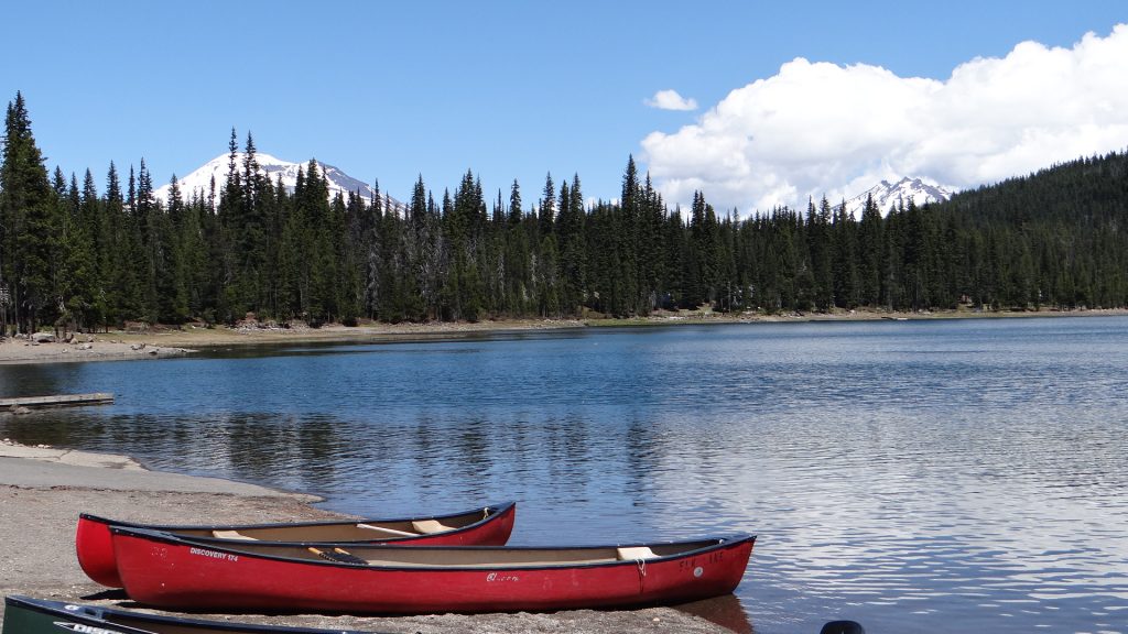
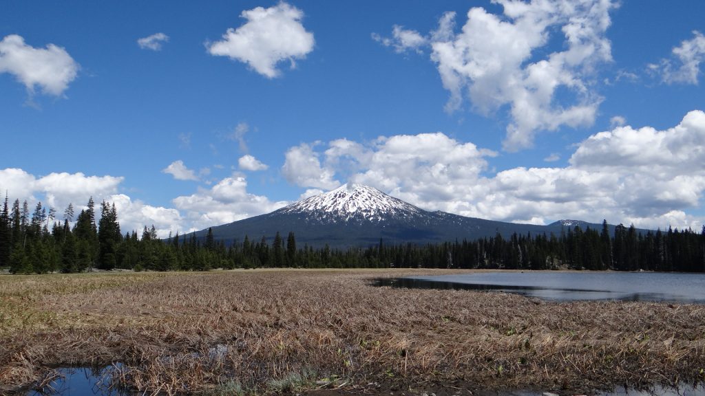
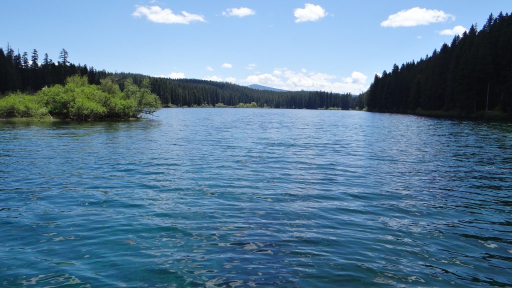
The next day as promised Judy drove us around Mt Bachelor to Elk Lake and Hosmer Lake. A lot of the land around Bend is covered by old lava fields from volcanos that are now extinct.

Lava field.
Winter transport at Elk Lake.
Elk Lake
Mt. Bachelor from Hosmer Lake
RG, Judy and Anne enjoying the view.

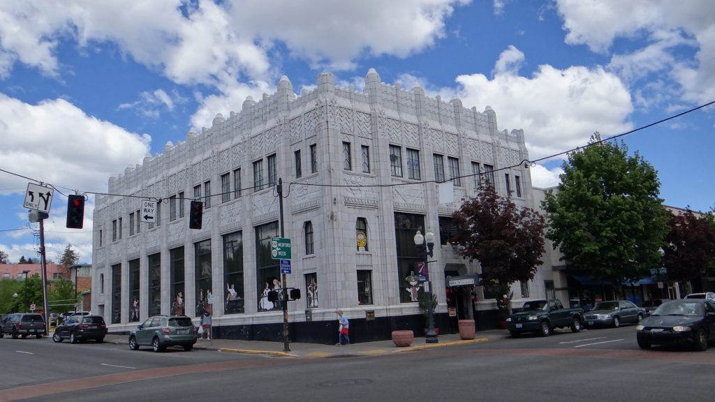
We then returned to Bend where Judy and RG took us on an impromptu tour of downtown Bend, and we ended up in a shoe shop as Anne needed new trainers after all the walking!! RG and I took the opportunity to try out some beer samplers at Deschutes Brewery!!

Artwork on our tour.
This was in Gas Alley. Apparently the art work is changed on a monthly basis.

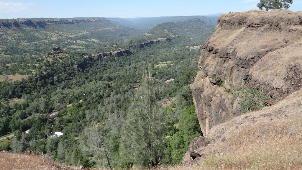
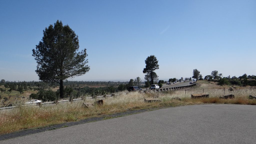
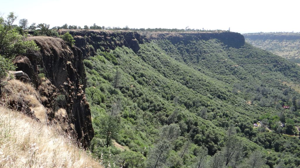
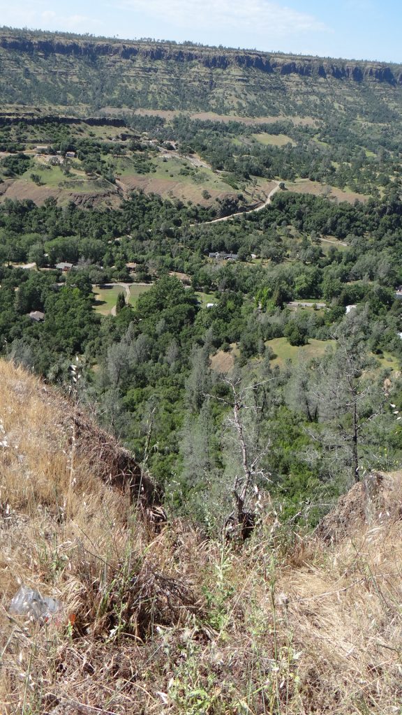
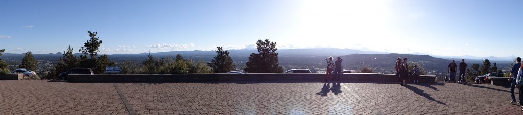
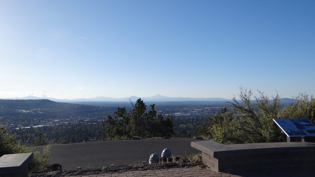
After a meal Judy drove us up Pilot Butte which is a extinct cinder cone 480ft high right in the middle of Bend. We were lucky it was a sunny evening, so we got a 360° view of Bend and it’s surroundings.

Cannot really see the detail but it gives you an idea of the views.


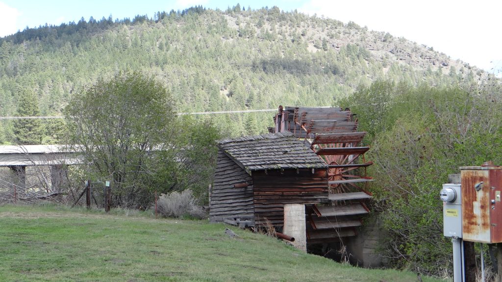
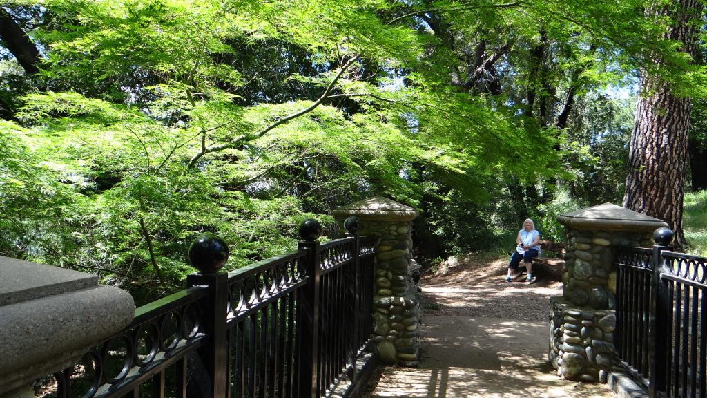
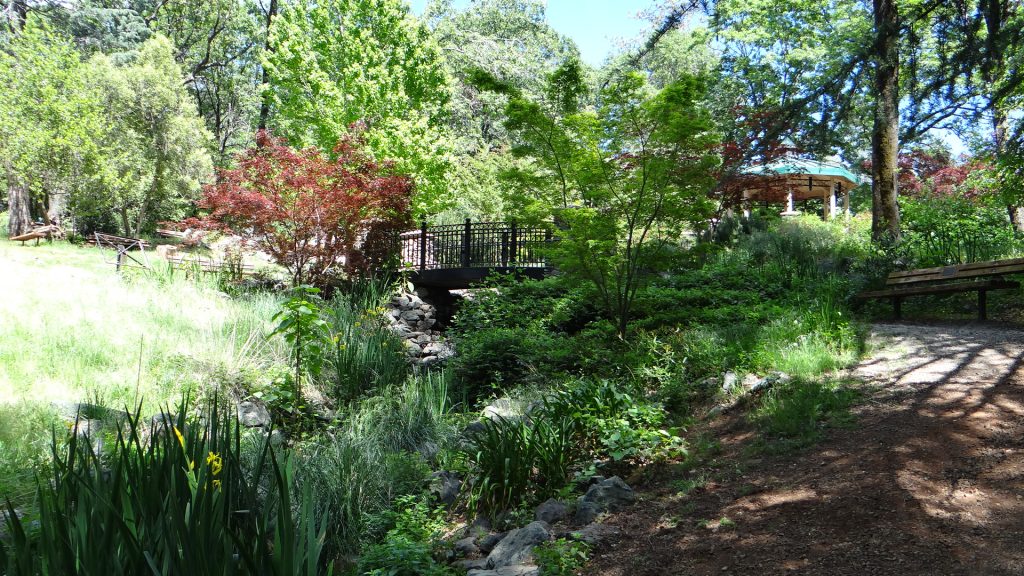
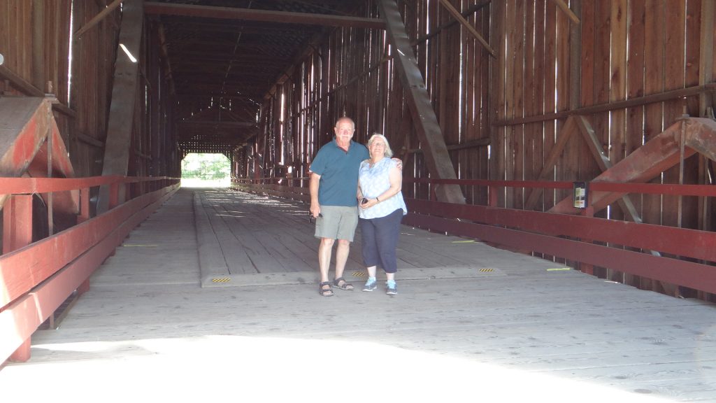
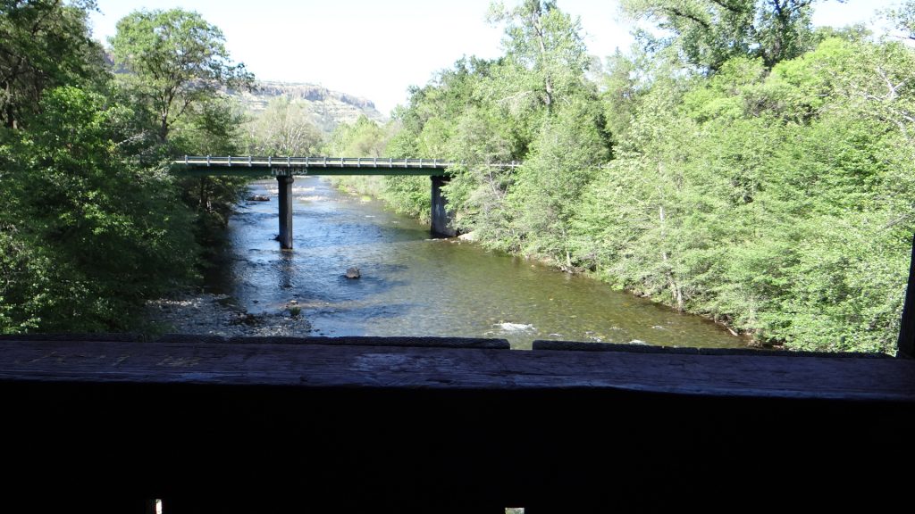
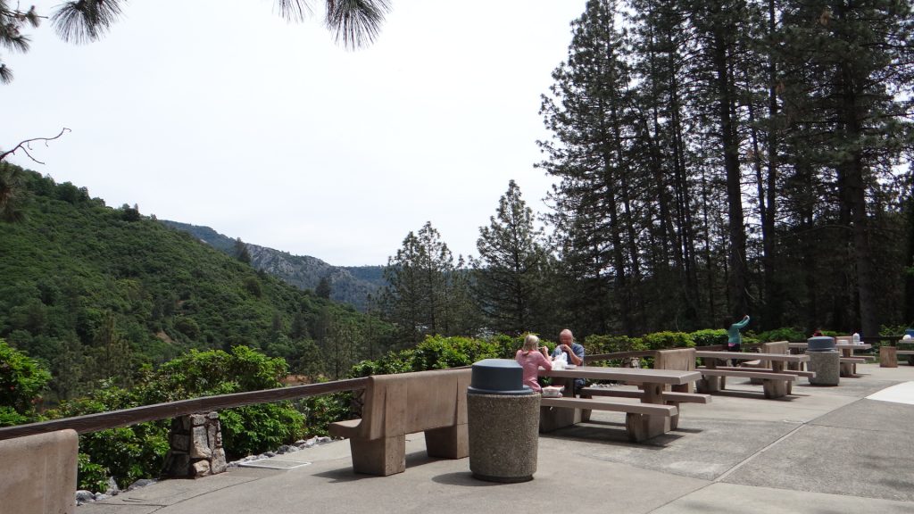
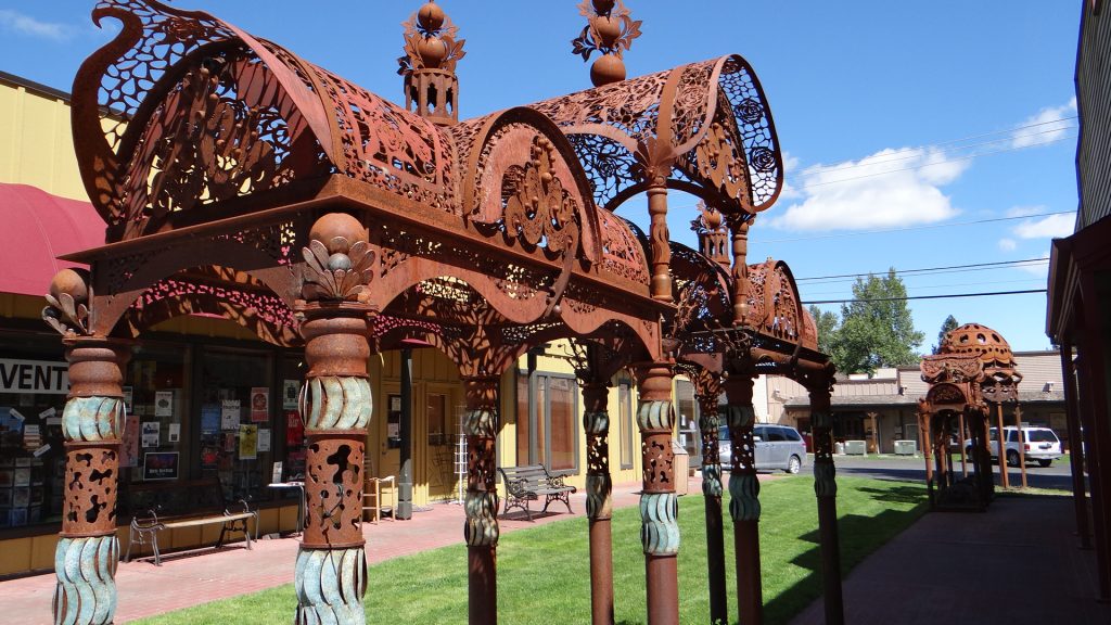
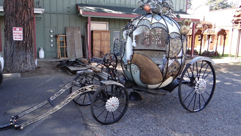
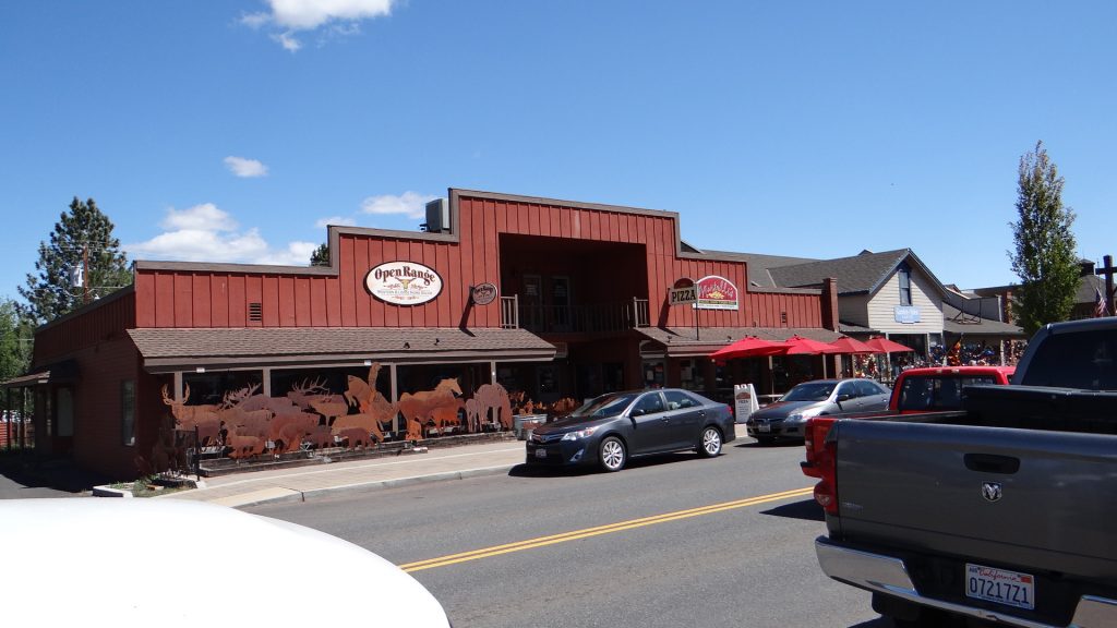
The following day Judy had planned another journey via Sisters to Sahalie Falls and Clear Lake.  The reason we went via Sisters, was it was on the way anyway, but it also contained Sister’s Quilt Shop, so you can probably guess who wanted to pay that a visit. RG and I walked around Sisters while the ladies were in the shop. Interesting place with some old buildings and a Clockmakers that actually still hand makes clocks, some of which he has actually exported to Switzerland!!

Smoke House.
Lots of ironwork around Sisters.
A rival to Blackpool’s pink princess carriages!!
One of the older shops and more ironwork.

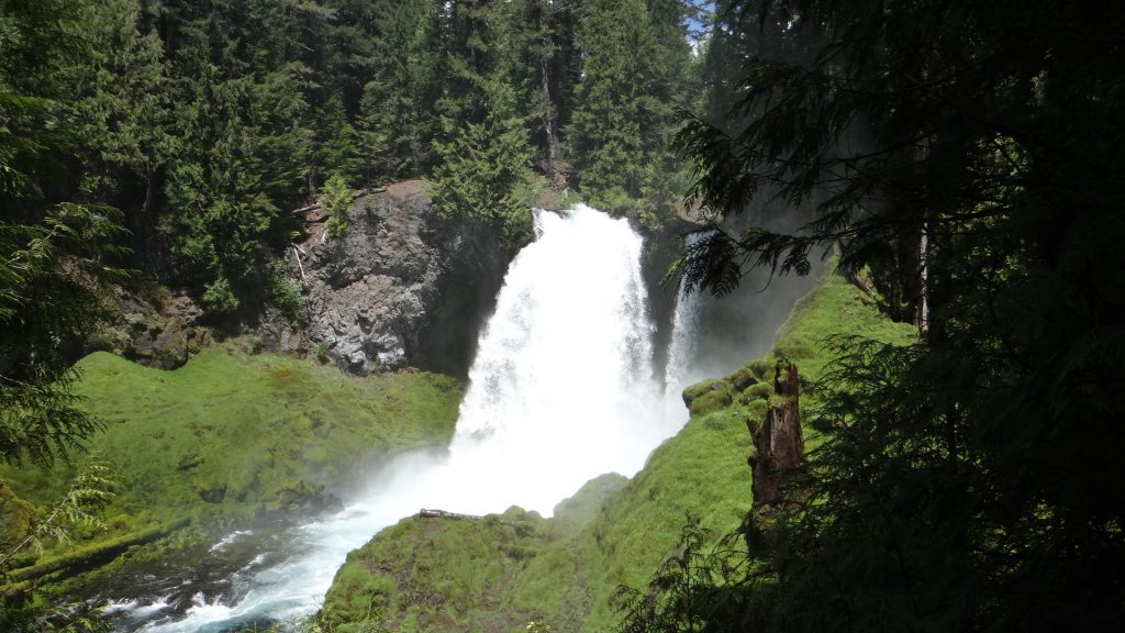
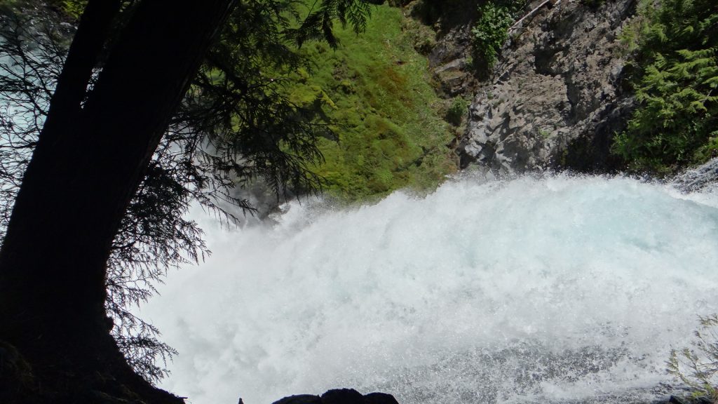
Next stop was Sahalie Falls. Not sure how much water was pouring over these falls but it was quite a sight.

Below the Falls.
Above the Falls.
RG trying to hide behind Judy.
No hiding place!

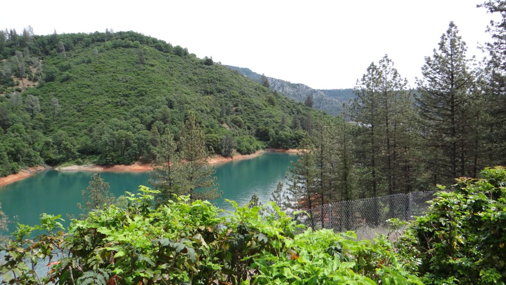
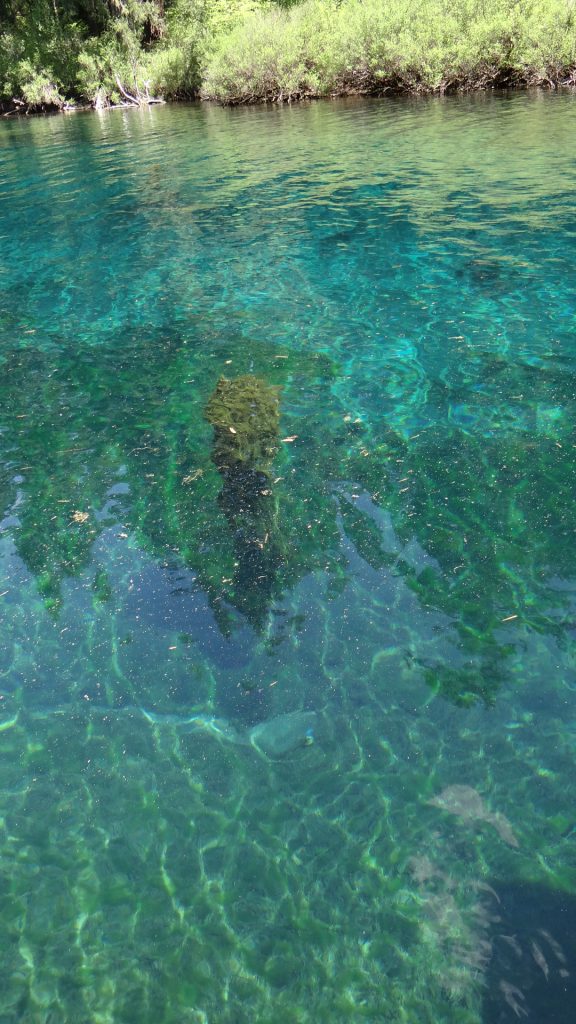
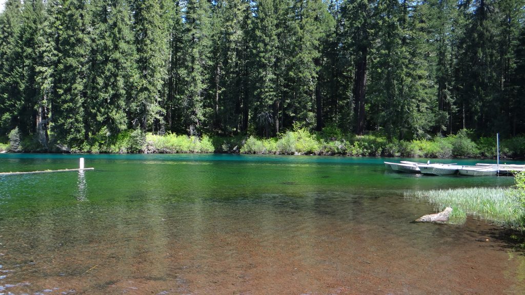
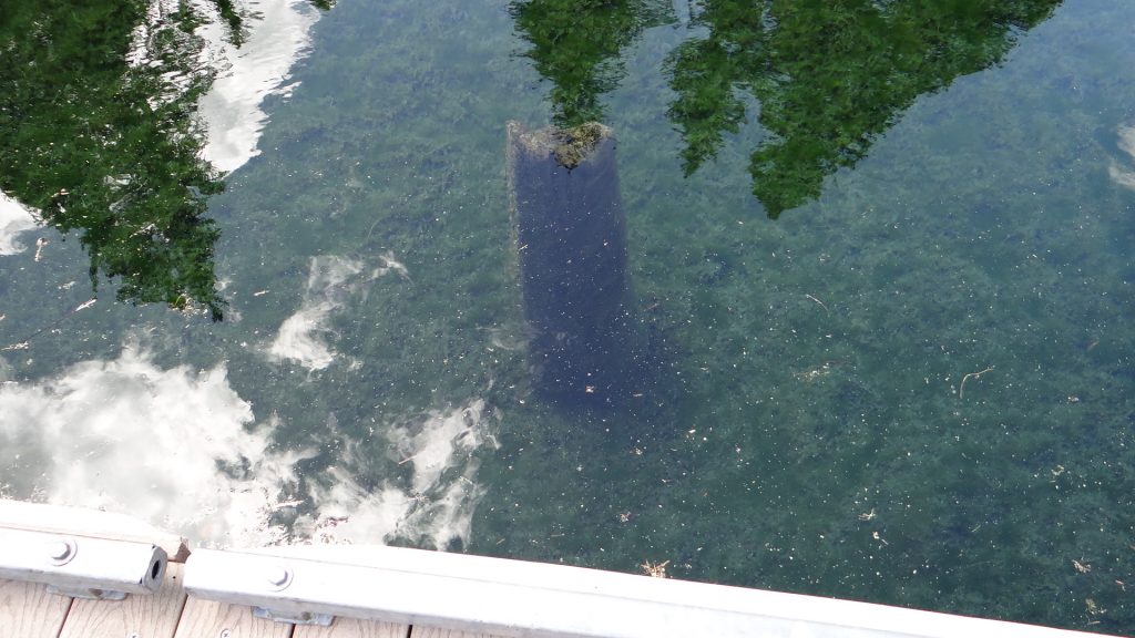
Clear Lake lived up to its name, the water was crystal clear and you could see some of the petrified tree trunks in the water.

Clear Lake.
Petrified tree stump in the clear blue water
Colours in the lake. Brown is water over sand. green is weed showing through and blue is clear melt water over rock.
Another tree stump. Nice reflections.

After a long day we had a very enjoyable meal at the Pine Tavern in Bend.

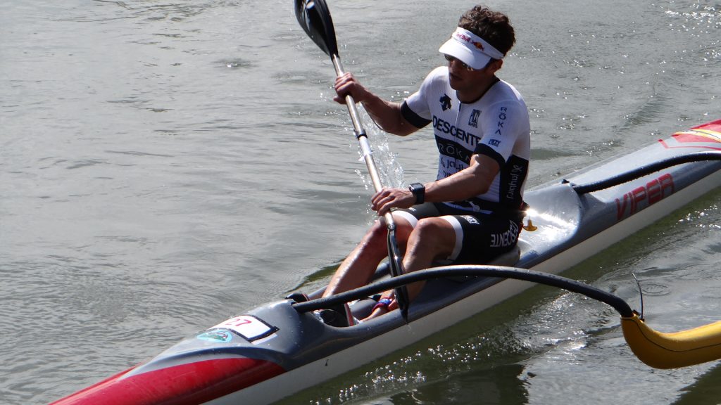
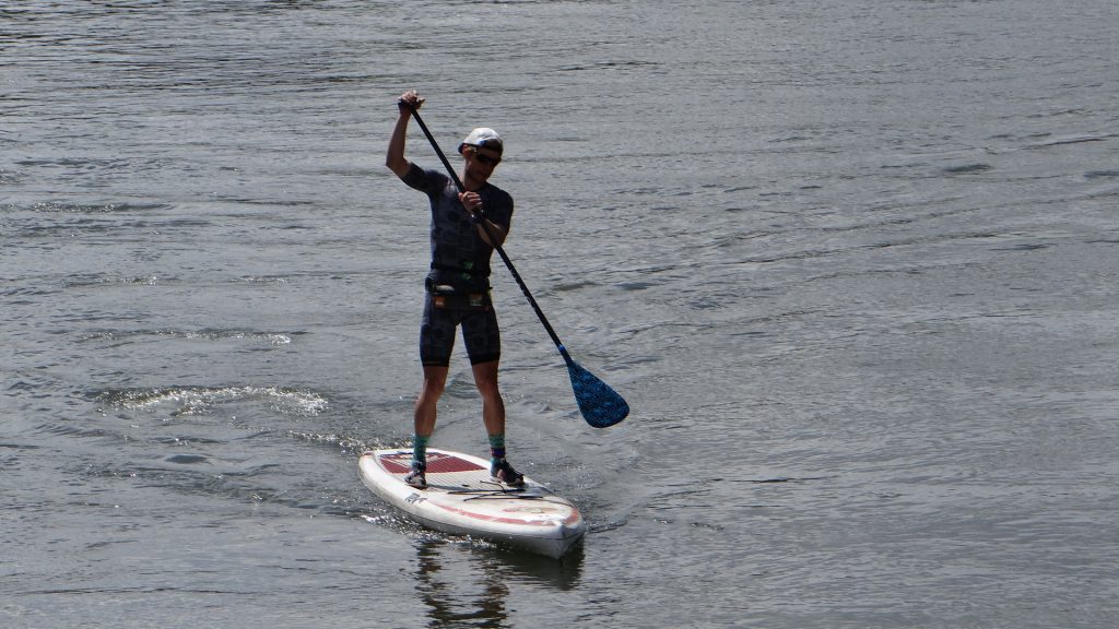
Saturday saw us getting up early to go and see a race called Pole, Pedal, Paddle. It also should include run but it doesn’t begin with P!! Competitors start at the top of Mt Bachelor with a 200yd sprint uphill in snow carrying either skis or a snowboard, then they ski/snowboard down Mt Bachelor’s Leeway trail (about 2 miles), then they cross country ski around a 5 mile course, then they swap to bikes for a 22 mile ride to Bend, then they run again for 5 miles, and then switch to a canoe/kayak for a paddle over a 1.5 mile course with upstream and downstream legs on the Deschutes River and finally ½ mile sprint (in my case it would be a crawl if I ever made it that far!!) to the finish. It was exhausting just watching them.

Kayaks and Canoes lined up ready for the Competitors to arrive.
And more. They must be mad!! Quite a lot of Charities supported plus local Sports facilities.
The eventual winner, he was quite a way ahead of the others.
The ladies winner, think she was either 5th or 6th overall.
This looks like hard work!!
Got very busy when the rest of the field arrived.

After this we adjourned for lunch and watched the rest of the field from a restaurant!! We then went back to RG and Judy’s as they had arranged an evening dinner to which they had invited RG’s brother Ed and his wife, plus some cousins that also lived nearby.

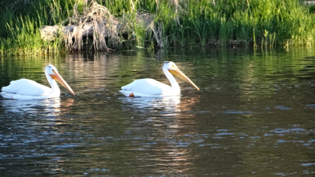
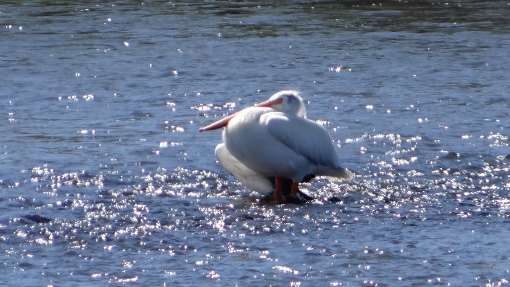
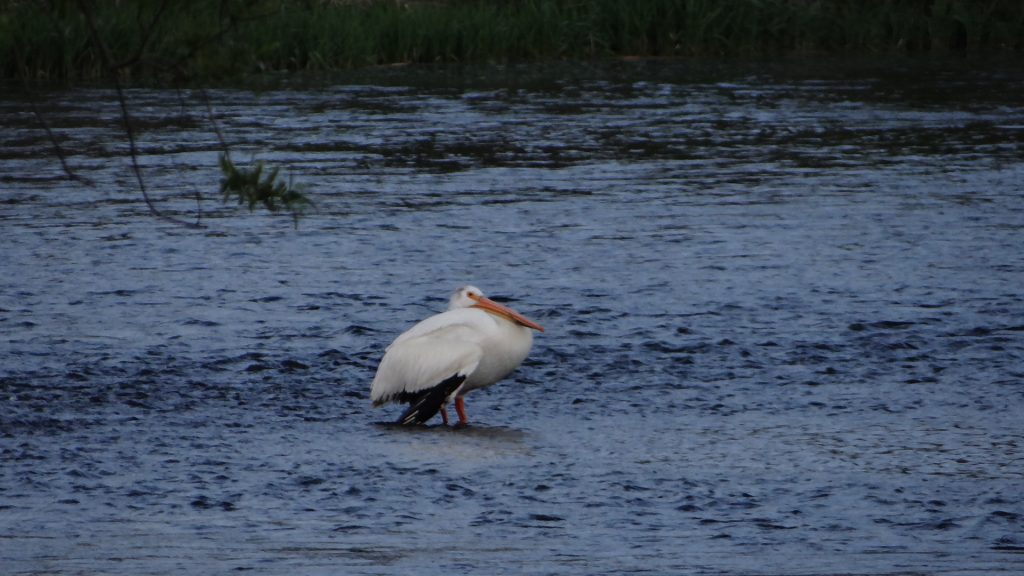
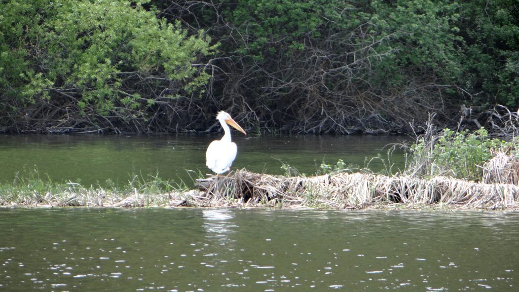
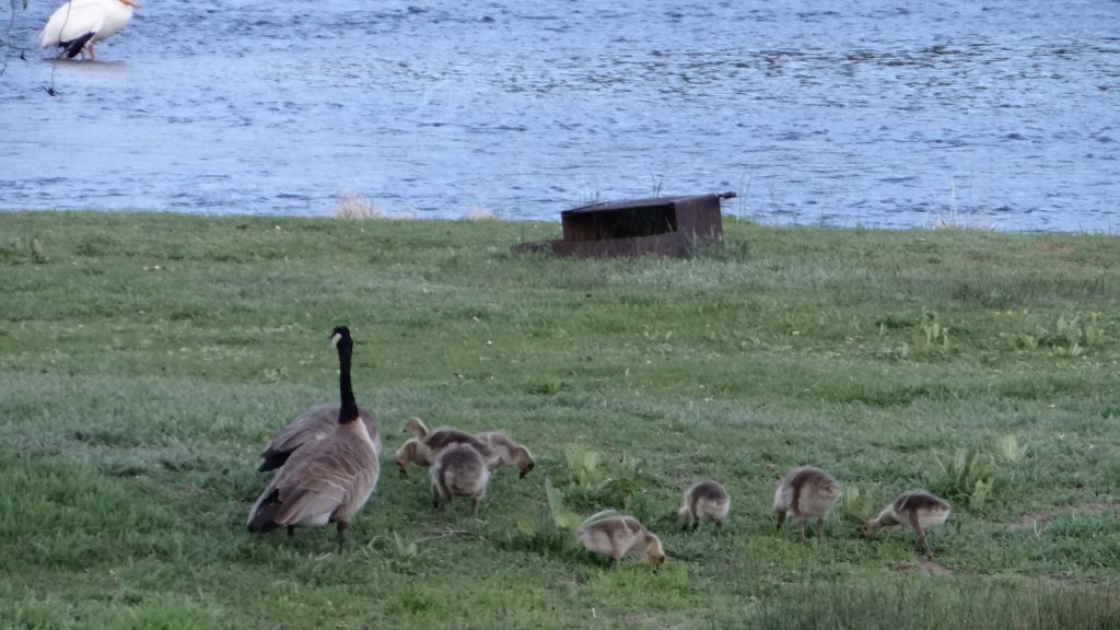
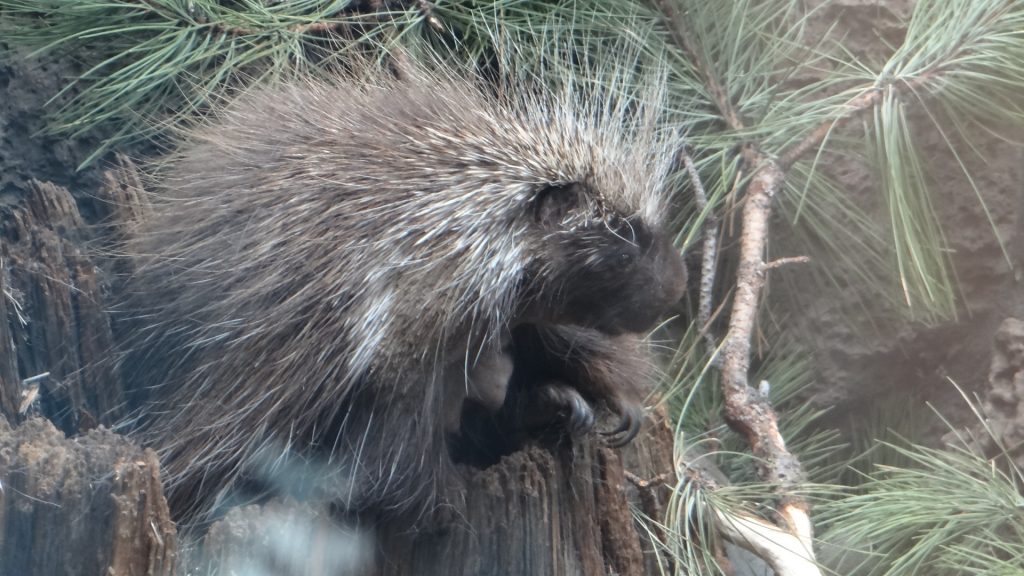
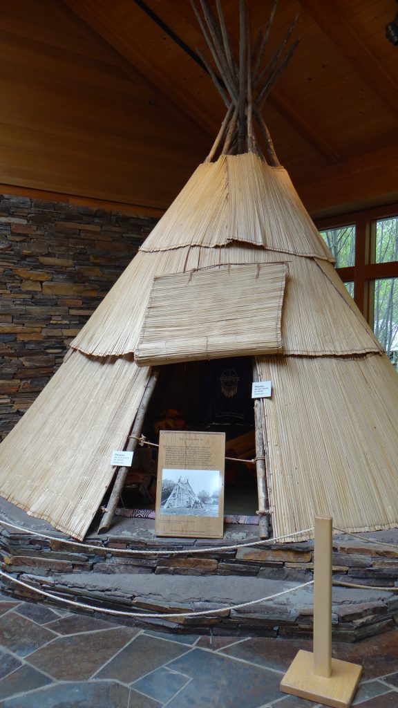
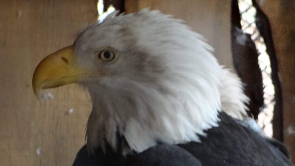
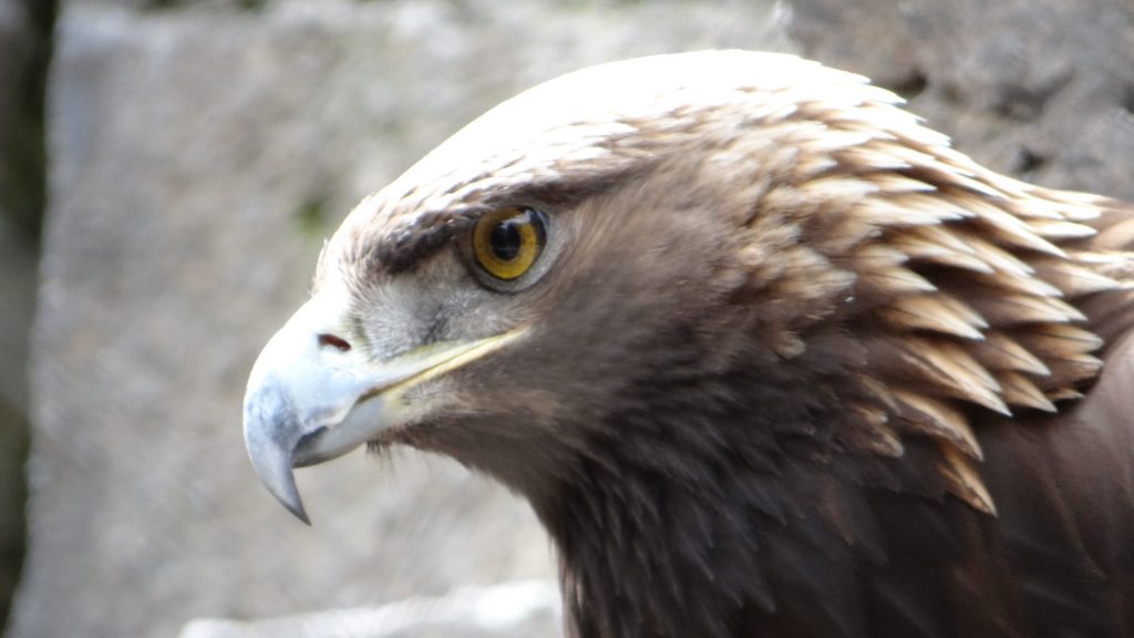
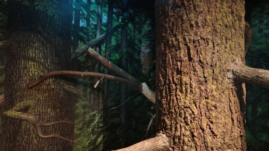
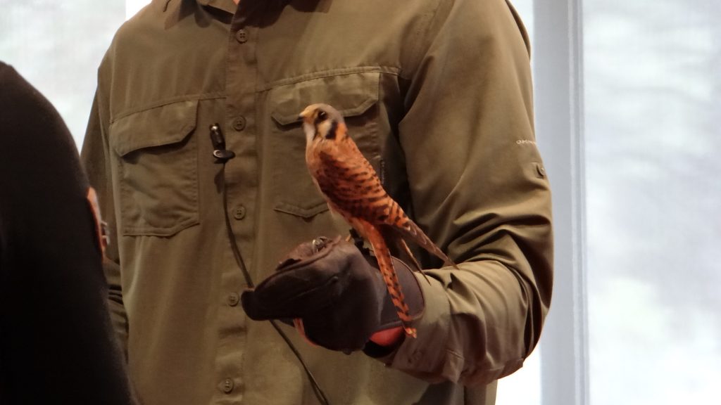
Anne and I went to the High Desert Museum, just outside of Bend on US97, on the Sunday morning. Very interesting place with lots of exhibits and some amazing birds.

Local porcupine.
Bobcat
Local tribe Tipi
Bald Eagle
Golden Eagle
Look carefully by the big tree trunk, there is an owl hiding.
Very interesting talk on raptors, plus a kestrel.
Steam powered saw mill, which they only fire up on certain days, unfortunately not Sundays!!

We then went back to RG & Judy’s. Judy had some tickets for a concert in Bend in the afternoon which she and Anne were going to. RG and I decided to try the Cider sampler at Atlas ciders. Must admit I preferred the ciders to the beers and the less fruity ciders (raspberry and other red ciders not to my taste!!). Then had a pint of the real stuff, before we adjourned to a restaurant called Greggs Grill for  a very nice evening meal. We then returned to their house where RG managed to phone John Landry (ex M&D head of development) and it was nice to catch up with him.

Regretfully after this we had to leave, as we had to get up early for a long drive to Depoe Bay on the Oregon coast the next day. We really enjoyed meeting up with RG and Judy after all these years, and if you are both reading this, thank you for your hospitality over our four days in Bend.

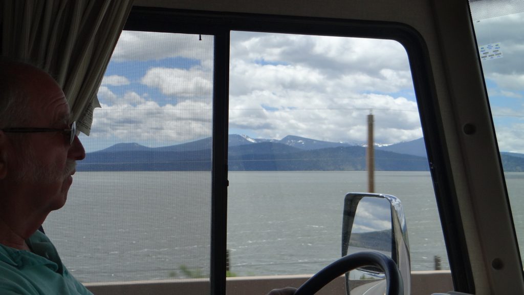
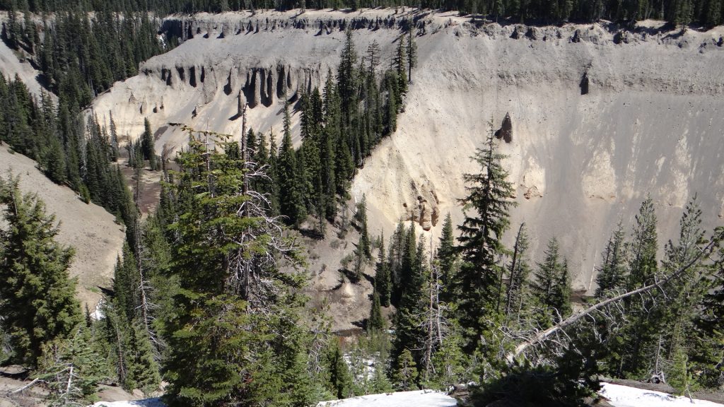
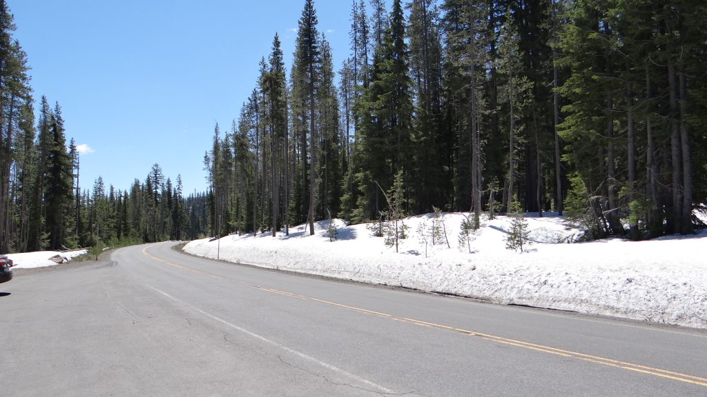
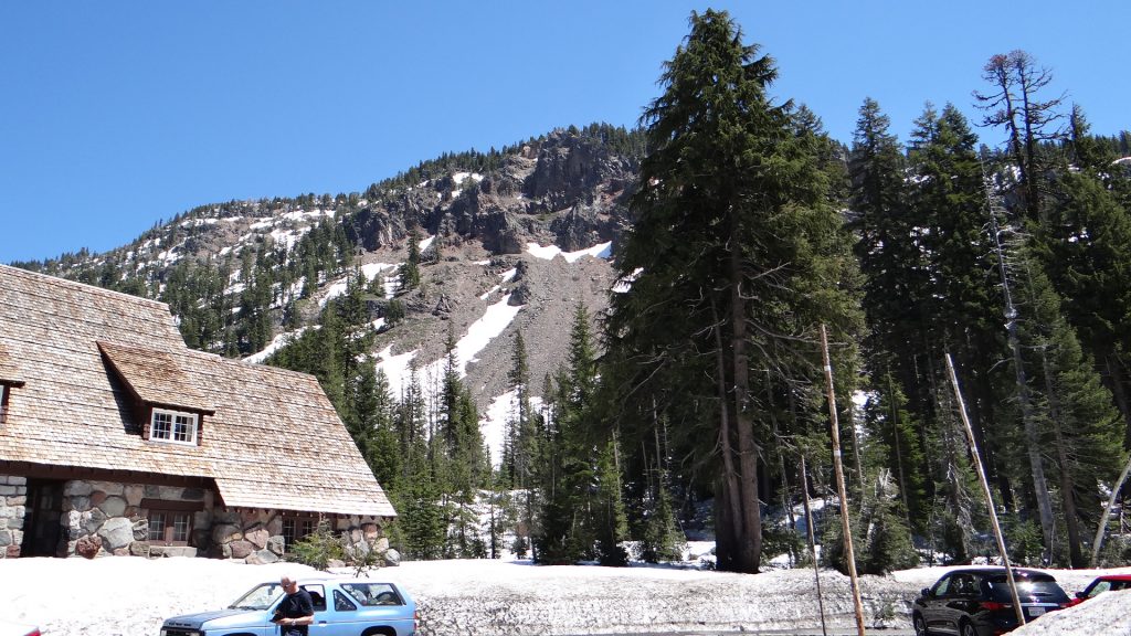
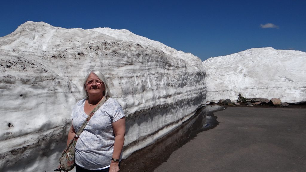
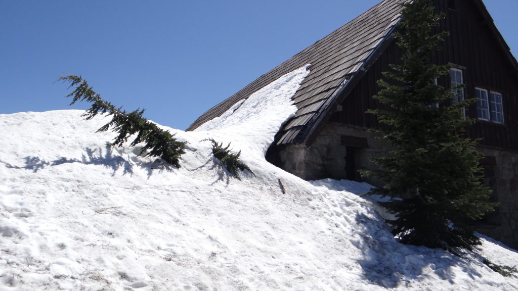
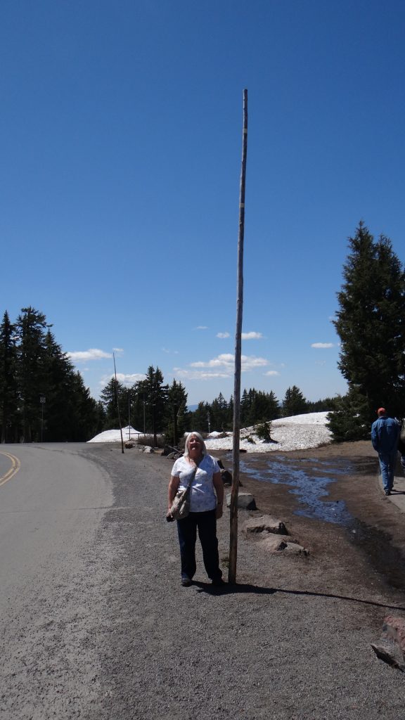
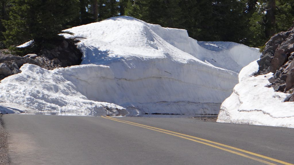
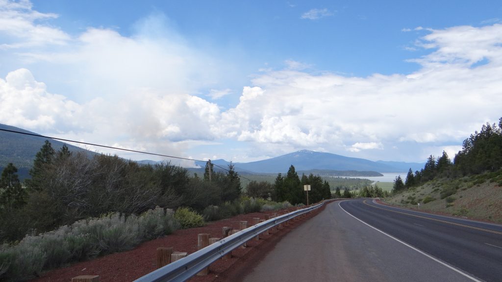
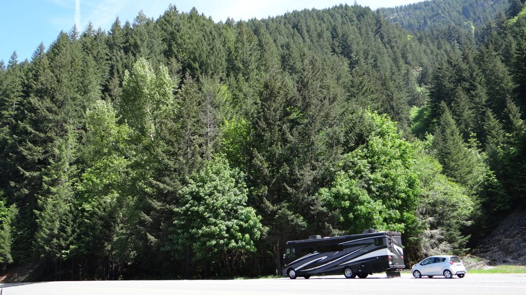
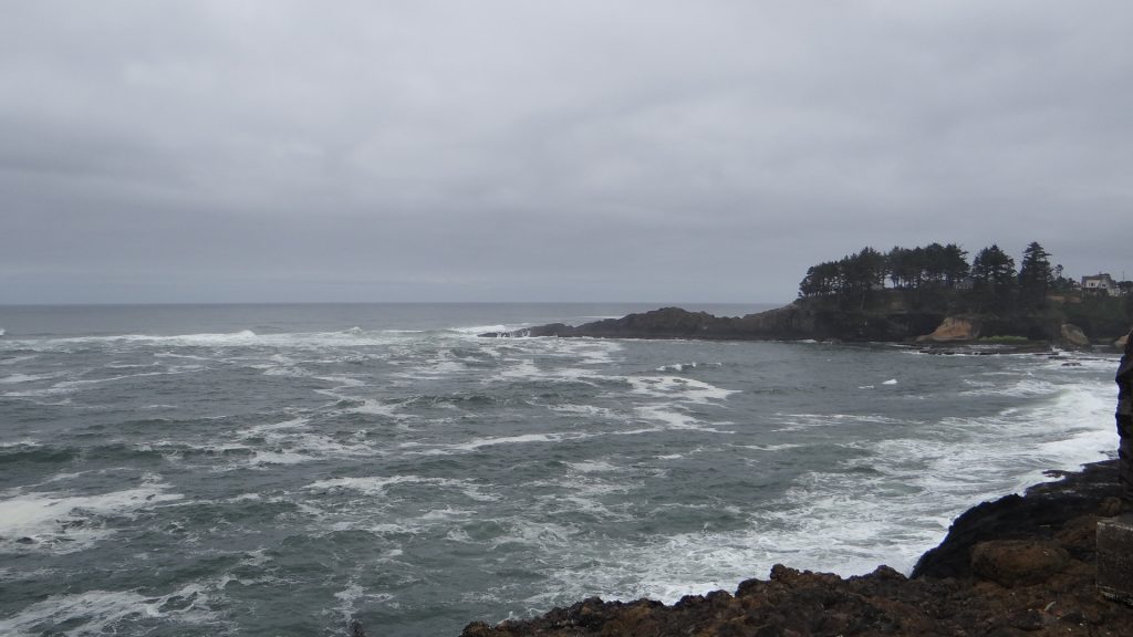
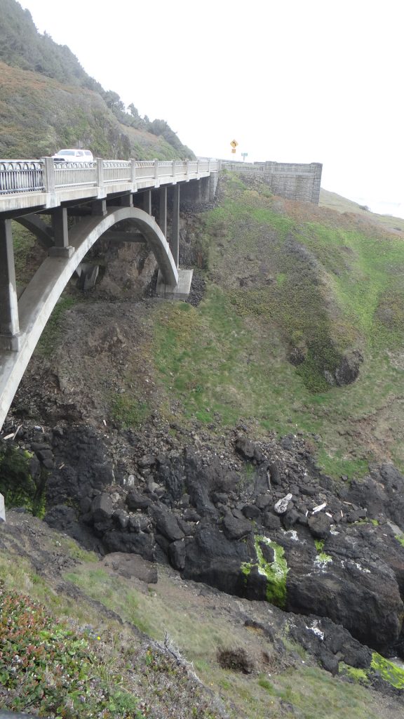
Then onto Depoe Bay on the Oregon coast, almost 200 miles to the West from Bend. The journey involved driving through some magnificent mountain passes.

Couldn’t quite get the top of the mountain in!!

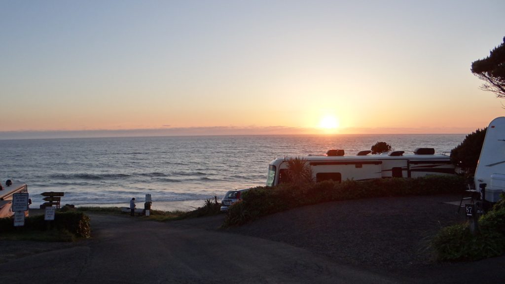
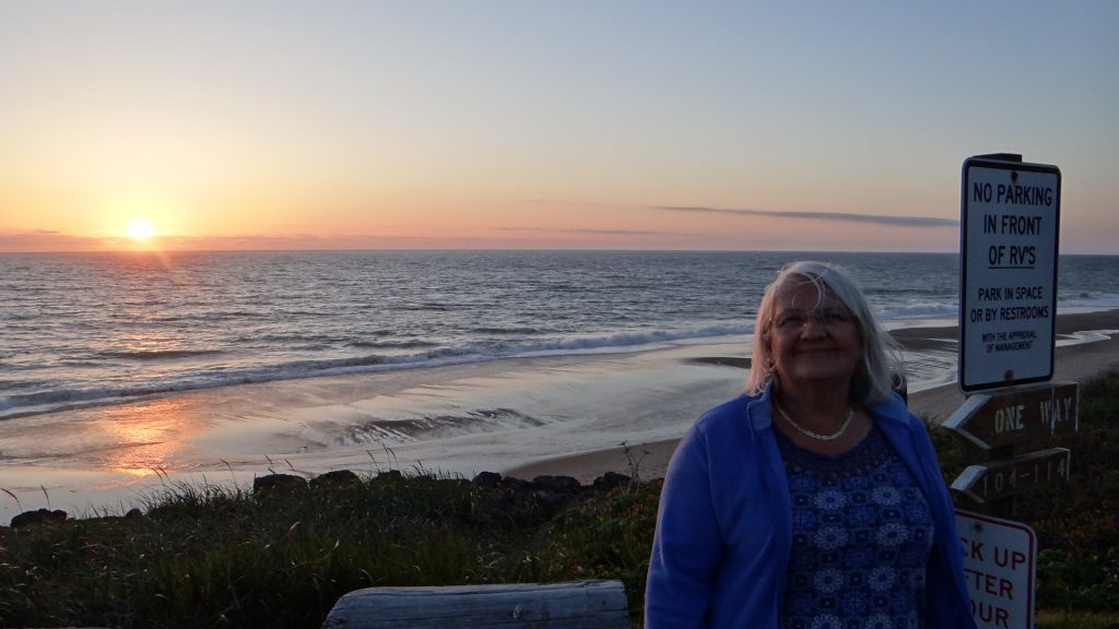
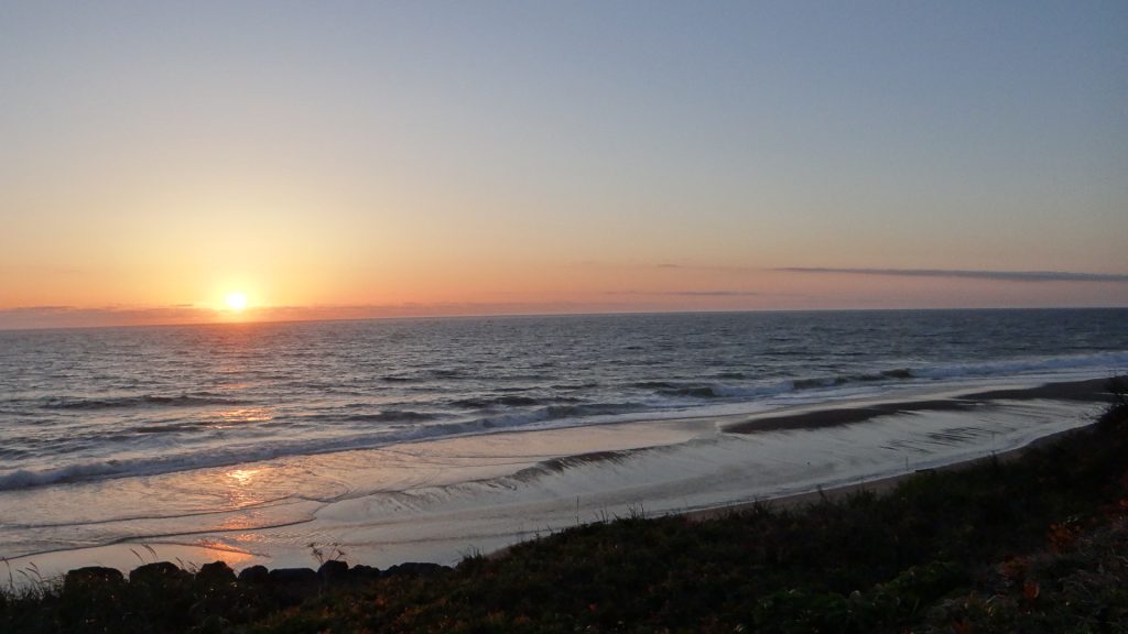
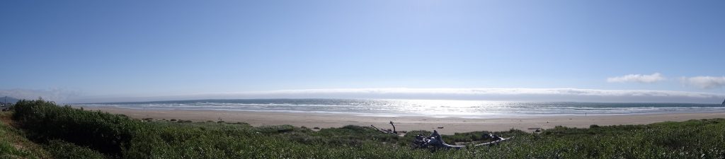
And we arrived at the Sea and Sand RV Park to these amazing views and sunsets.

View from the RV
Sunset over the Pacific Oregon coast.

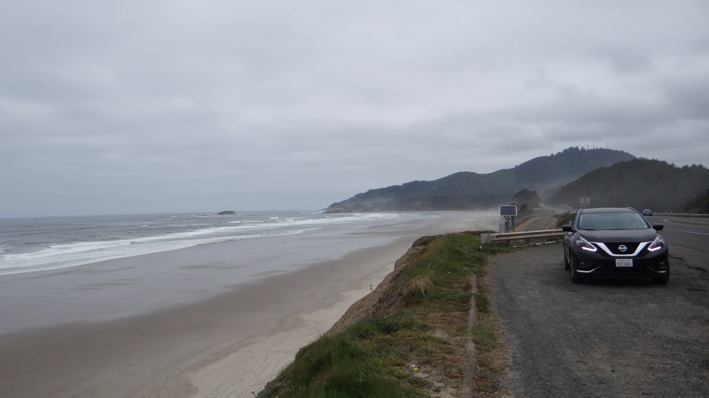
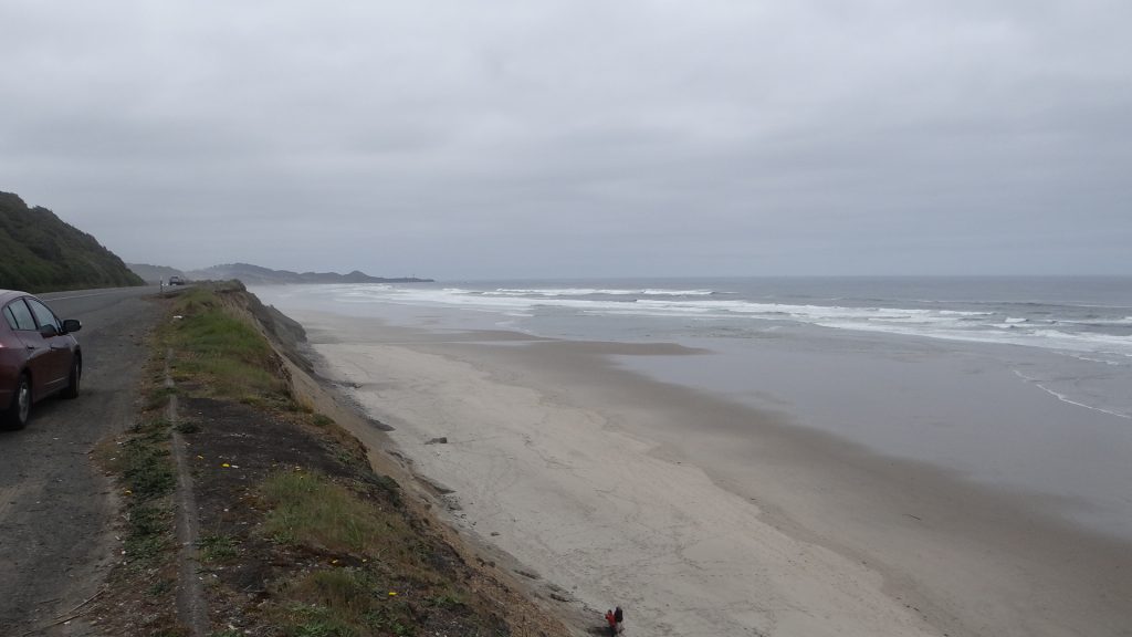
We had two days here before we moved onto Portland so we decided to go North on the first day and South on the second.

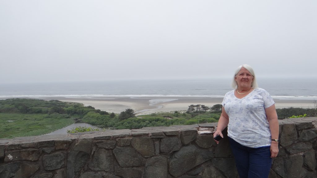
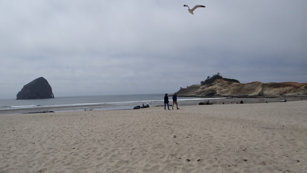
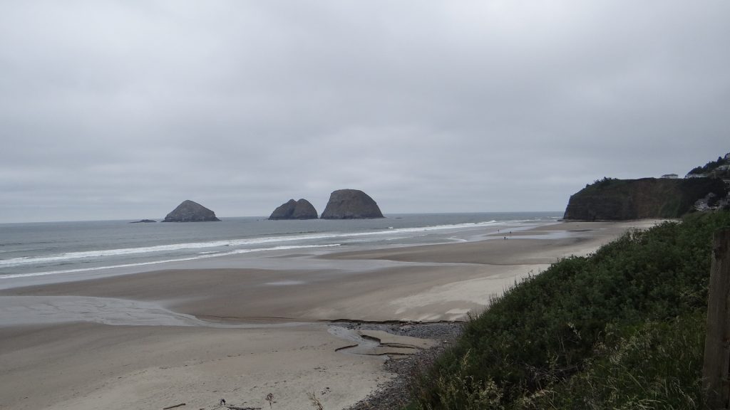
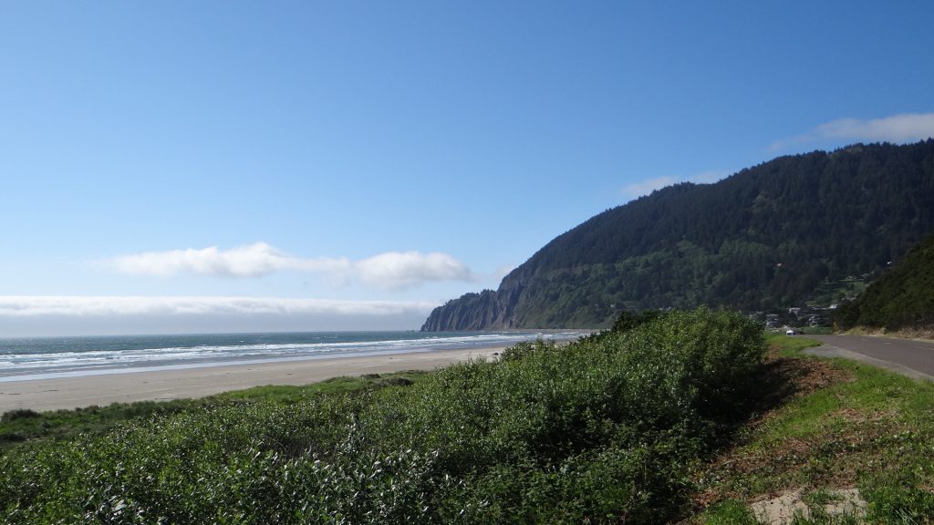
Well all I can say is Oregon has some huge beaches with hardly any people on them, and some marvellous scenery on a par with Grand Sur. Perhaps we were a bit early in the season as they were almost empty!!

Bit grey in the morning but it got sunnier.
Almost empty sand!!
Talk about a long beach!!
Lots of offshore islands.
Manzanita Beach
Magnificent.

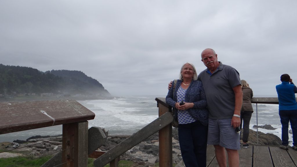
The journey South didn’t disappoint either. We went down as far as Dunes City and stopped at various places on the way.

Sea Lions.

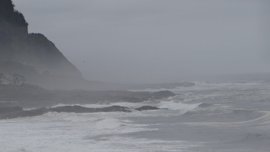
And we spotted whales!!

Look at the open patch in the foam, that is a whales back.
This one is better, thar she blows!!
Just diving.

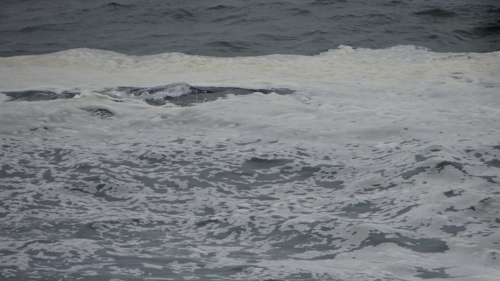
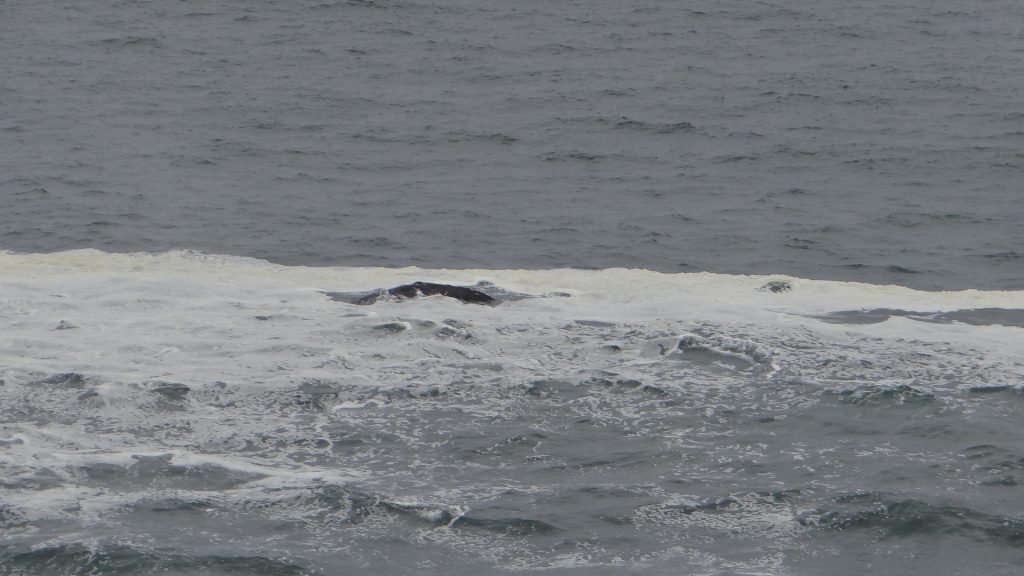
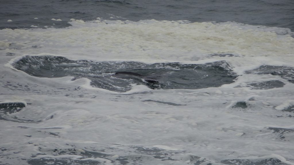
Amazing thing was they were only about 300yds offshore!!

So after two days of driving, luckily we then had a short drive to Portland, our next stop and my next post.


Into Oregon, Chiloquin and Klamath Falls and Crater Lake.

There are going to be quite a few updates over next few days as I am 3 stops behind so I hope I do not bore you all too much.

On the way up US-97 we passed Grass Lake. Rather aptly named as unless you look closely it looks like grass rather than a lake, but it is there!!

Look carefully and you can see water!!
It was huge and looked like a green pasture.
Parked in the Rest Area.

So we entered Oregon on US-97 on the way up to Bend but our first stop was just outside Chiloquin at Waterwheel RV Park and Camping. What a lovely site right next to the Williamson River, with  views up and down the river and loads of local wildlife, from Canada geese (they get everywhere!) to freshwater Pelicans (didn’t even know they existed until we got here).

Driving past Klamath lake, another huge one that was created by a dam.
Our site at Waterwheel RV Park
Our view out the front window!!
Some of the wildlife!!
I think the waterwheel is a bit worse for wear!!
An Oregon sunset

For the first day, as the weather forecast possible showers, we decided to wait until the following day, which promised better weather, to see Crater Lake . So we drove south past Lake Klamath to the town of Klamath Falls. Now when we mentioned this to Nancy the lady who runs Waterwheel RV Park (she is a mine of information and a lovely person), she said “Well I hope you are not expecting to see the falls!!”.  Apparently it is a local joke that people come to Klamath Falls to see the “Falls” but there are none!!

We arrived and wondered where everyone was as the main street wasn’t very busy.

Klamath County admin offices, with porticoes!!
A very Art Deco First National Bank now a Mexican restaurant.
This is where everyone in Klamath is,  in the park at what we would call a Fete!!

It was at this Fete as we were walking around we came upon a local beekeeper called Katharina Davitt. She is German, having met her husband who was in the US forces in Germany, married him and returned to US with him. Thanks to her we discovered what those little boxes in California were for, as they turned out to be used to turn virgin Queen bees into mated Queens so they can start a new bee colony. Apparently every hive has special queen cells where queen larvae are fed exclusively on royal jelly, which is what makes them Queens rather than ordinary worker bees. Now they tend to all hatch at once, and then fight to kill each other until there is only one left to be mated to become a Queen. So a lot of Queens are killed which is not good in an area that needs lots of bees like California. Now experienced beekeepers can spot the virgin queens hatching and they put each of the virgin Queens in a separate little box as in the picture so that drones can find them and mate with them to produce a mated Queen. Apparently the mated queens can be sold to other beekeepers to attract a swarm and start a new hive and they sell for up to $35 each!! The field we saw had 2 or 3 thousand boxes, so if you do it correctly there is quite a lot of money to be made!! By the way the boxes are all different colours so the Queen can recognise her own mini hive!! So what we had seen was a Queen bee mating area!!

Katharina Davitt is a fascinating lady who knew an awful lot about bees and has even written a book on bees and is a member of the Klamath Basin Beekeepers Association . If you visit the Public Outreach menu item in the left menu you can see what Katharina is doing to educate people on bees.

A Southern Pacific train in the park. Just for Bob J!!
A blossoming cherry.
The park was right on the edge of the lake.

When we returned to the RV park two freshwater pelicans had taken up residence on the river.

Arriving opposite our RV.
Settling down for the night.
They must have well insulated feet as they stayed here all night and the water wasn’t very warm!!

Next day we were off to Crater Lake, but before we left we noticed only one of the pelicans had left and the other had stayed as it appeared to have a damaged wing.

You can see its wing hanging in the water. We let Nancy know and she said she would phone the local wildlife rangers.

On the drive up to the lake we passed an area that has a very steep canyon that contained fumaroles caused by the immense eruption of Mt Mazama (the volcano that blew its top to create Crater Lake). Super heated dust and pumice filled in the valley and the river was buried but turned to steam in the heat and created the fumaroles as the steam escaped. Over time the dust and pumice was washed away leaving the harder fumaroles.

The fumaroles are sticking out of the far canyon wall.

As we drove on there was more and more snow on the side of the road.

And then at the lower visitor centre there was even more snow.

Now above the cars.

And then we reached the rim of the Crater and it was very deep. They get an AVERAGE of 44ft per year!!

Snow drifts around the back of the visitor centre.
And still up on its roof.
These poles are to guide the snow ploughs. they are at least 25ft high.
The road around the rim beyond Discovery Point was still closed and not ploughed, not expected to open until late June.

And then we saw the lake. Wow, what a sight, almost indescribable, so I will just let you look at the pictures.

The island in the middle, called Wizard island, is the remains of the volcanic cone.

The lake is the deepest in the USA and is also the clearest, objects can still be seen 142ft from the surface.

It was a beautiful day and with no wind on the lake, as you can see the rim was reflected in the lake all the way around.

More reflections.
And again.
The remains of the cinder cone on Wizard Island.

An amazing place. If you ever get the chance to visit on a day like ours DO NOT MISS IT, your breath will be taken away the moment you see it!!

One thing that amused me. Apparently they only plough up to the edge of the roadway where the poles are. So they constructed these tunnels so you can still access the restrooms when the building is completely covered in snow. Ladies left, Gents right.
Unfortunately the wing damaged Pelican was still there when we got back.

On our last day we took a journey right around Lake Klamath (about 65 miles) and it just so happened there was a quilt shop on the other side called Quilting Sisters in a place called Rocky Point. Haven’t got any pictures, Anne has, but it was an interesting place run by an 80+ year old lady, who told us “kids” to drive safely!!

A designated burn on the way. It means an official burn to clean up the forest floor.
Looking back at the lake and towards Crater lake with the designated burn to the left.
Another pelican further round the lake.
Canada geese goslings feeding on an island on the river at the camp ground. The pelican was still there at the top of the picture.

And that was the end of our stay and we never did find out what happened to the pelican although he/she was looking better and flexing its wing when we left.

We then moved on to Bend.


Orland, North California, almonds, olives and wines.

From Yosemite we moved into Northern California. California seems to have been going on forever, and this was going to be our last long stop in the state before we moved on to Oregon.

We had heard that this was a place to visit as it was renowned for its olive oil, almonds and most importantly wine!!

We booked into Parkway RV near Orland and again we managed to get into a very nice campground. lovely shady pitch, well off the Interstate, so nice and quiet at night. Needed the shade as the temperatures were rising again (92F/34C) and it turned out they had a nice swimming pool. It was while I was in the pool in the evening that I found out from some Canadians there was going to be a wine tasting run by the wife of the park owner.

It was an interesting experience and I returned to the RV having tasted a few local wines and without pictures as I had forgotten my camera!!

Pull through site so plenty of room and shade.
Spark parked behind.

The next day we then set off to explore the area and found a massive dam called Black Butte Dam and behind it was an equally massive lake called, you guessed it, Black Butte Lake!!

Black Butte Dam
Dam across part of the lake
You can fish, canoe, kayak,  almost anything except swim.
Map of part of the lake. in total 16 miles long.
On the way back we spotted hundreds of these in a field. Bet you can’t guess what they are. See my next post in Oregon.

The next day we decided to go East from Orland instead of West. We drove to a little town called Paradise and what should we find – it is built on a Butte called Butte Creek Canyon.

Now some of you may not know what a Butte is. Picture those western films with the hugely high rocks all alone in the desert. This one wasn’t quite as magnificent, but quite remarkable as it was long and thin and had a road going up it to Paradise.

The Butte and the valley extending into the distance.
The road that runs along the top of the Butte with sheer drops either side.
Looking down the valley.
A view across the valley to the Butte the other side. The valley floor is over 1,000ft straight down.
What can be found in the valley and on the Butte.

In Paradise itself there was a local Park called Bille Park that had been built on the side of the Butte with lots of unusual trees and plants and an ornamental creek with cast iron bridges. It was very a tranquil place just to sit and relax.

One of the bridges and guess who.
A view up the park showing the creek and one of the bridges and a cupola.

On the way back we thought we would explore the valley floor and came across something we were not expecting. There always seems to be something around the corner in America, and this was the longest 3 span covered bridge in the USA, called Honey Run Bridge. It is no longer used as a bridge as in the late 1950’s someone crashed into one of the supports but it was repaired and preserved, and can be used for weddings!!

Honey Run Bridge entrance
Inside the bridge showing the main span.
The bridge covering that was put on to preserve the bridge deck.
One of the main beams showing how it was encased in metal.
Anne and I in and on the bridge!!
The bridge that replaced it, not as pretty!!

The temperatures even in the evening were quite high so we ate outside.

On the next day I did some RV maintenance and Anne decided the light was so good she would use some of the fabric she had been buying. We also went into Orland and bought some local almonds and olive oil.

And the day after that we left Orland and headed to our last stop in California next to Mt Shasta.

A lake in Northern California just off I-5. The blue water is snow melt.
The rest area near the lake.
Parked up for the night.
Mt Shasta in the sunshine, the view from our RV.


Mt Shasta with the sun setting on it.

And the day after we left California and entered Oregon.