From San Francisco we travelled across country to visit Yosemite National Park. I had booked us in to Yosemite Pines RV Park which is close to the town of Groveland.
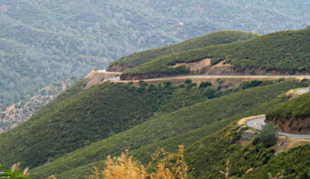
Looked lovely on the website (as indeed it was as you will see in a minute) but what I hadn’t realised was it was 3,000ft up in the mountains and to get to Groveland you had to use US120 which climbs up the side of a mountain along a twisty road with quite large drop offs on the side of the road. I wasn’t someone’s favourite person!!
We came up that!! And we have to go up and down it to visit some of the interesting places in the valley and do the grocery shopping.
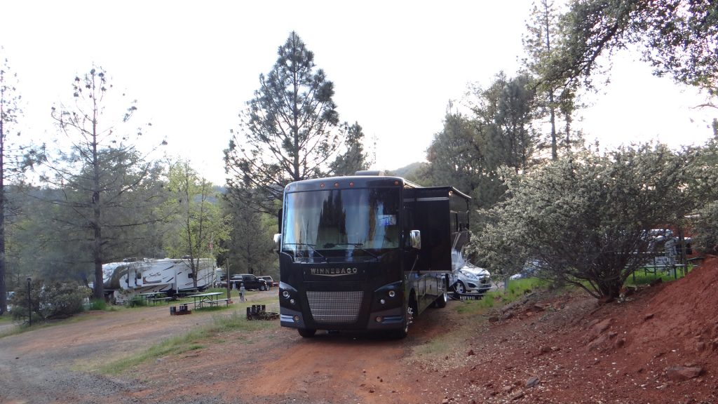
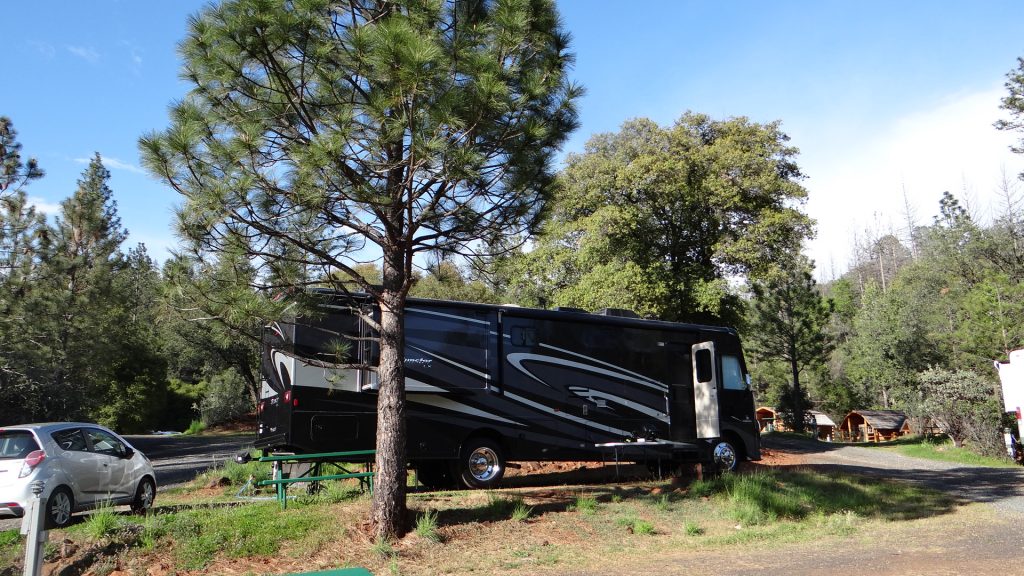
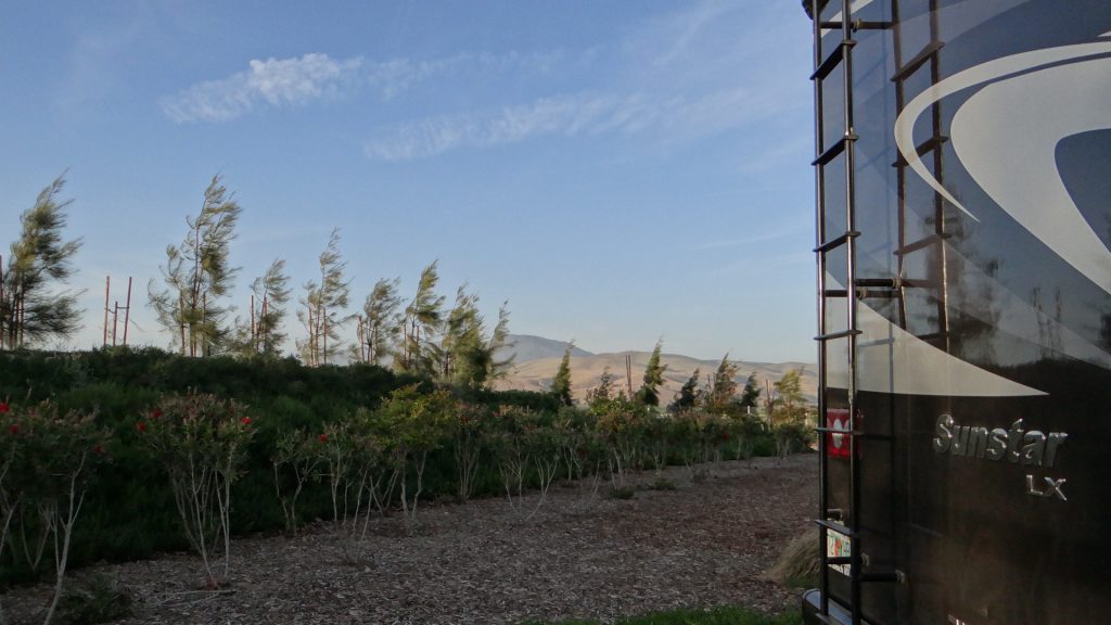
As I said though the campsite was well worth it with a lovely position halfway up a hill in amongst the pine trees.
Level site with full service hook-ups halfway up a hill.In the middle of a pine forest.Another view, lovely place.
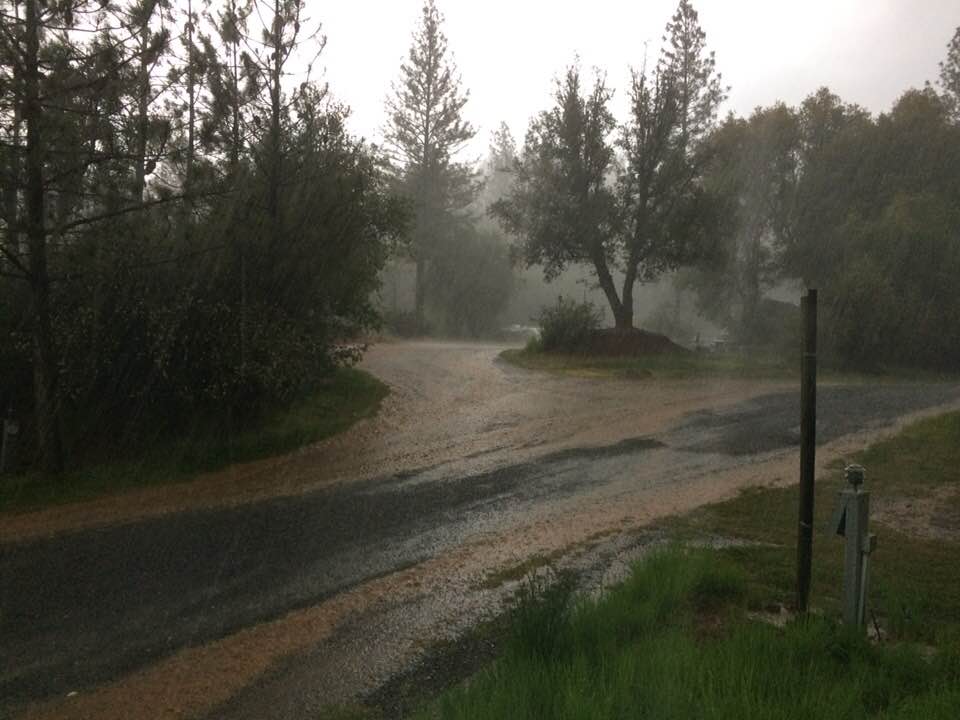
The next day we decided to explore and go up to the entrance of Yosemite National Park. Unfortunately the weather got gradually worse, with low cloud and fog and then it started to hail, so we decided to turn back and visit some of the towns in the valley.
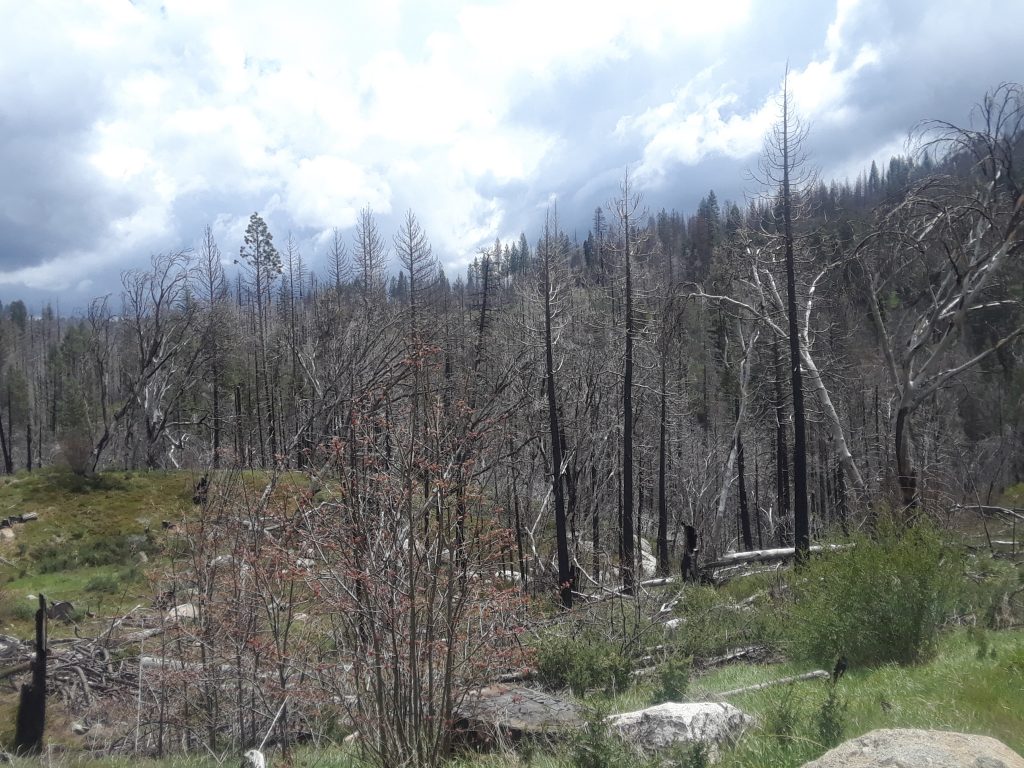
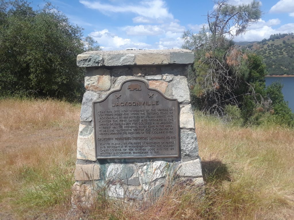
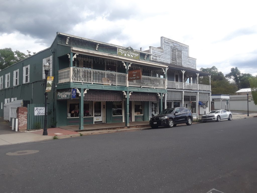
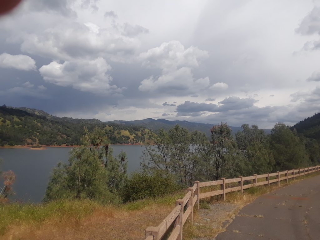
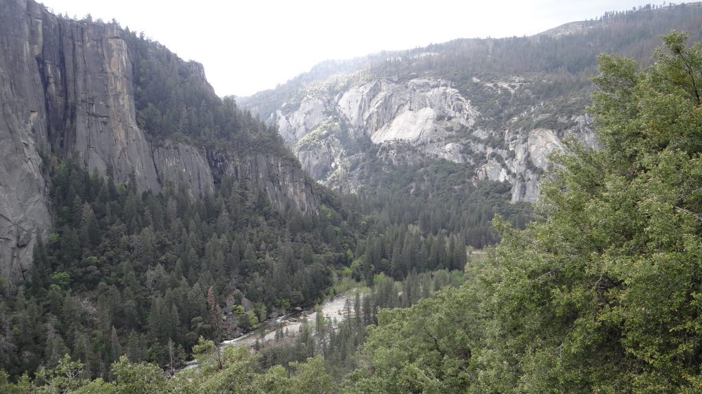
On the way into Yosemite and why we turned back!!On the way back down we saw the results of a massive fire in 2013.Lake Don PedroAttempt at a selfie, sun in eyes!!The lake, caused by a dam, swallowed the town of Jacksonville.We visited Jamestown, a historic town with wooden sidewalks.On the way back to the campground it got a bit foreboding!!And this happened, a massive thunderstorm!!
But by the next morning it was all dry.
Next day we decided that we had left the laundry too long and the forecast didn’t look good. Although to be honest it was a nice day and it gave us a rest!!
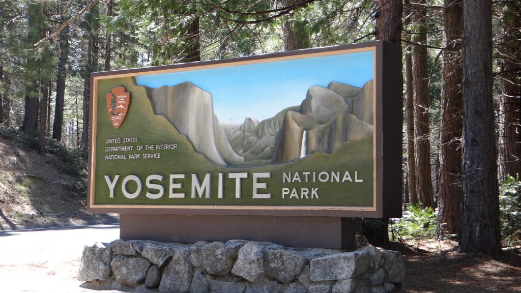
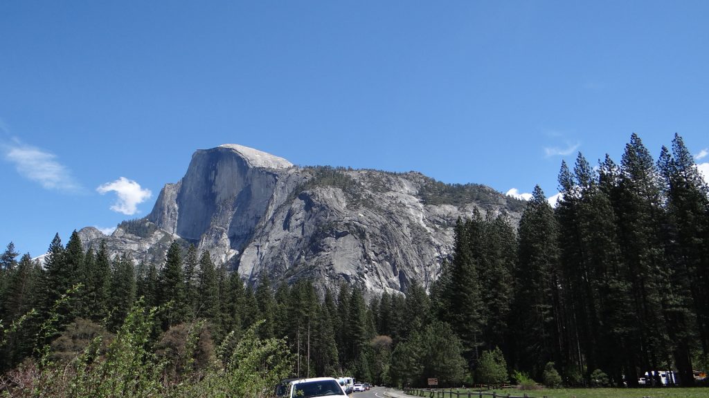
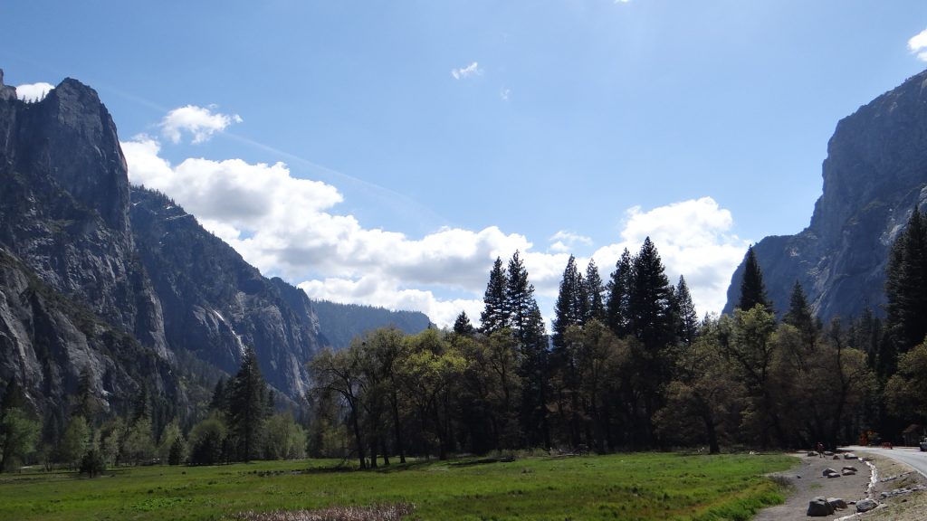
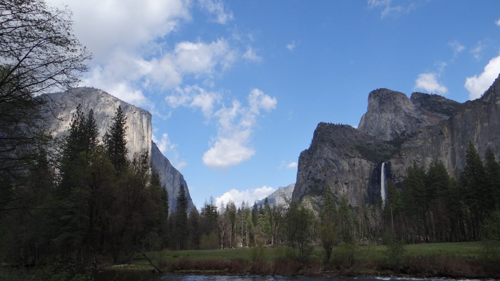
So the day after we tried Yosemite again as the forecast looked good, and sure enough it turned out to be a lovely day and Yosemite didn’t disappoint. Now, I am at this point going to have to apologise as this post is going to get really picture heavy, as no amount of words are going to explain this magnificent place. Wherever you looked stunning views, vistas and ……… so here goes.
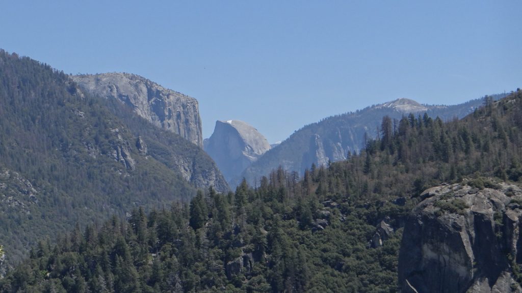
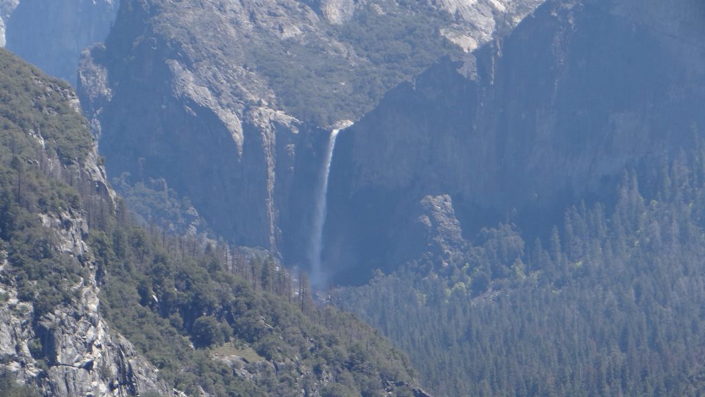
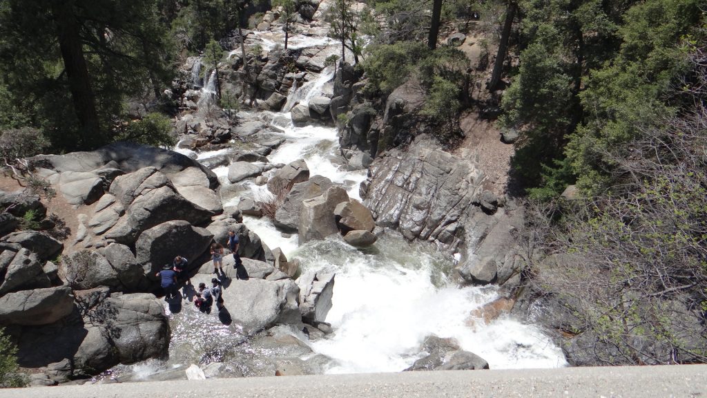
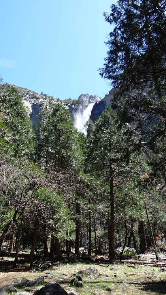
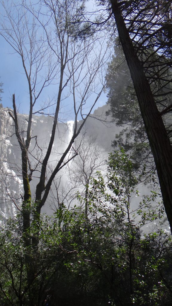
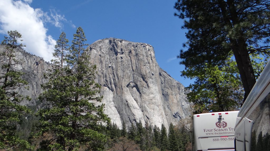
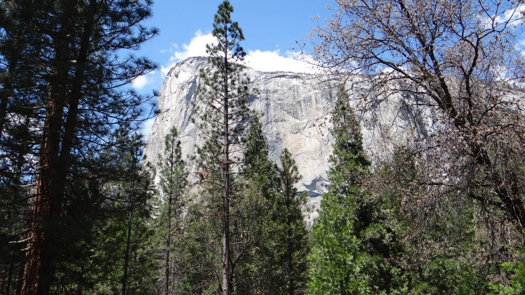
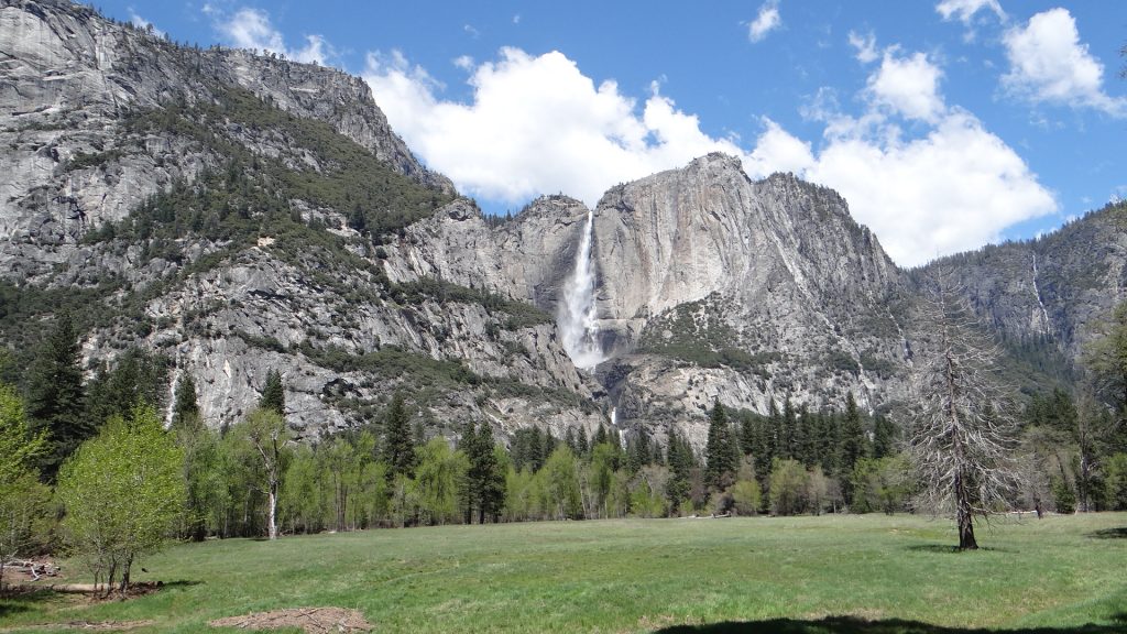
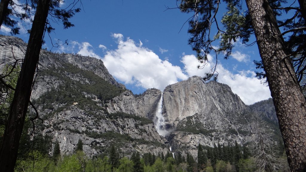
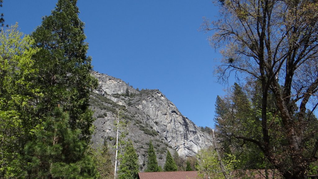
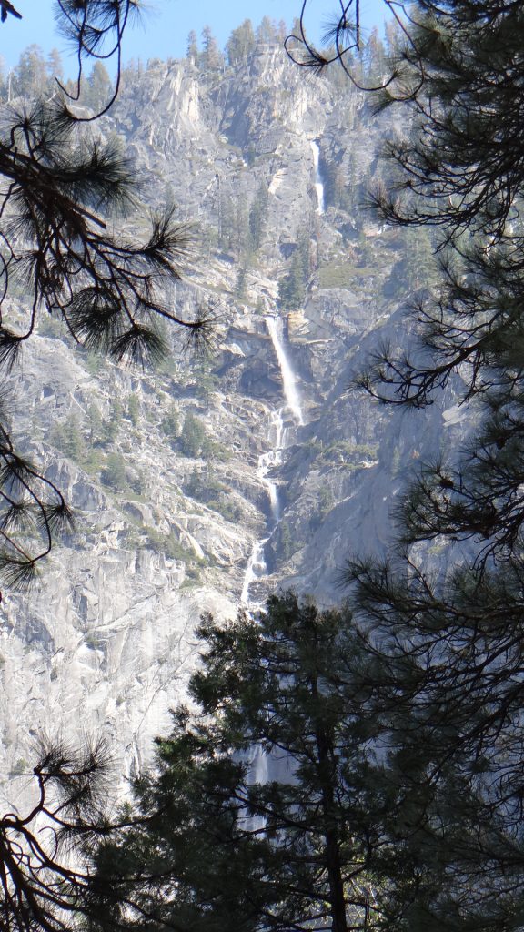
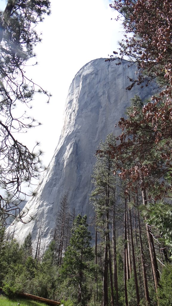
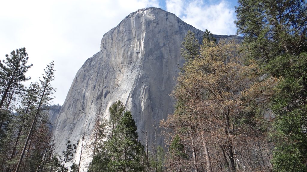
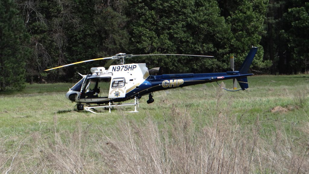
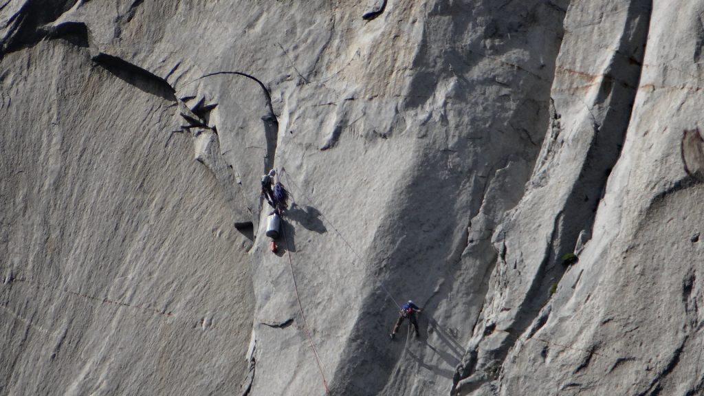
The entrance sign.Almost the same place as two days ago, but a world of difference in the weather.Half Dome in the distance, nearly there.Bridalveil falls from a distanceCascade Creek Falls on the way to the valley, above the road.And below the road.Bridalveil Falls, getting closer.And closer.And finally almost underneath getting soaked!!El Capitan. The road into, and out of Yosemite, goes in a one way loop, so this was taken from the road farthest away.Looking back at Bridalveil falls.El Capitan again.Yosemite falls photographed across a lovely meadow.Same falls close up.And a wide angle view.Falls from a wooden bridge across a river that had trout in it. A very peaceful place.Getting closer to Half Dome at the end of the valley. Even though it is called Half Dome geologists do not believe it was ever a full dome.Closer still.Snow on top of the Dome.Yosemite falls on the way back, close to the Visitor Centre.Granite rock peaks behind the Visitor Centre (that’s its roof).A view back down the absolutely stunning valley.One of the many smaller falls.El Capitan closer up. A sheer cliff that rises to 3,000ft above the valley floor. Remember that finger of rock half way up.A bit further round showing both facesA rescue helicopter. This was called out because there were 8 (yes 8!!) climbers on the face of El Capitan that day and one of them had fallen about halfway up the climb just above that finger of rock. When he fell he broke his ankle, so his partner was now trying to get him and all their kit back to the ground. Bear in mind they started at 8am and this picture was taken about 2.45pm, so it was touch and go.And this was another group of 3 climbers at about 2.45pm. You see that big bag under the top climber, it contains a larger balcony structure that just before it gets dark they fix to the sheer face and they sleep on it overnight so they can start again next morning. All I can say is rather them than me!!Bridalveil falls from the other side of the valley.Looking back down the valley, El Capitan on the left and Bridalveil Falls on the right.Leaving this most magnificent place was rather sad but the wonders continued with a picture of the river leaving the valley.
As I said when I started, words cannot really describe it but I hope my pictures have given you an idea of what it is like. And if you ever get the chance to visit it yourself you will NOT be disappointed.
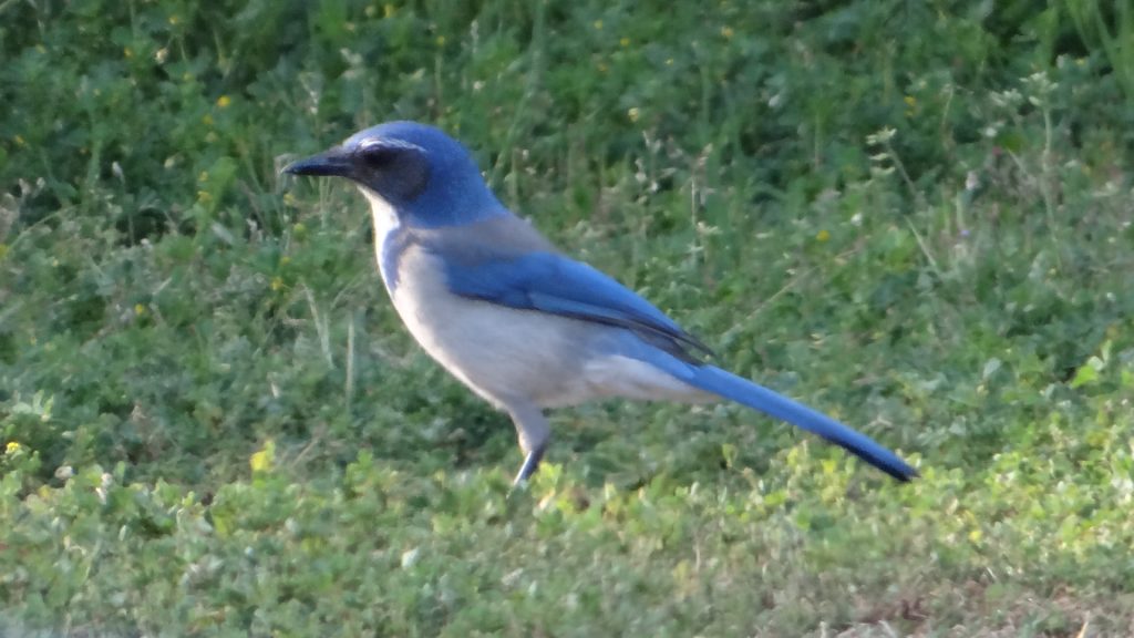
Back at the campground I finally got a picture of a blue scrub jay. There was quite a lot at the campground and they are a beautiful blue.
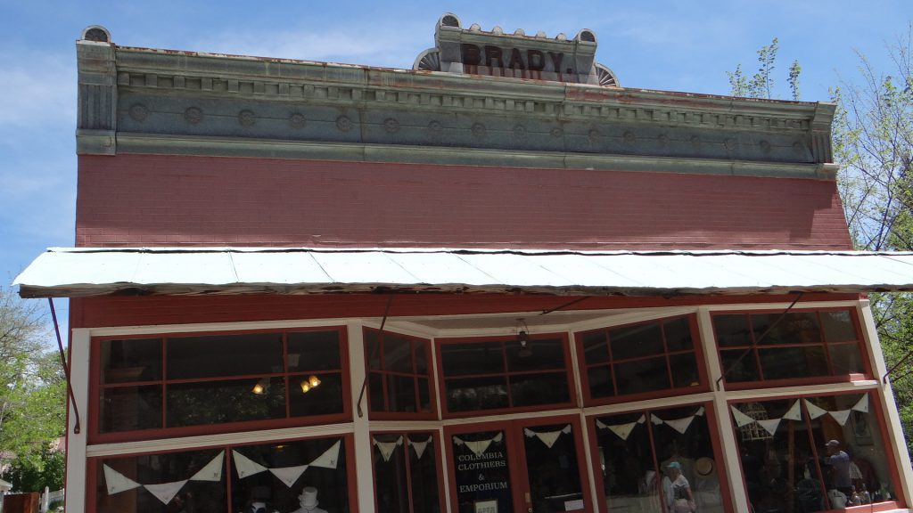
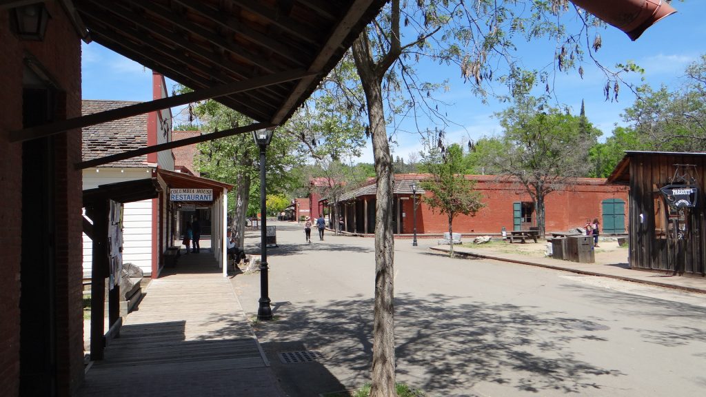
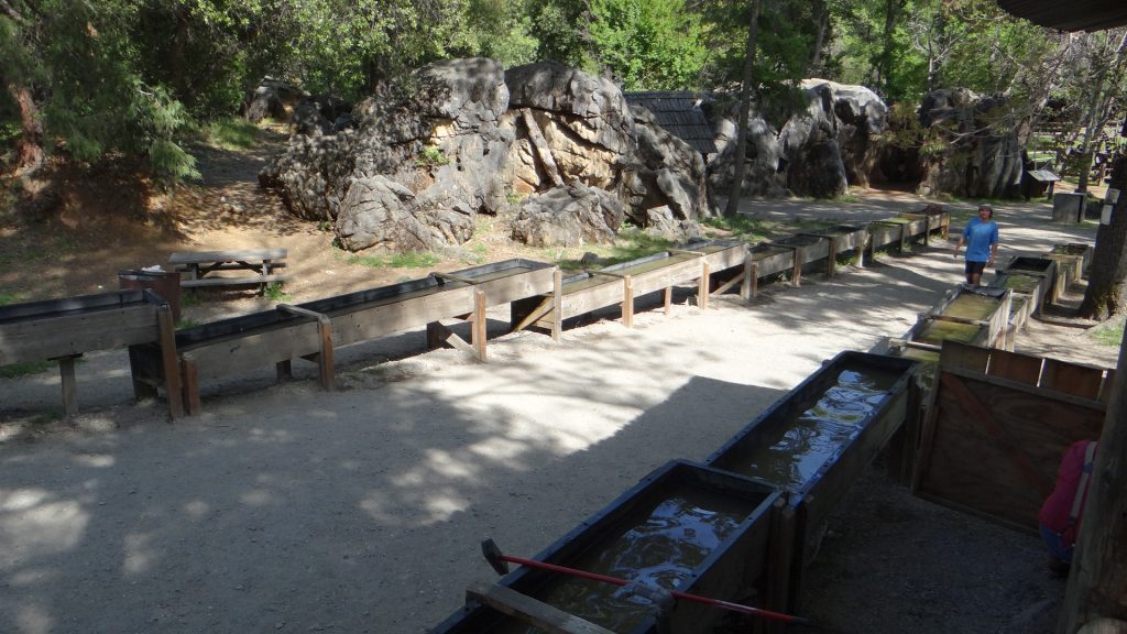
Our last day was spent touring Columbia Old Town State park. This town has been preserved much as it was in the heyday of the Californian Gold Rush. Here though they used hydraulic mining, using high pressure hoses to wash all the mud and sediment into the gold sluices. Between 1850 to 1870 they reckon over a billion dollars of gold was found and at one time Columbia was the second largest town in California.
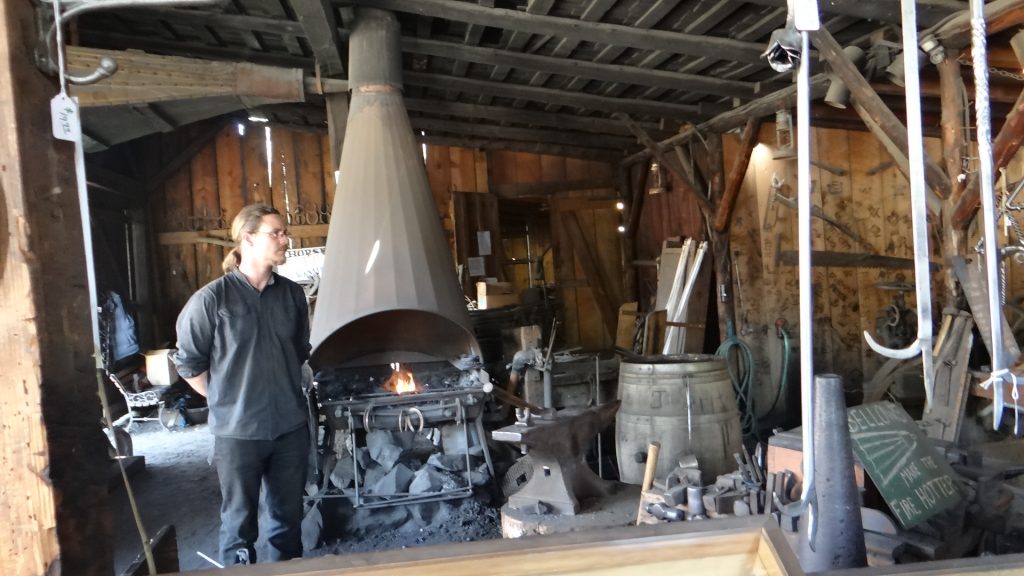
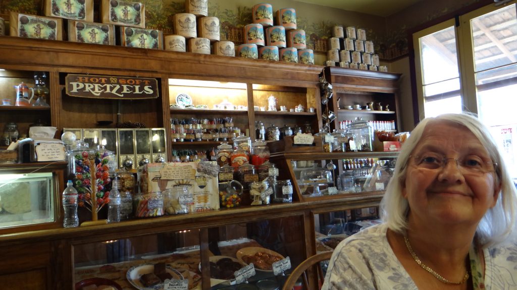
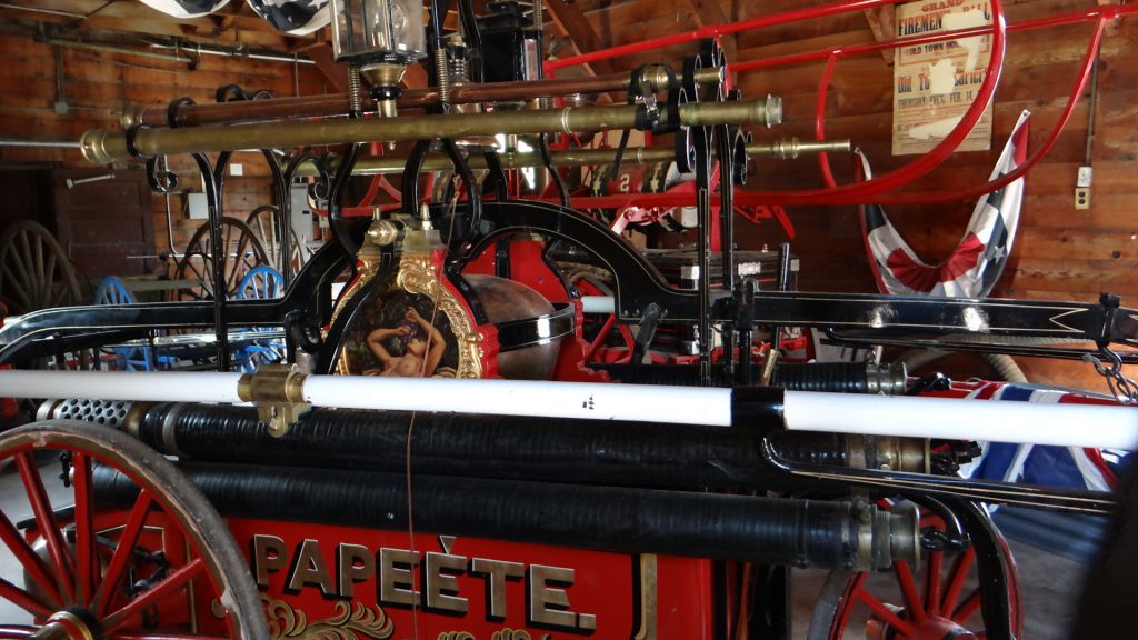
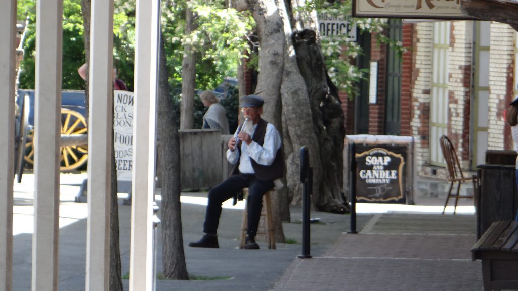
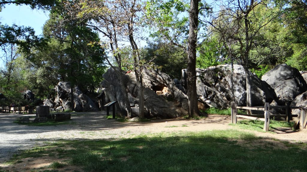
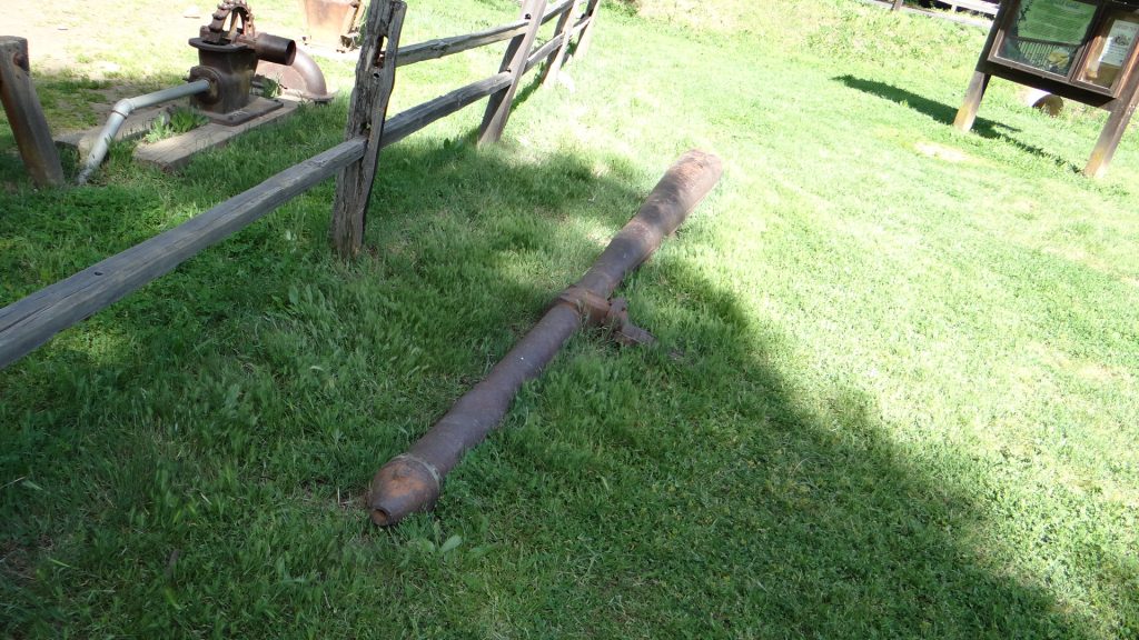
You can take a stagecoach ride around the town.Brady the haberdashery.Main StreetThe blacksmiths.Coffee and chocolate brownies in the old coffee shop.The hand pumping fire engines.Another view of Main St.Penny whistle player. Lots of people in costume all over the place.The gold sluices.We were puzzled when we were driving in why the entire countryside for miles around Columbia had loads of exposed rocks like this. This is, of course, what you get when you wash all the soil and sediment into the sluices with powerful hydraulic monitors. Imagine very high powered hoses!!A hydraulic monitor that shot the powerful jets of water at the gold diggings. Eventually this type of mining was stopped as it was too destructive and anyone downstream of the diggings suffered flooding and sediment problems.
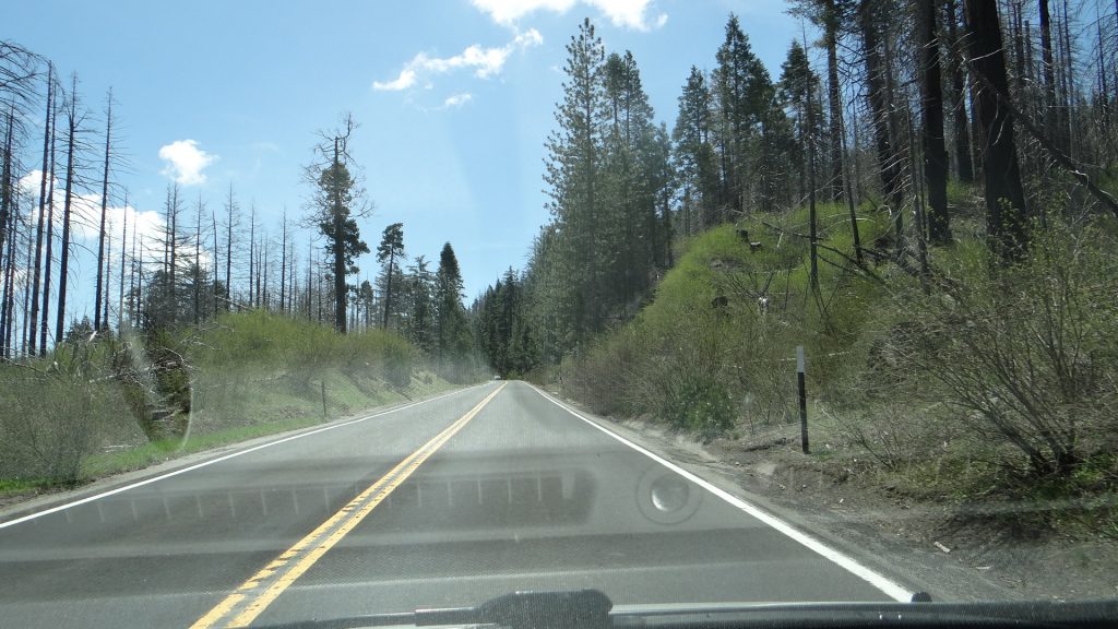
That was our last day at Yosemite, so we moved on (back down that incline!!) and further north into the northern valleys of California where almonds, olives and grapes are grown.
I have updated our RV Map but it is a bit ahead of the blog as it show our route to Bend, Oregon.
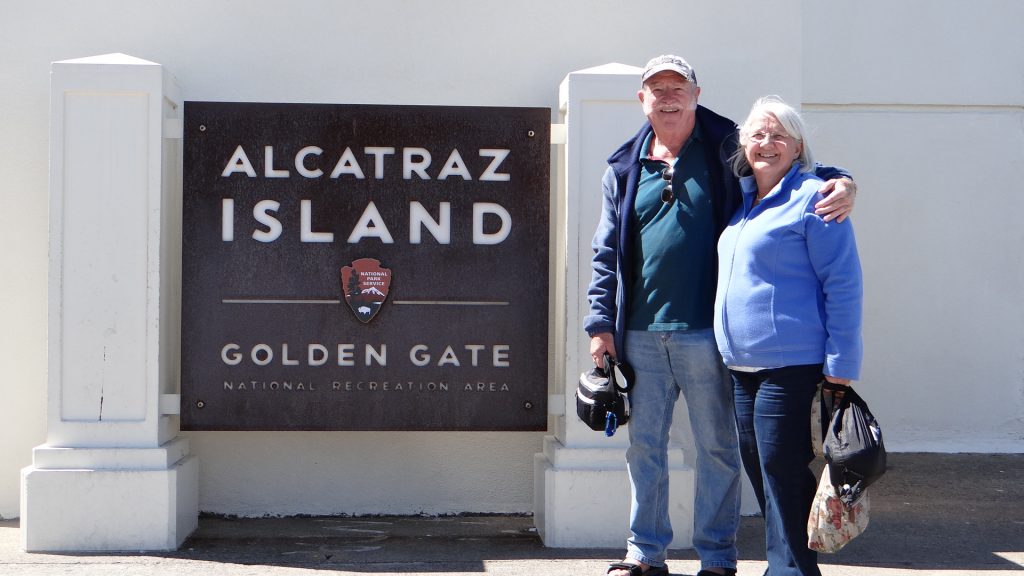
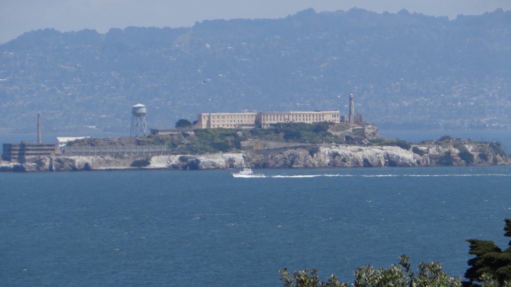
Arrived in San Francisco and set up at Tradewinds RV in Vallejo in what we in England would call the “suburbs”. I had already booked us on a trip to Alcatraz at 12pm midday the next day, so needed to discover how to get there!!
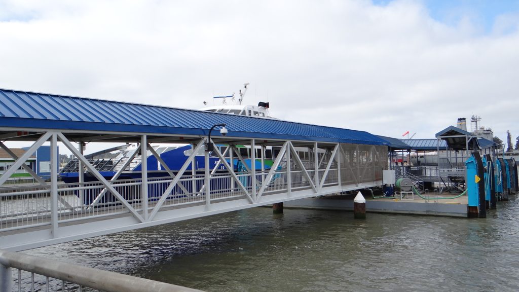
We found out that down the road about 3 miles away was the Vallejo Ferry Terminal, which had parking for $5 for the day, and the fares in and out of San Francisco were $7.50 per “senior” each way. That matched very nicely to the 25 mile drive, $10 tolls for the bridges and $25 per day parking so we decided to take the ferry as there was one at 10.00am that got in at 11.00am.
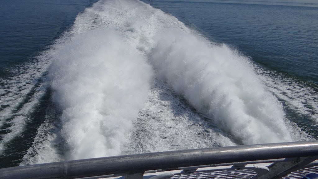
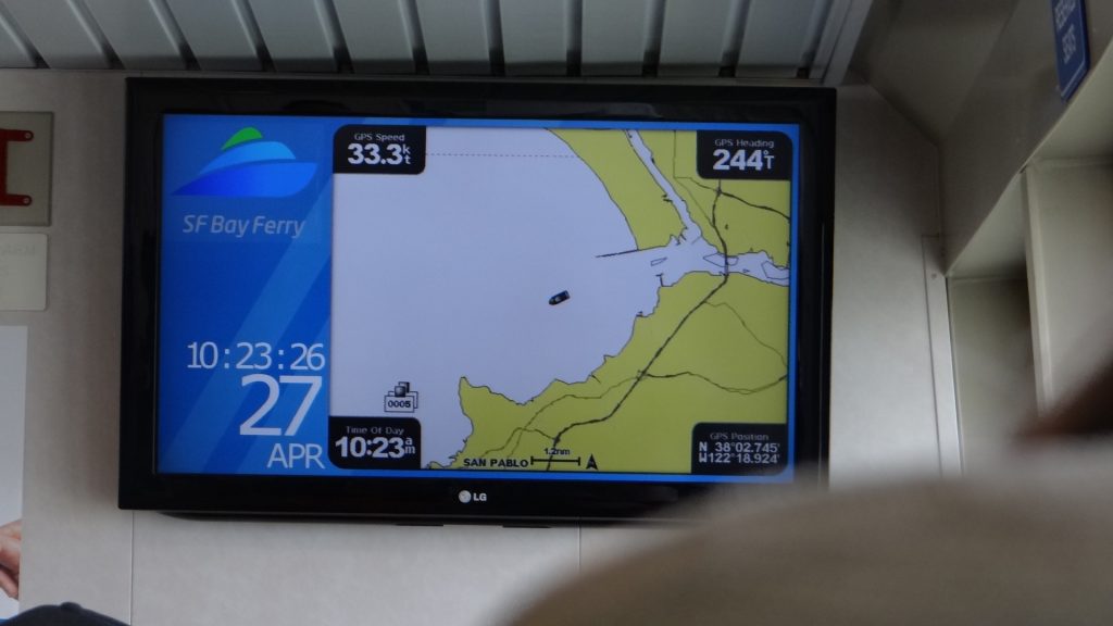
Very interesting “ferry”!! Sets off gently down the river at 8 knots and then after about 10 minutes accelerates up to 33 knots for the rest of the trip to San Francisco Ferry Terminal.
Vallejo Ferry TerminalYou can just see the double hulled ferry on the other side of the pier (sorry haven’t got a better picture).Seating on board in the upper tier.Hell of a wake at 33 knots.GPS Navigation and speed in case you didn’t believe me.
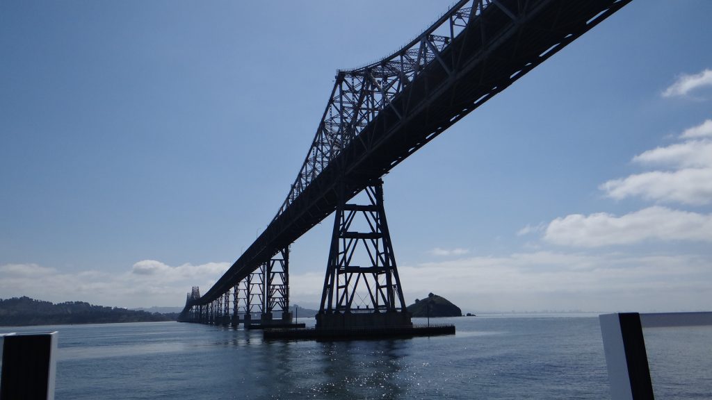
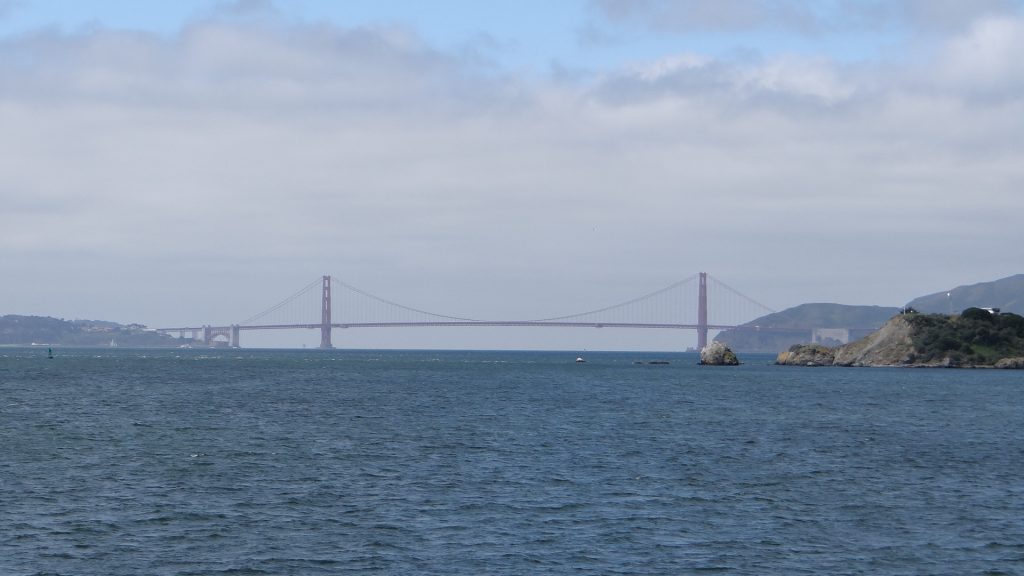
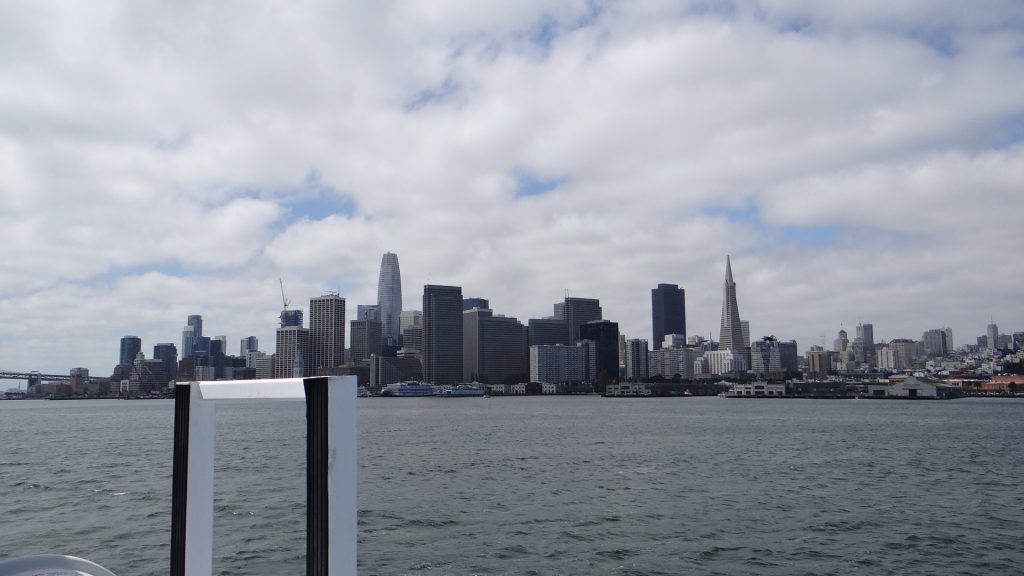
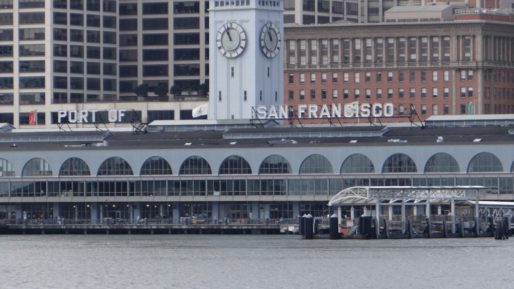
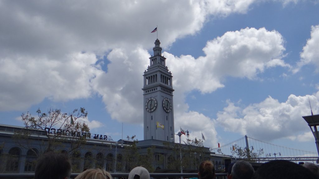
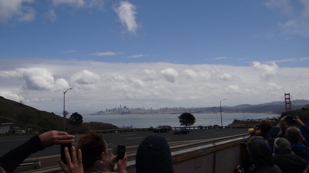
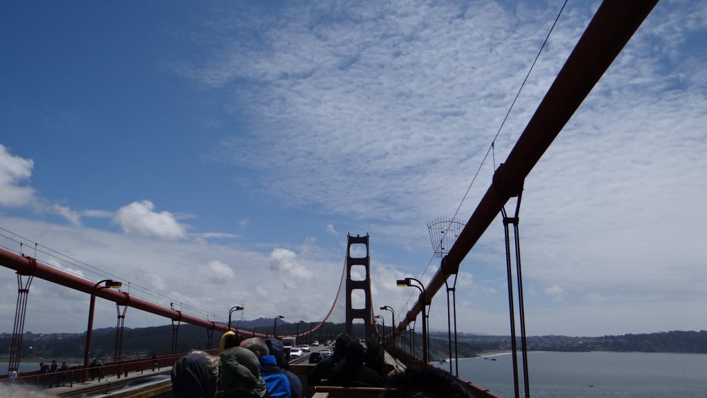
One of the many bridges around San Francisco, this the Bay Bridge, 5 miles long and dual tiered.Golden Gate Bridge from a distance.San Francisco skyline.Nearly there, 1 hour later, dead on time!!
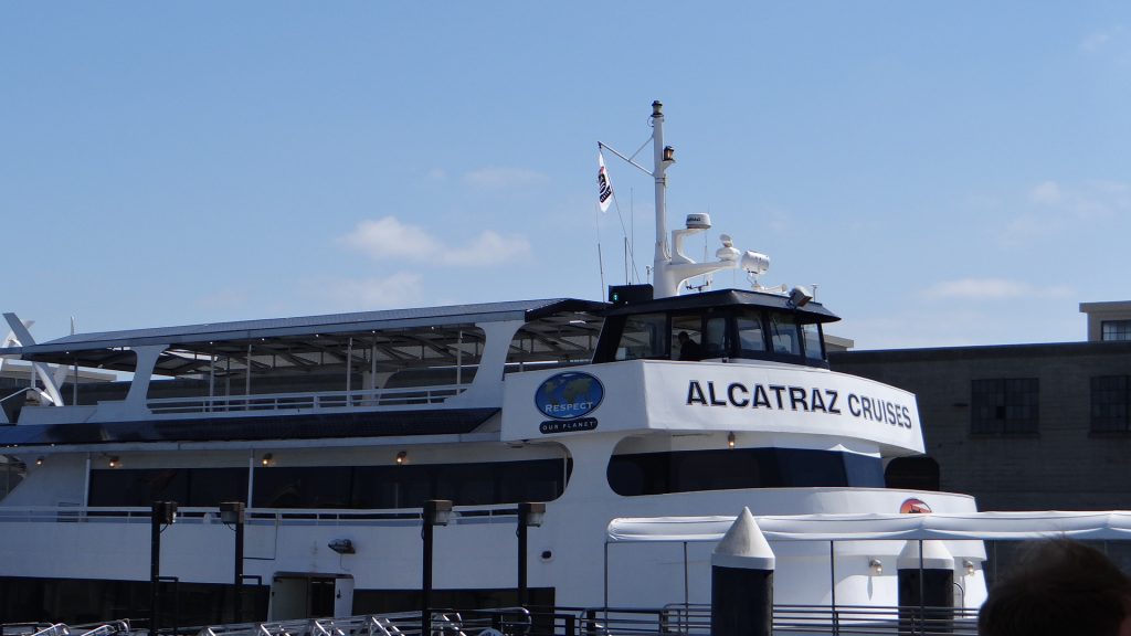
Then we walked from the Ferry Terminal to the Alcatraz Tours terminal. By the way an FYI if anyone else decides to do this. Make sure you book through the OFFICIAL Alcatraz cruise site https://www.alcatrazcruises.com/ as there are all sorts of other sites on the internet that charge you anything up to $15 extra per person to book the same trip!!.
Boarding Line, boats are every 1/2 hour.The Alcatraz “Cruise”.Alcatraz IslandDo as you are told or else!!
After you land as it is a National Parks Service site your ferry is greeted by a National Parks Ranger that tells you all the rules for your visit and then “enjoy yourselves”.
I have chosen a few pictures to try and do Alcatraz justice, but if you get the chance do it yourself it is well worth it and my pictures cannot show everything we saw.
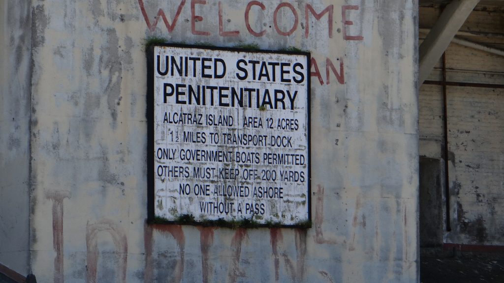
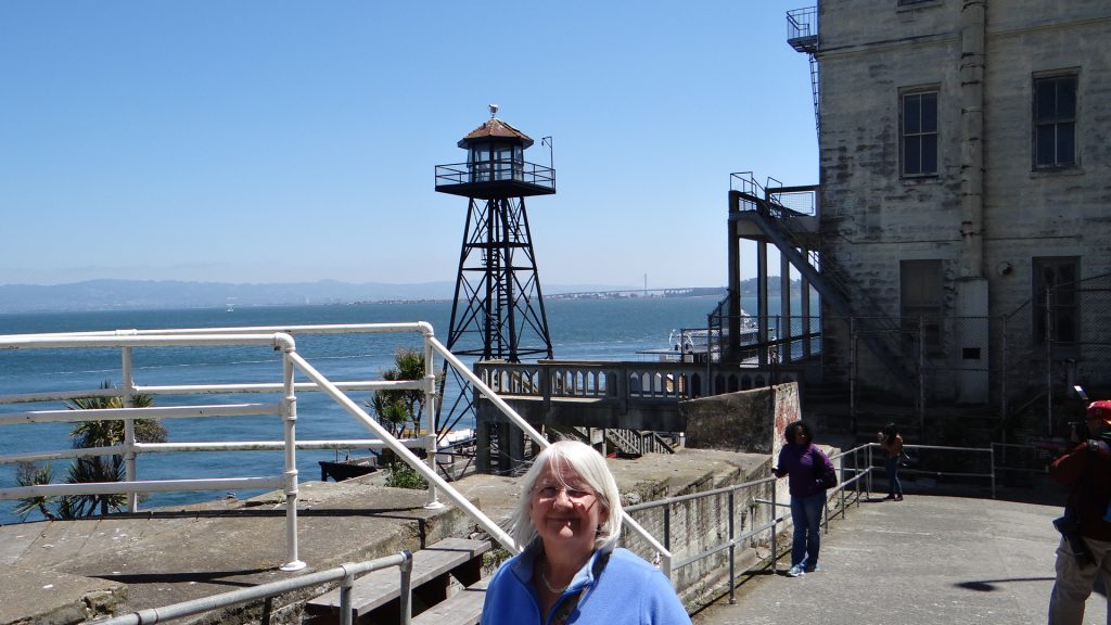
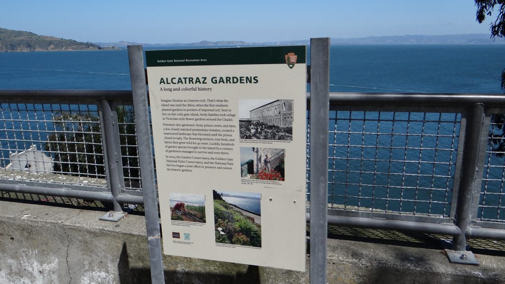
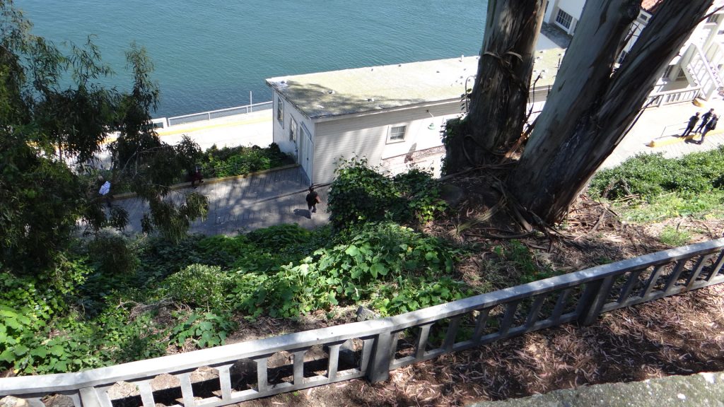
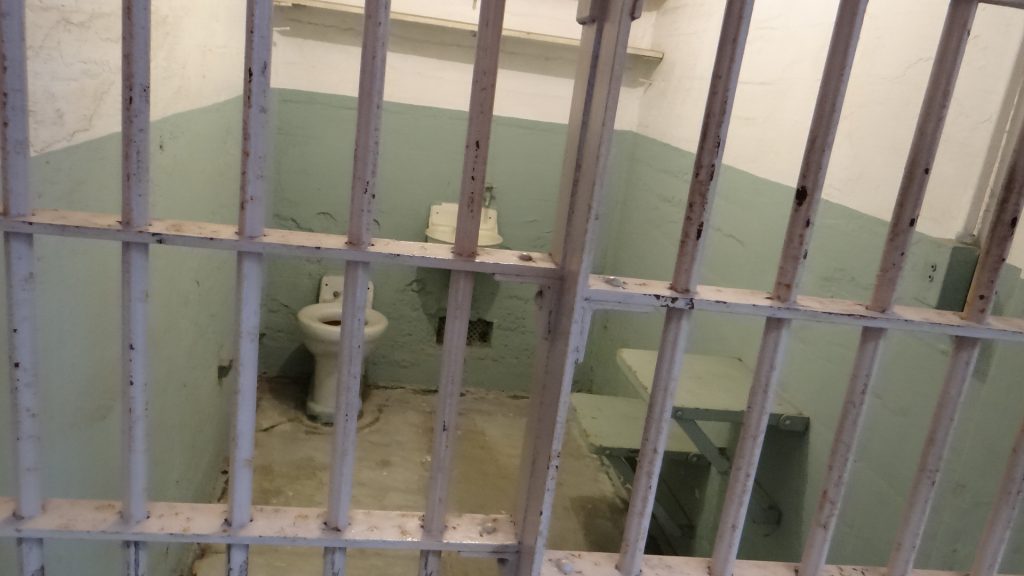
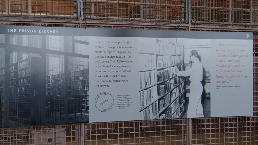
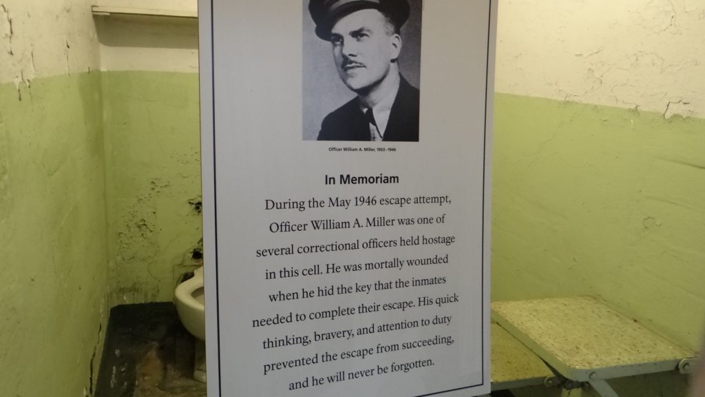
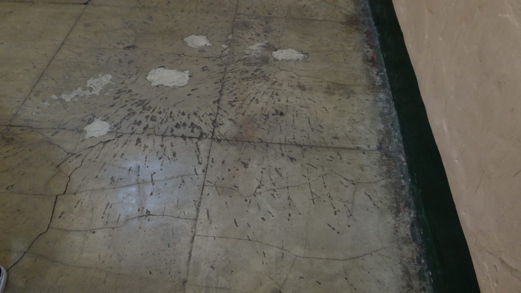
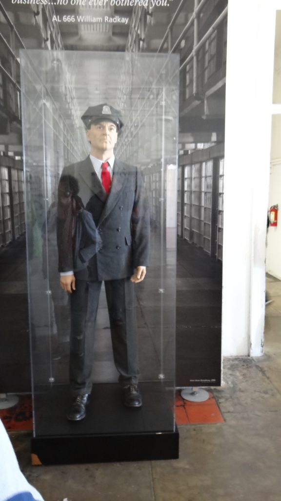
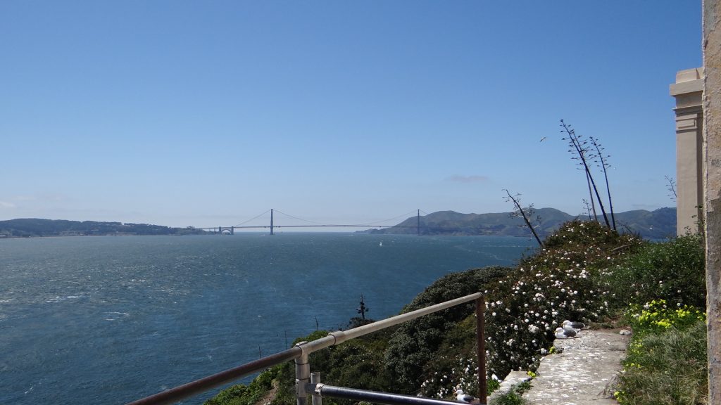
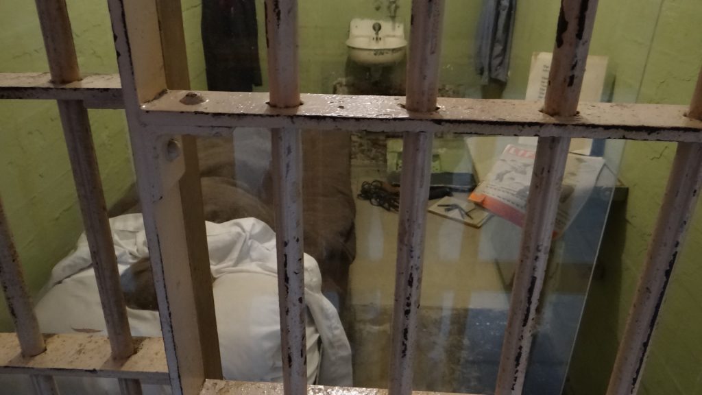
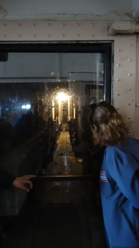
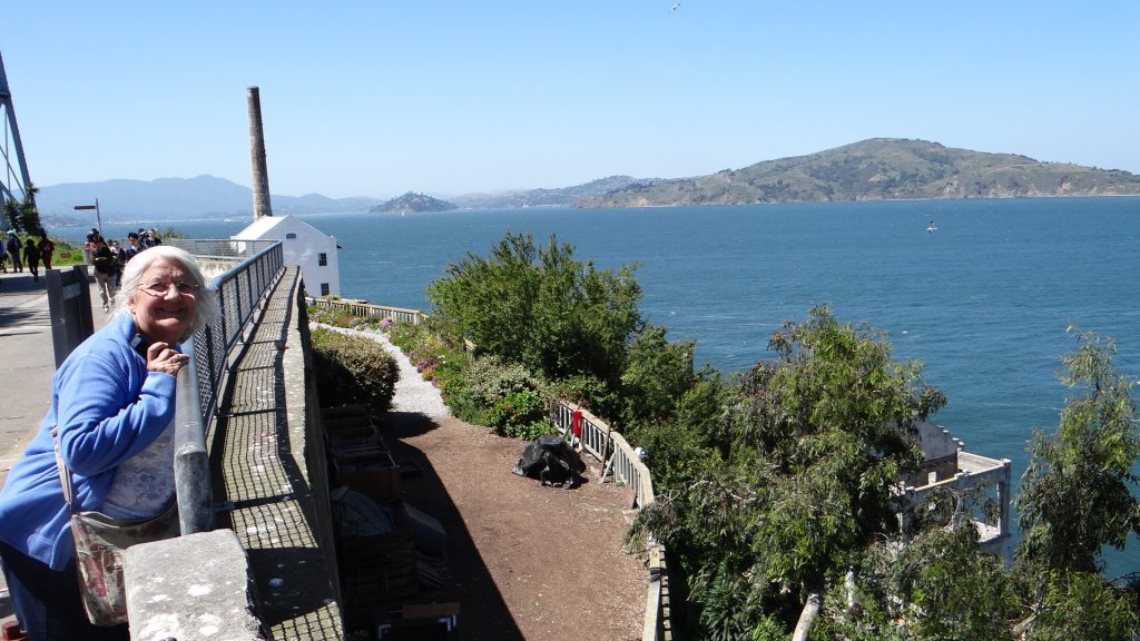
Just in case you didn’t realise what the purpose of Alcatraz was.A guard watchtower and someone being watched!!The permanent warder staff on the island had gardens.The gardens terraced along the hillside.A typical cell, not very salubrious!!The library, a perk for the inmates who were good!!A warder that was killed when four prisoners tried to escape, holding warders hostage and demanding their keys. This guy refused!!The marks in the floor are caused by grenade fragments after US Marines stormed the building to stop the attempted escape. They don’t mess around in the USA!!A typical Warders uniform.Alcatraz lighthouse.Golden Gate bridge from Alcatraz.One of the cells where 3 prisoners used dummy heads to fool the warders, made famous by the film “Escape from Alcatraz” starring Clint Eastwood.The services duct they climbed up to the roof.One of the terraces looking over the Alcatraz gardens, and it also shows the steep climb.Two visitorsBack in San Francisco.
We returned to main ferry terminal and caught the 5.15pm ferry back to Vallejo.
The next day we did the same ferry trip but this time stayed on it as we hadn’t realised that it docked at the main ferry terminal and then hopped down to Pier 41, which would have saved us the walk!!
Then we did our usual thing and bought a Hop On Hop Off Bus San Francisco tour for 2 days. We did the complete 2.5 hour trip first to suss everything out.
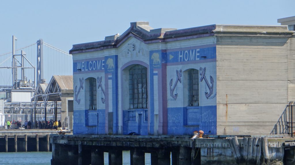
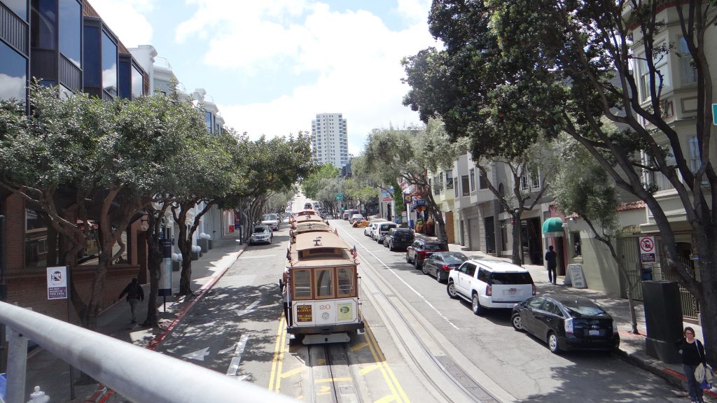
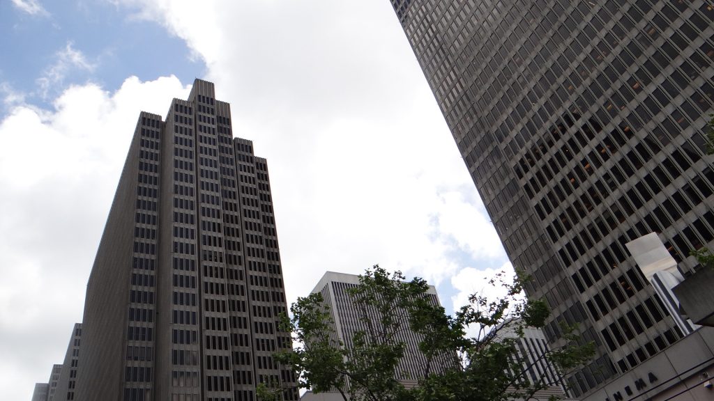
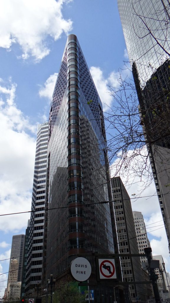
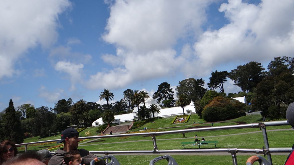
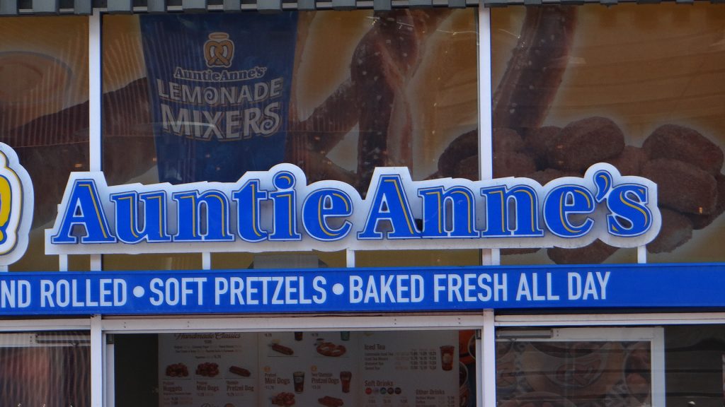
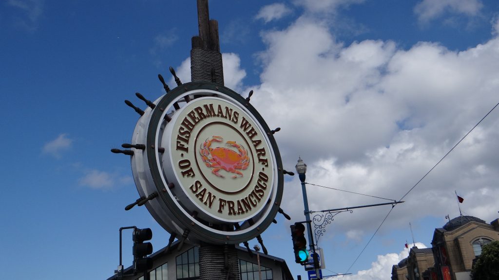
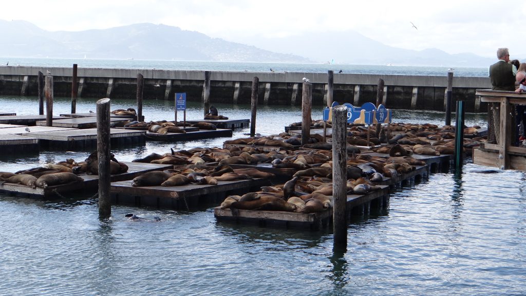
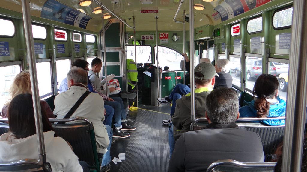
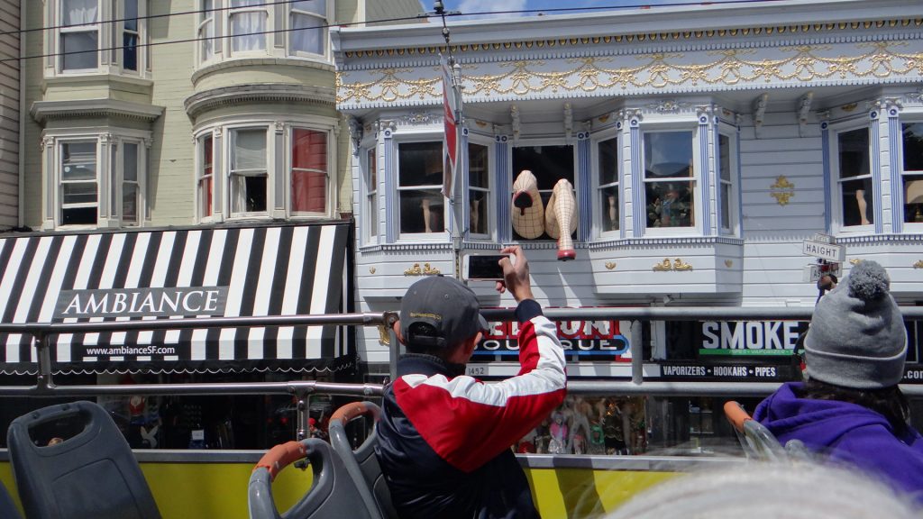
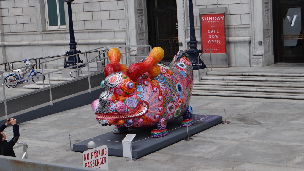
San Francisco electric trolley carsPicture speaks for itself!!Tallest building.Main Ferry Terminal from the other side.If you have corner lot how do you build on it? Simply build a triangle!! The offices in the point must be cramped.Church window.Closer to the bridge!!Alcatraz from the bus.San Francisco version of the Kew glass houses.Older houses “Victorian” that survived the 1906 fire.More survivorsCity Hall. It is complete isolated from the ground on gimbals, so it will survive an earthquake.This the gate that the prisoner railcars boarded the ferry which also had tracks, and unloaded to tracks on the island. Thus the prisoners never had to leave the train.Anne’s shop.The famous Fisherman’s Wharf.Sea Lions at Pier 39. No one know why they adopted this Pier, they just turned up!!Riding back to Ferry Terminal on an electric trolleybus.
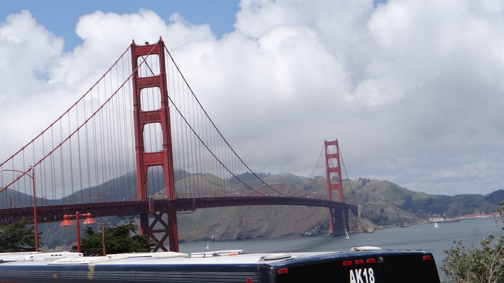
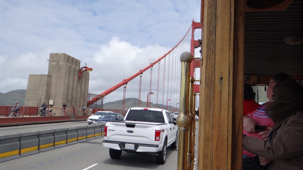
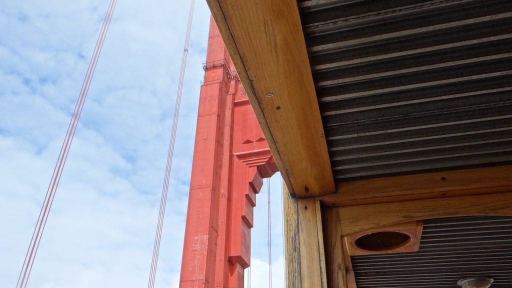
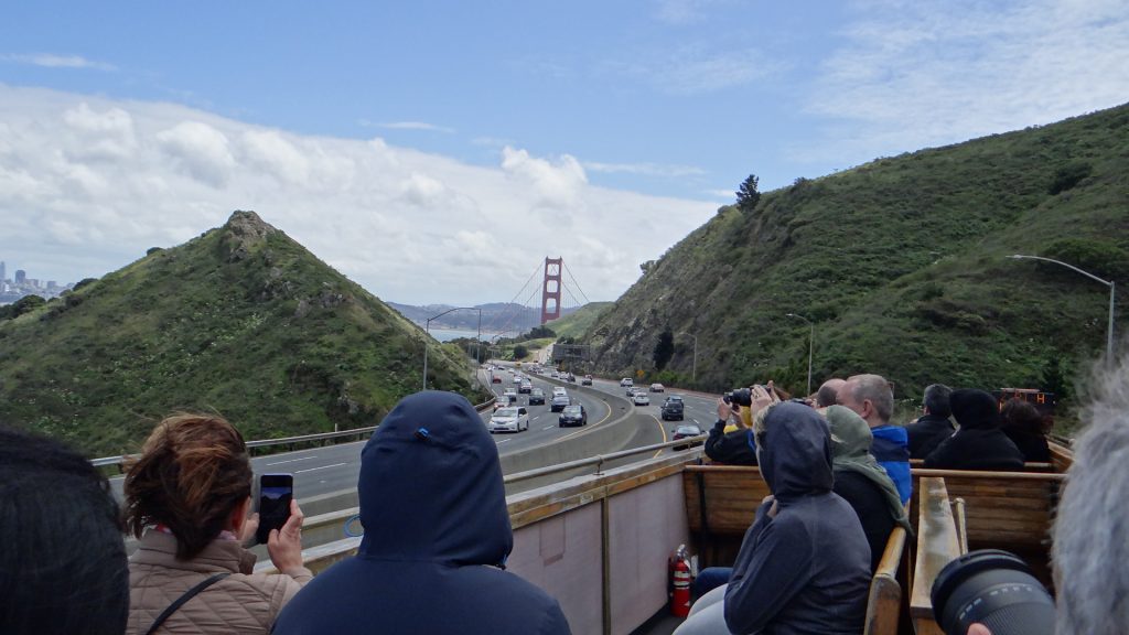
On our second day we decided to go all the way to Golden Gate bridge and take the bus that went across the bridge and then went through the “city” of Sausalito and then back across the bridge. We also drove the Spark in as it was Saturday and the ferry only had four sailings back and forth.
A pair of legs I wasn’t quick enough getting on the previous day.We’re off across the Golden Gate bridge. Glad I am not driving, traffic is horrendous!!One of the bridge casements, not a very good picture as I was downstairs going this way across the bridge, there was no room upstairs!!Cyclists!!Sausalito with houses on stilts built up the hill, hope they have got the earthquake calculations right!!San Francisco on the way back, got on the top this time!!Bridge Ahoy!! I felt silly, there is me in a polo shirt and shorts and all the Americans have thick coats and hoodies on!!
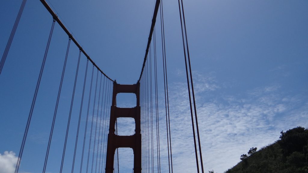
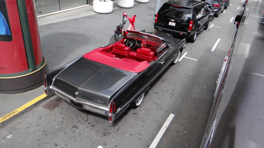
Nearly there.This thing is huge and why isn’t it painted Gold!!Nearly halfway across.Outside City Hall not sure why.Old convertible Cadillac, lovely red leather.Entrance to Chinatown.In the restaurant in the evening.View out of the restaurant window.
And the next day was …., breathe and take a rest although we had to do the laundry, clean the RV inside and out, and check the oil (engine and generator) and all the mundane tasks that go with driving an RV!!
It is amazing how when one lives a lifestyle that you forget that other people may not know the vernacular you are using!! For instance I was asked “what is a KOA?”. Never occurred to me that people wouldn’t know. Well it stands for “Kampgrounds of America”, not quite sure why it is not COA but it could be that name was already registered!!
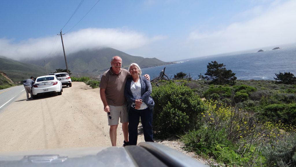
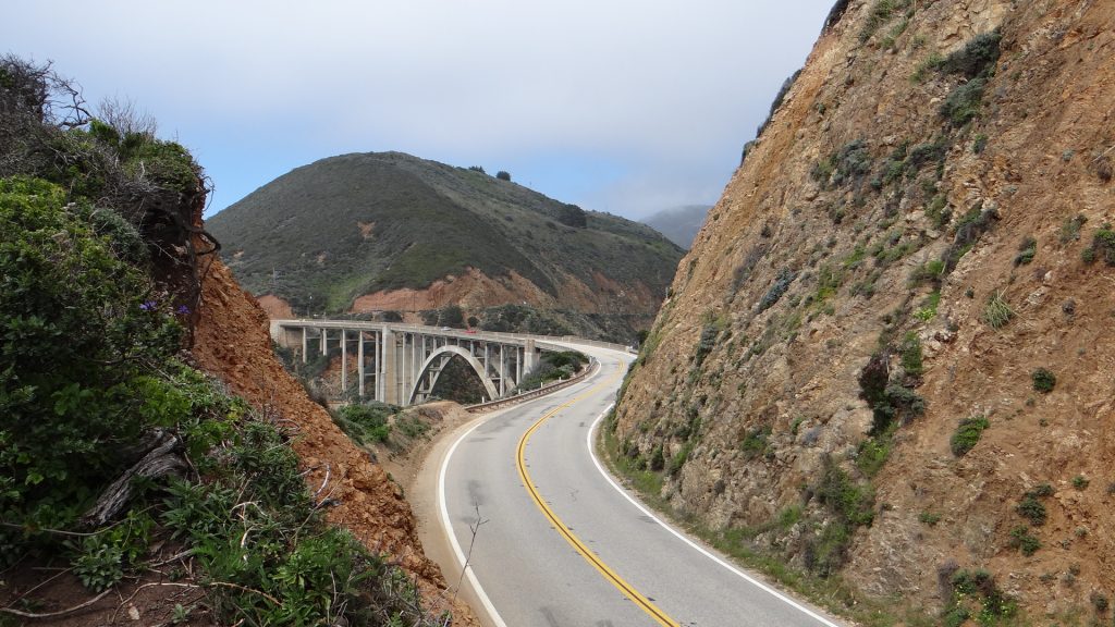
We left the National Parks and headed west to a place called Greenfield, which is midway between Monterey and Paso Robles on RT101. We needed to access the North and South of RT1, the Pacific Highway, but it is closed in the middle near Gorda because of a landslide that took out 1/2 mile of road.
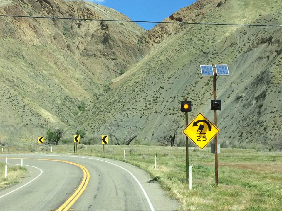
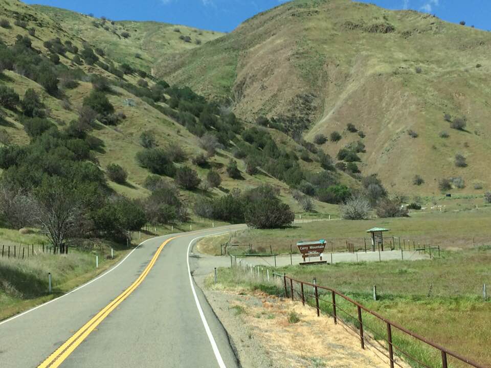
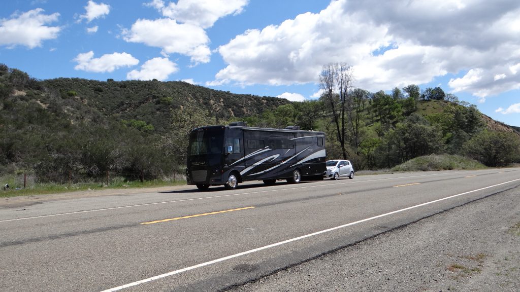
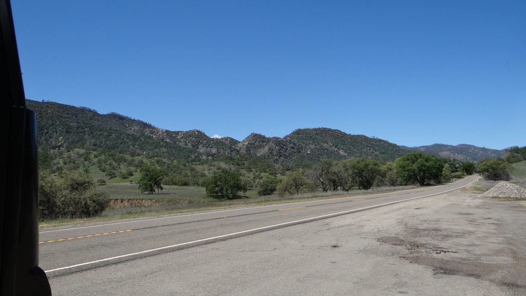
The drive to Yanks RV Resort was very interesting indeed. I decided to use a California highway (CA198) all the way, but there were warnings that some of the bends were a bit twisty and some of the grades could be steep. As it turned out it was a lovely drive along what was classified as a Scenic Route and there were far bigger lorries than our RV using it.
Don’t go too fast around the corner you may topple over!!This is a narrow road in the USA. Looks like a UK A road!!Quite hilly!!Parked up half way along CA198.Beautiful scenery.Must have a cup of tea to calm the nerves!!
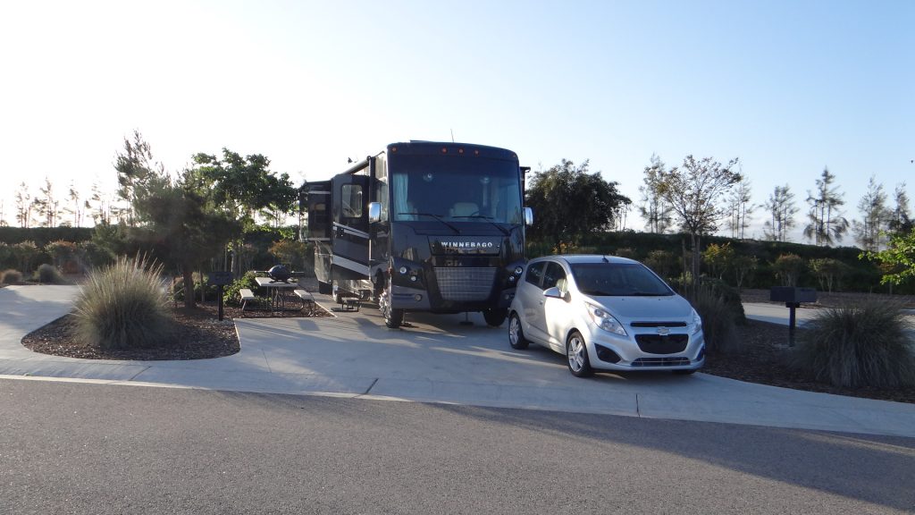
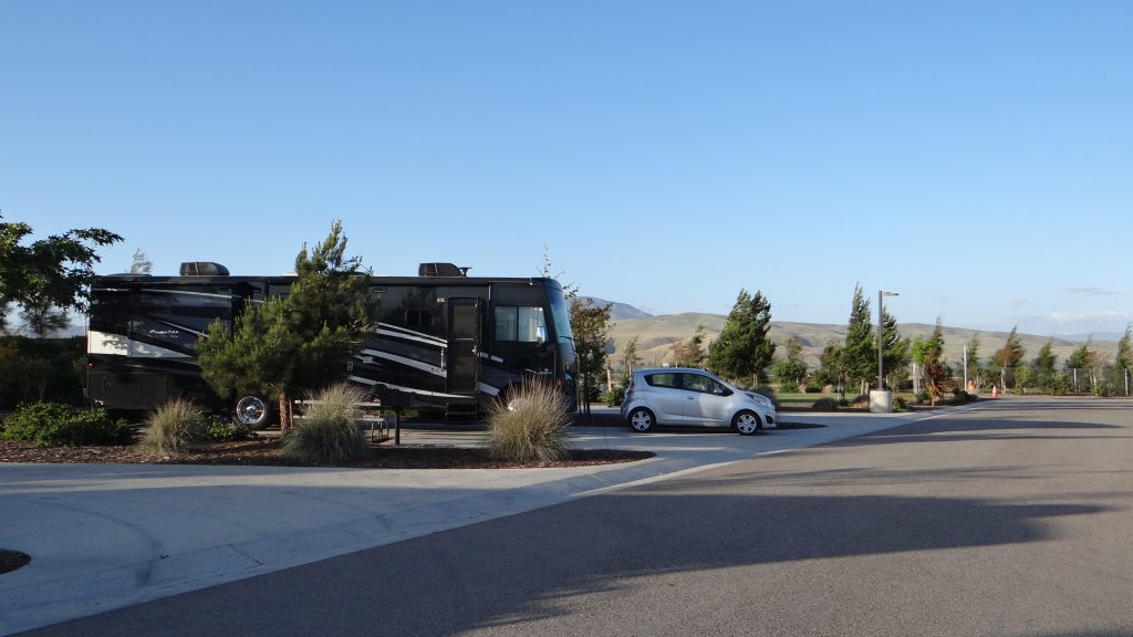
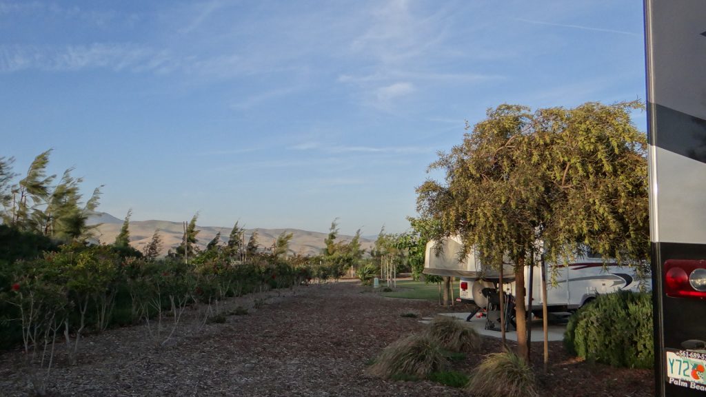
Really enjoyed the drive and we arrived at Yanks RV Resort about 2.30pm and wow what a site. It is a new site with concrete pads and very nicely done landscaping.
Lovely site, with concrete pads so easy to level the RV.Beautiful views and very quiet.
Hearst Castle had to be booked so we booked it for the Saturday. We decided to investigate Monterey and the Big Sur on Friday.
Monterey was busy with the start of the Sea Otter Classic which is one of the largest cycling events in the US, but on the Friday wasn’t too bad and we got into Monterey early in the morning (note to self don’t go into Monterey Saturday/Sunday!!).
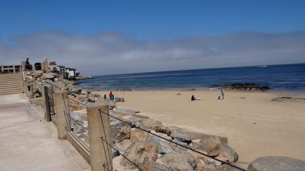
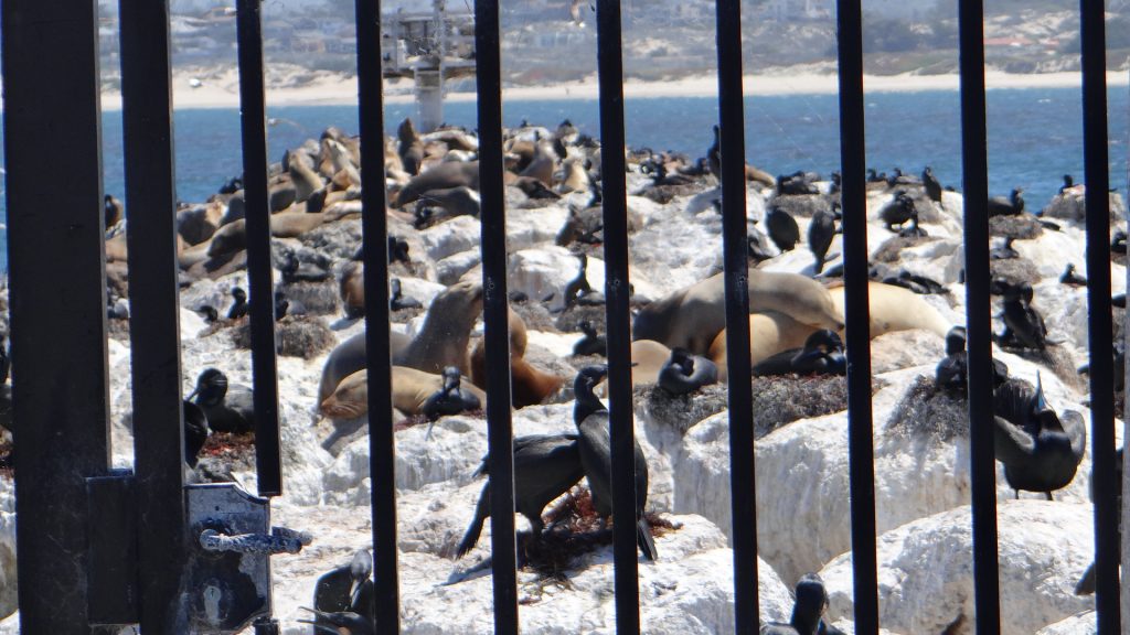
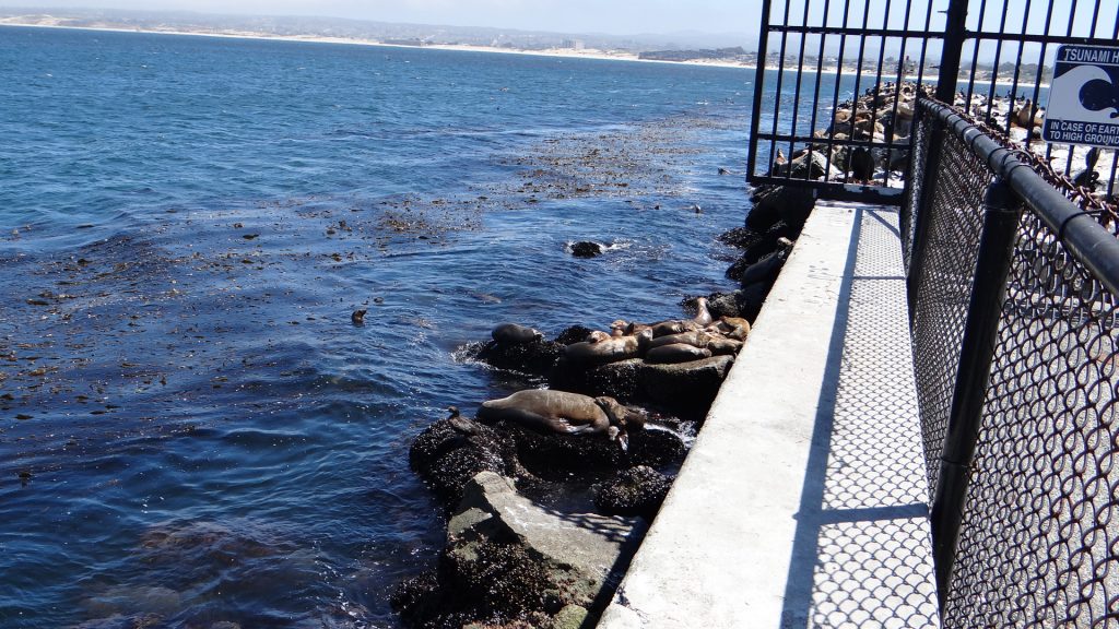
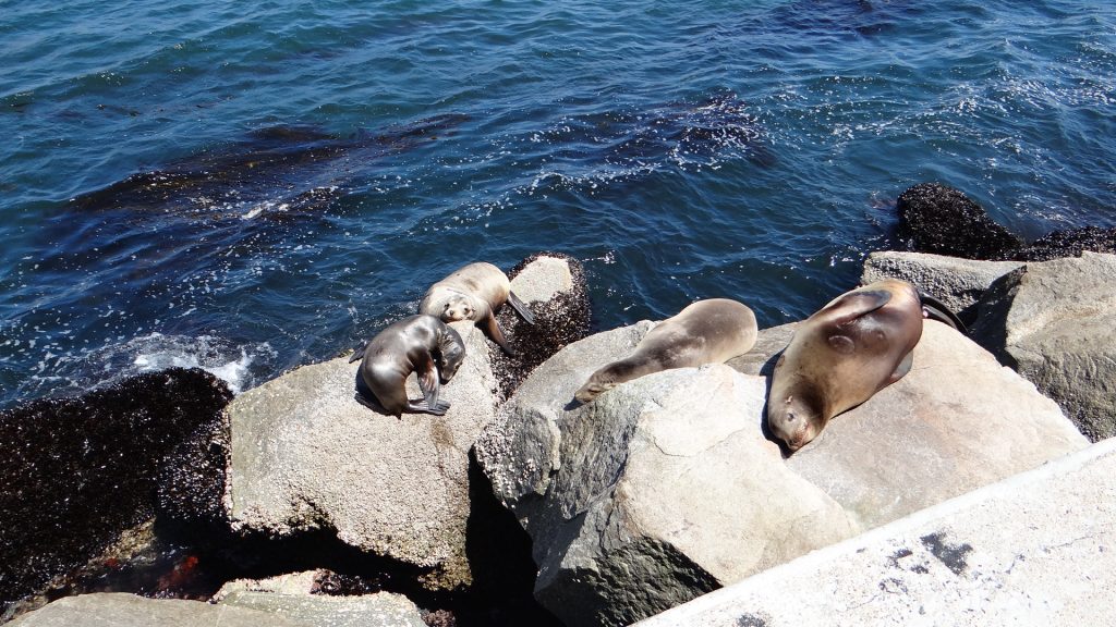
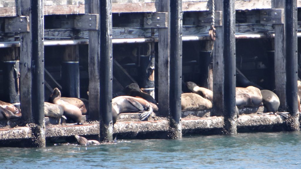
We found a meter close to San Carlos Beach which was close to the Coast Guard Pier. On the Pier, especially at the far end was a huge colony of Sea Lions and the noise was tremendous.
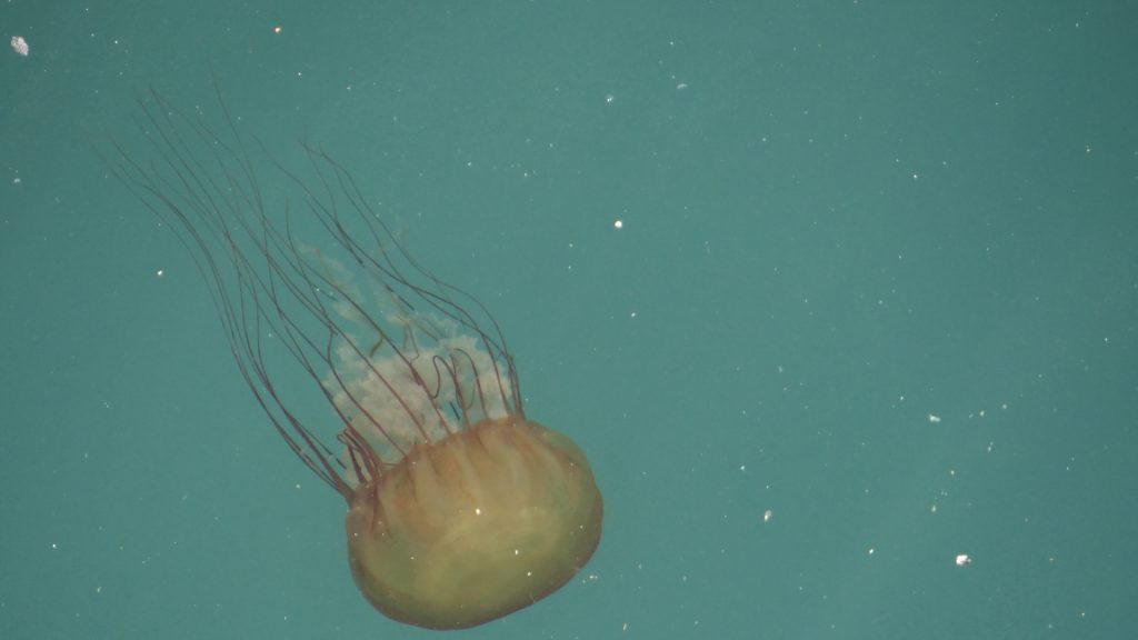
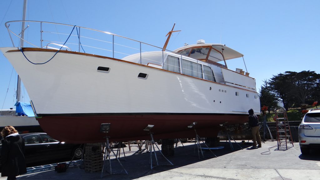
San Carlos BeachThe end of the Coast Guard Pier with the Sea Lion colony.Sea Lions on the rocks on the edge of the pier.More Sea Lions.And under the Pier. Picture taken from the Café we had coffee and a cake in.Water was very clear, here is a jellyfish.A massive 75 ton boat lift at the dock.Wouldn’t look bad moored in Burnham-on-Sea!!
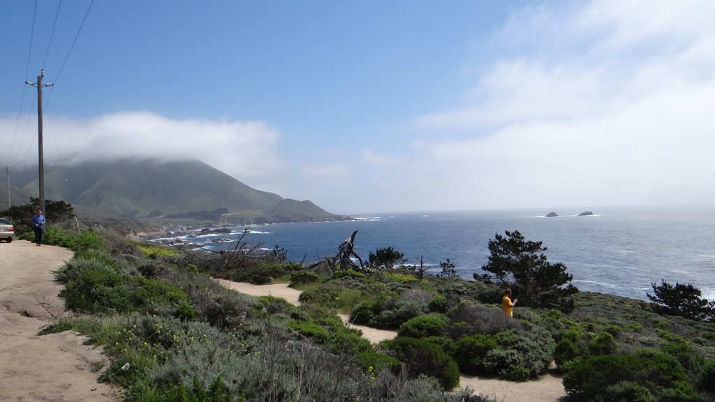
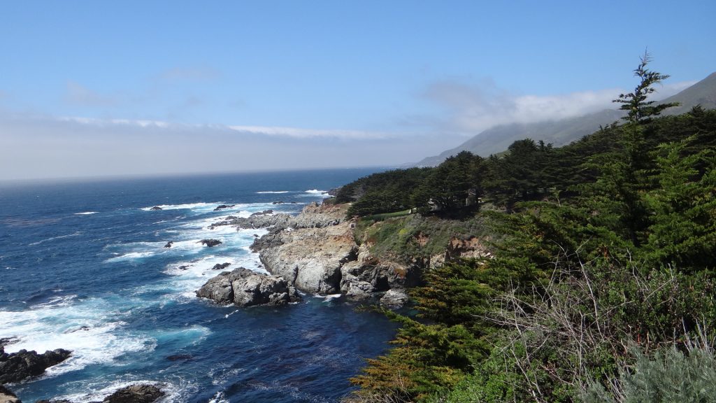
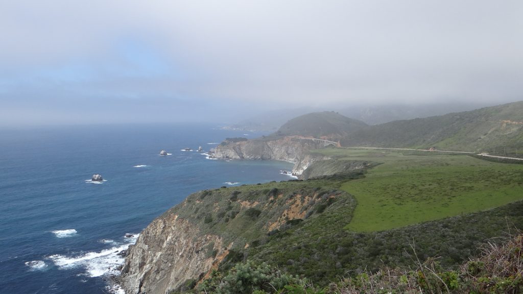
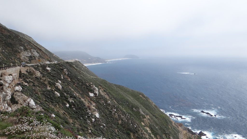
We then set off down the coast from Monterey on Route 1, the Pacific Coast Highway, to see the coastline known as the Big Sur. We didn’t quite make the bit where the road is closed but nearly did, and there were some spectacular views on the way.
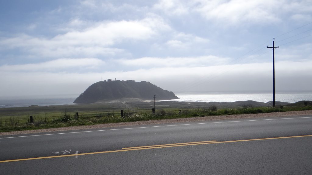
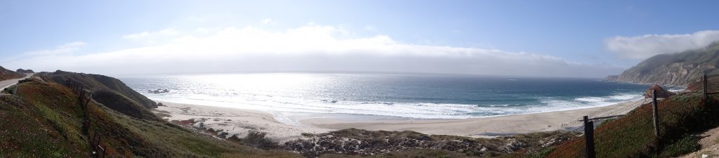
Low cloud on a headland.Camera balanced on the car!!Looks like Cornwall on a sunny day!!One of the many bridges that cross the inlets on the coast.At the top of a headland, Anne didn’t like cliff edges.High up on a cliff, notice the lack of guardrails so don’t go off the edge it is a long way down!!Point Sur lighthouse “island” (it is connected to the coast by the sandbar). The surf was crashing on the beach.Pont Sur close up showing Light House and the road to the top cut into the hill on the left. Looks a bit like St Michaels Mount, except no hotel.The farthest south we drove. The road was closed just beyond the point in the background.Panoramic view of a beach.
Beautiful drive and lots of pull-ins so you can stop and admire the views, although be careful of drivers in convertible Mustangs and Dodge Chargers who seem to use the road as race track!! Driving back with the sun setting in your face was an interesting experience, definitely needed sunglasses!!
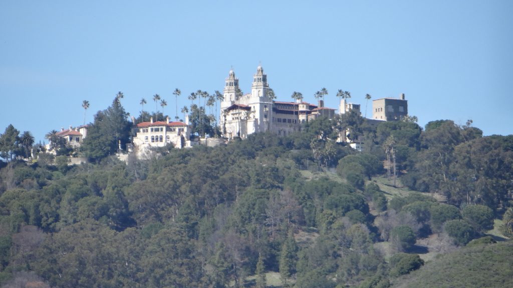
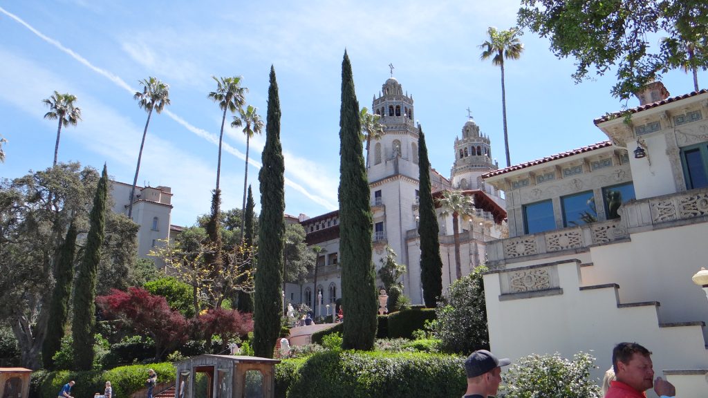
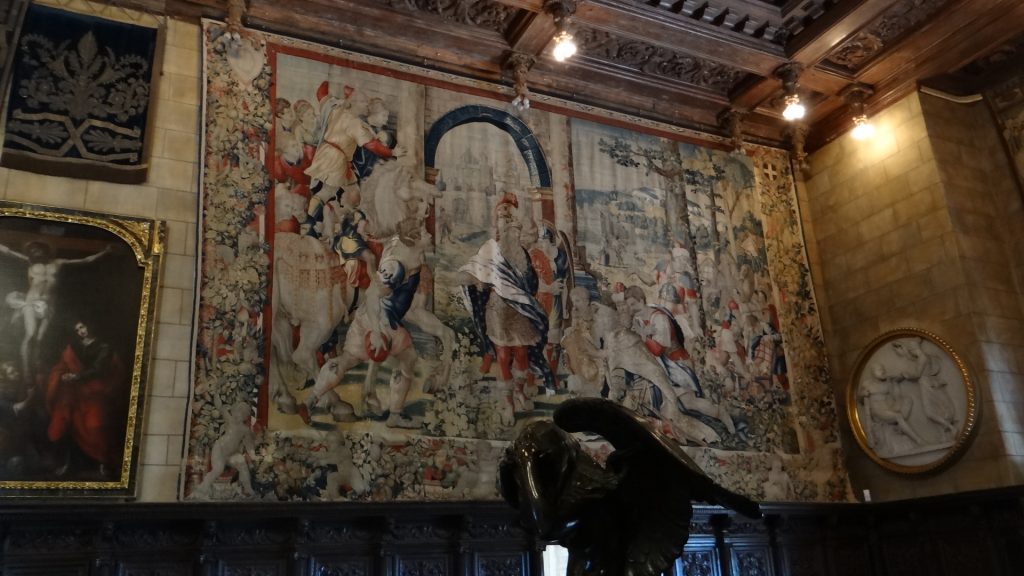
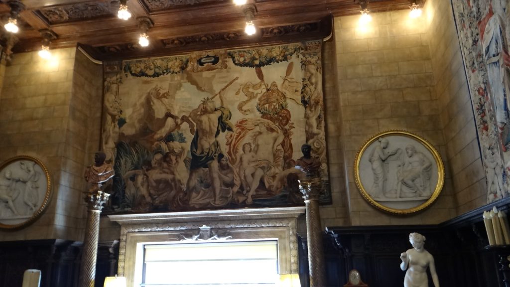
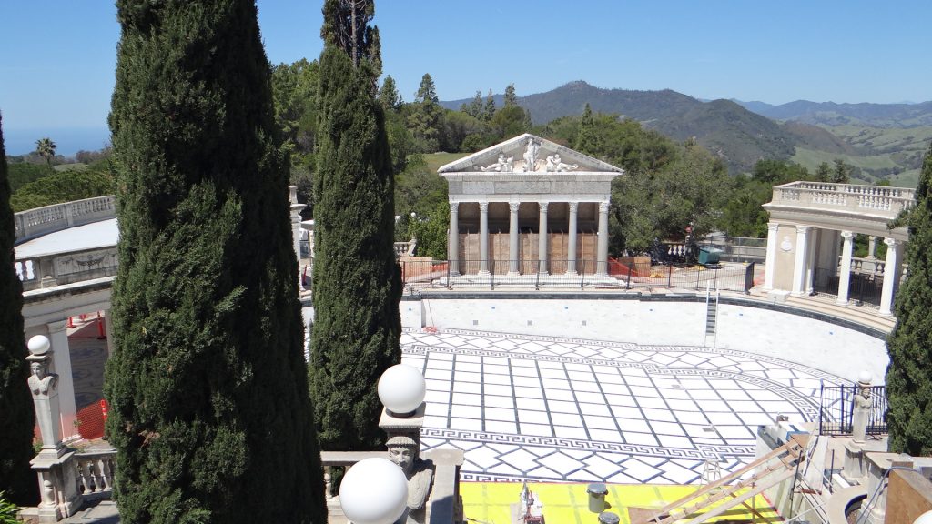
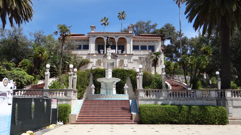
The on Saturday we went to Hearst Castle. Built by William Randolph Hearst, the newspaper magnate, with the help of his architect Julia Morgan it is a spectacular “castle” (more like a French chateau than a castle) perched on a hill with views out over the Pacific coastline. Took him 28 years to get it to its current state, but apparently he never finished his complete dream, as ill health stopped the building work. After his death in 1951, the family obviously thought it cost too much to maintain and gave it, plus some of the surrounding land, to the State of California which it is why it is a California State Park attraction. Mind you they kept the other 82,000 acres so I don’t think they are on the breadline yet!!
Hearst Castle from the bottom of the hill.
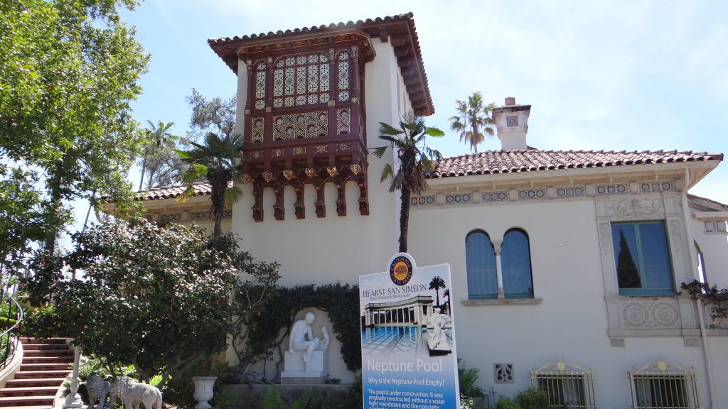
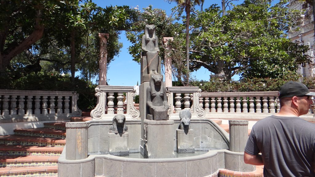
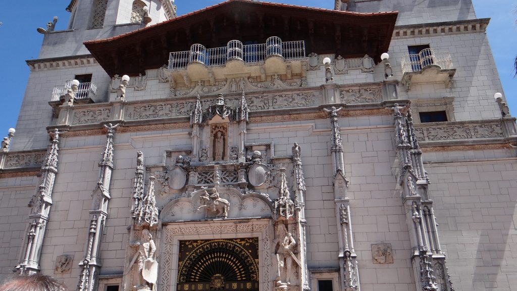
Now no amount of photos are going to do this place justice, so I am going to try to give you the essence by choosing a few from the many I took.
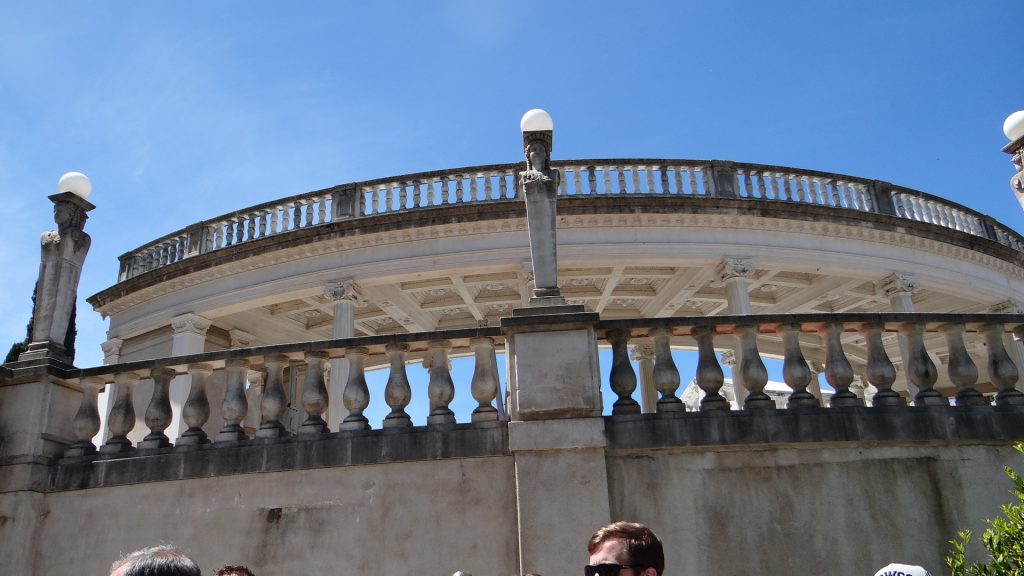
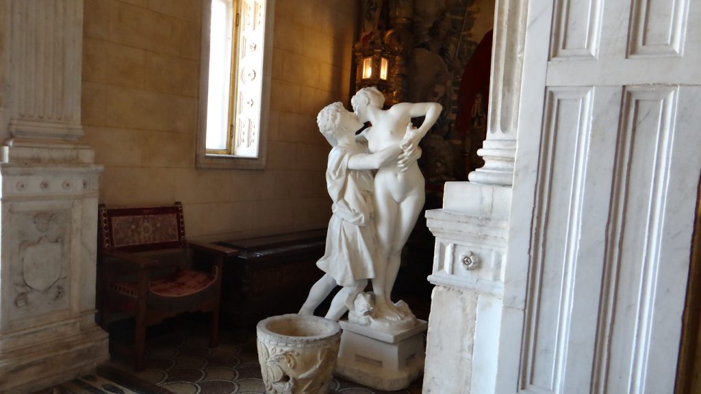
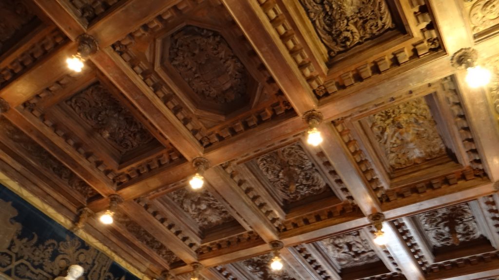
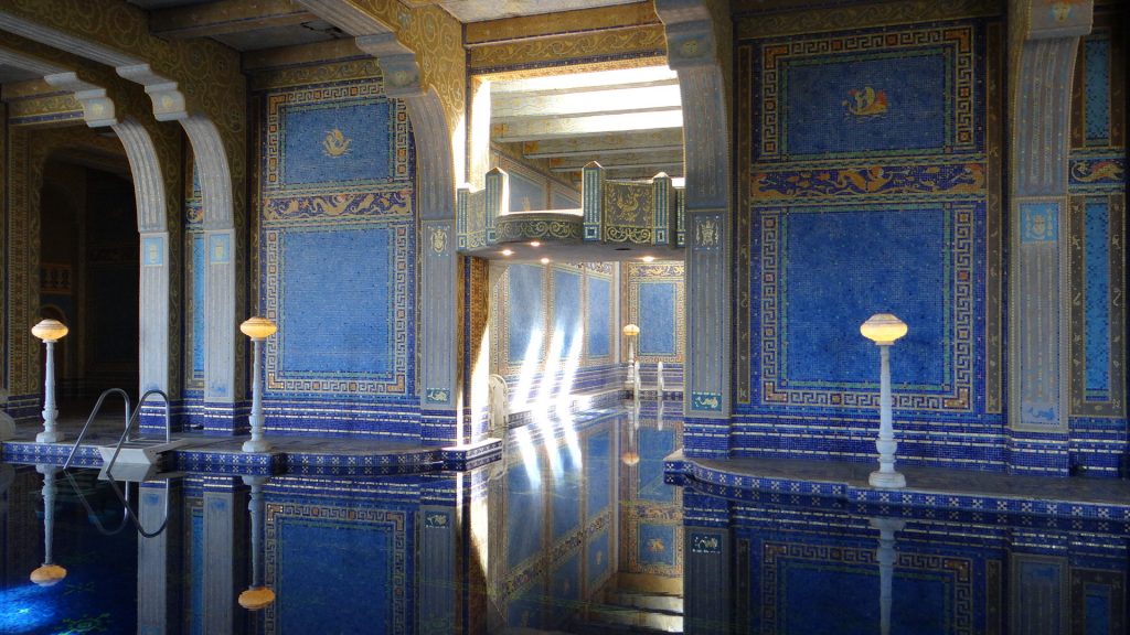
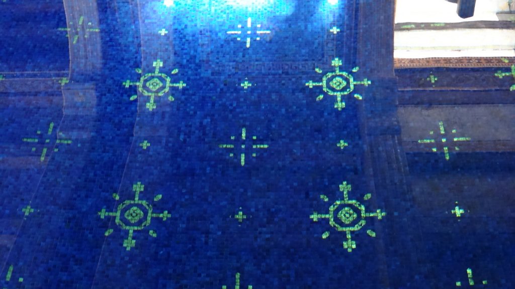
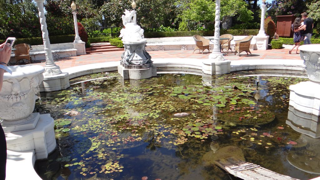
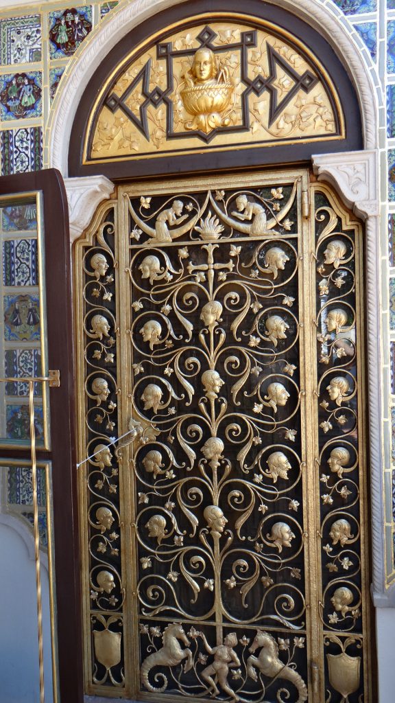
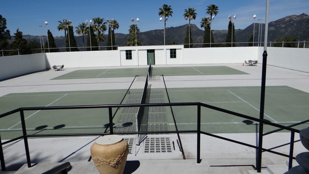
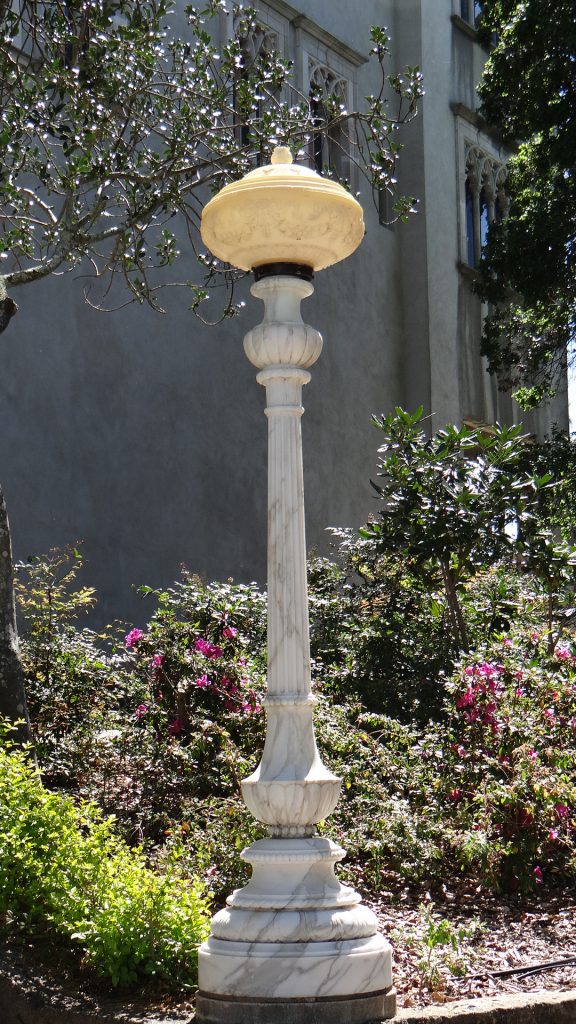
The views down the hill to the Pacific are EPIC!!The buildings are amazing.The main building, the Casa Grande.A guest cottage!!Grounds are full of artefacts from Hearst’s personal collection. Egyptian figures.The front entrance to the Casa Grande.It has a fine collection tapestries from all over Europe.All collected by Randolph Hearst.And another.Statues galore.Many religious paintings.And the ceilings were also from Europe.Unfortunately the Jupiter pool was closed for refurbishment. It was leaking badly, and in a state with drought problems this was not good. Imagine swimming in this, it actually has statues in the pool!!And if the outdoor pool wasn’t good enough for you, how about the indoor one!! That is a diving platform halfway up the arch.And in case you were wondering all those tiles in and out of the pool are gold leaf!!Not your average fish pond. The board bottom right, was to allow Hearst’s dachshunds a way out when they fell in the pond.Another guest cottage with its own patio!!One of the many fountains with statues.A door, all gold leaf again!!Tennis anyone?One of the many handsome alabaster lamps.
Sorry if I have bored you, but if you ever visit California, you just must visit Hearst “castle”, magnificent doesn’t cut it!!
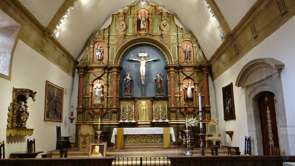
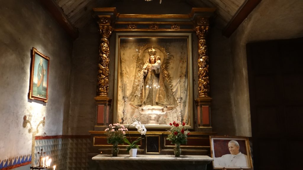
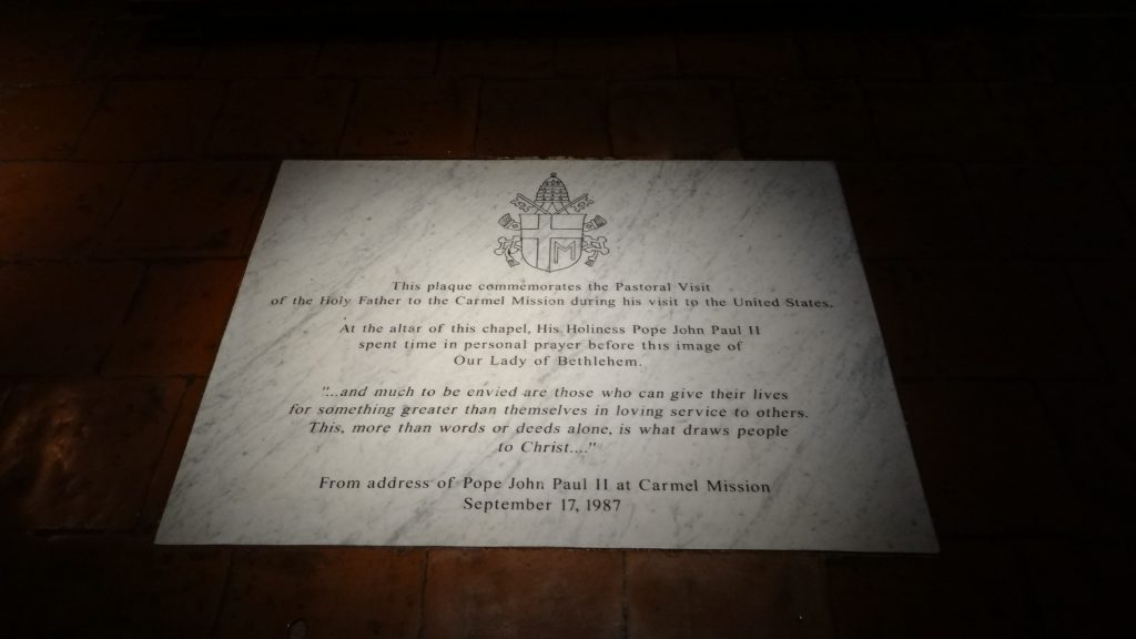
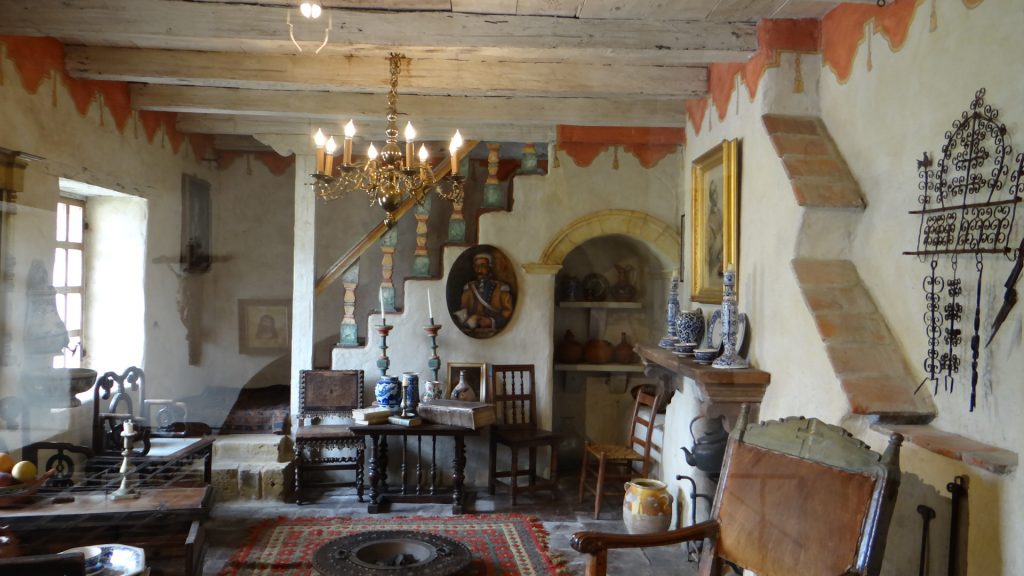
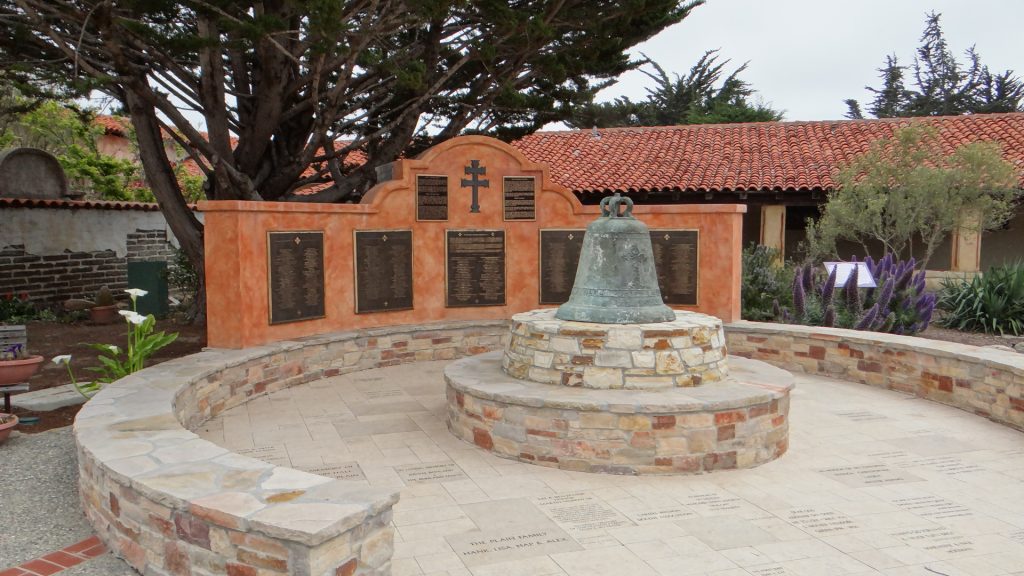
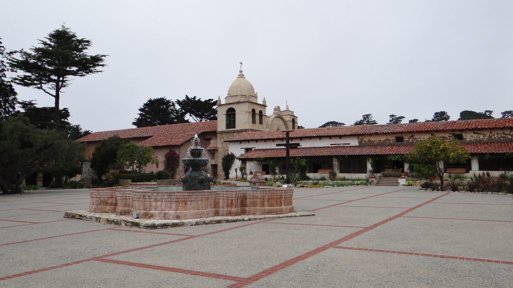
We took the Sunday off and on the Monday we went back to Monterey. We drove a bit further on and visited a Mission in Carmel (Clint Eastwood country!!). By now you will know the story of the Missions in the Southern USA, established by the Spanish to convert the local people and control the area. Mission San Carlos Borroméo del río Carmelo is no different except that it is probably the best example we have visited, and it was visited by Pope John Paul II in 1987.
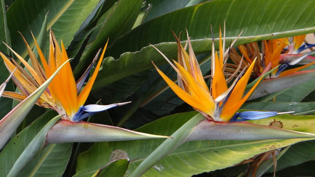
The altar.Mary and baby Jesus in a side chapel.Plaque commemorating Pope John Paul’s visit.Living quarters as they were in early days.Courtyard and bell with plaques showing who was involved in the restoration.Mission courtyard.Many plants in the courtyard but these Birds of Paradise flowers were really beautiful.
We then drove back up the coast to Pebble Beach.
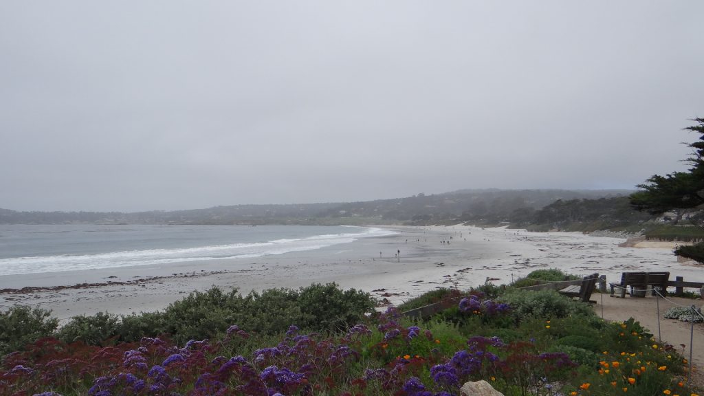
Pebble Beach, you can’t quite see the famous golf course as it was a bit foggy.
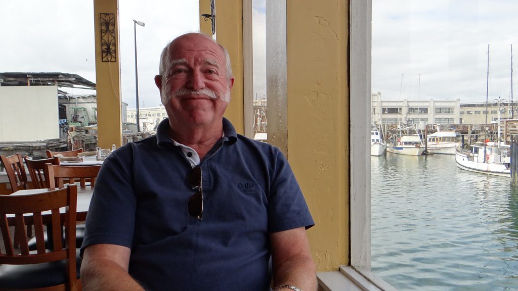
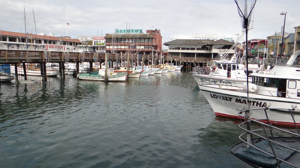
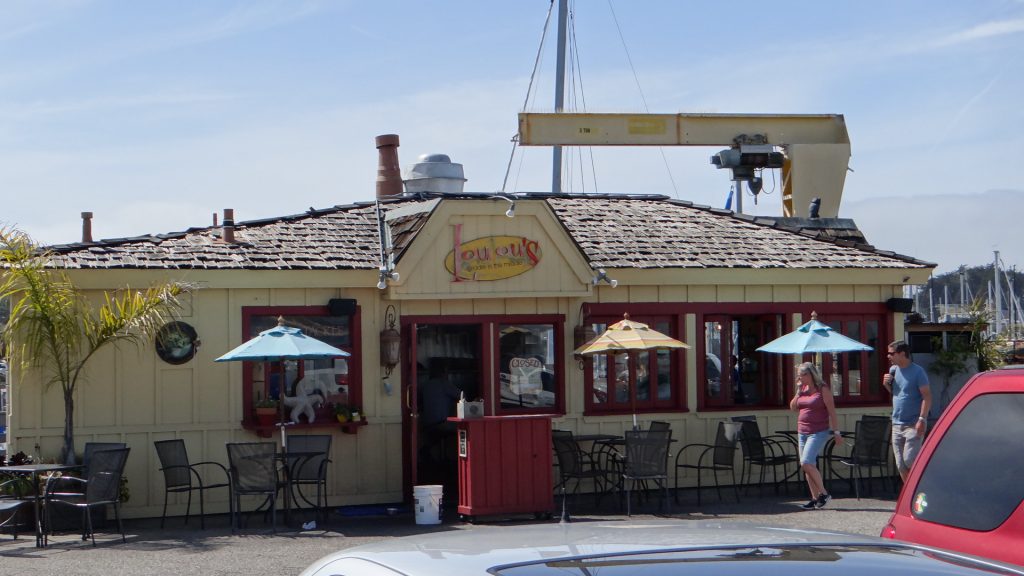
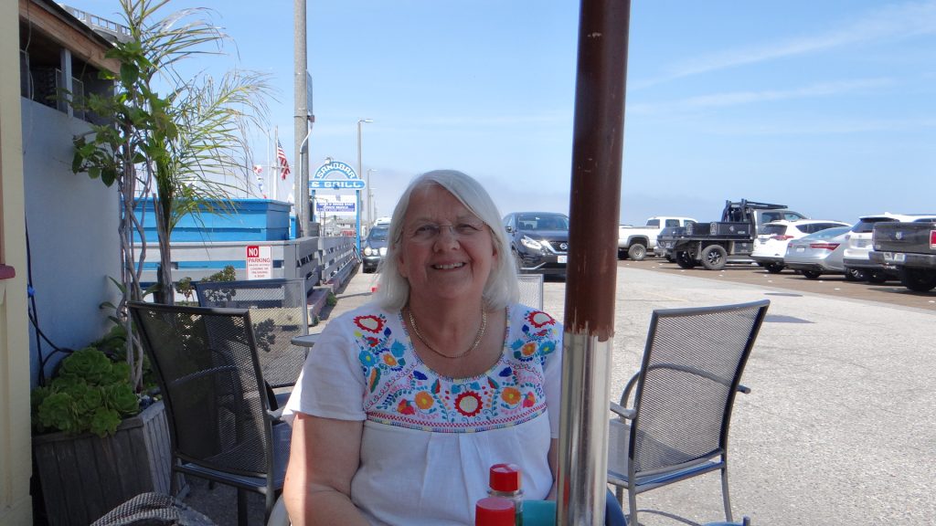
And then back to Monterey where we had lunch at LouLou’s.
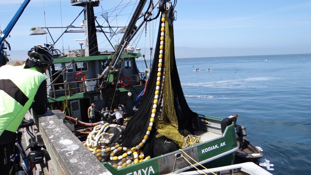
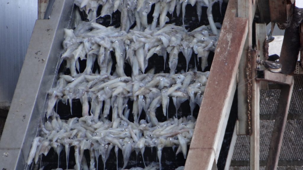
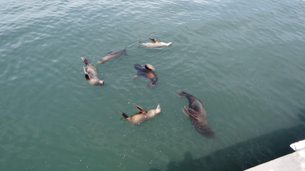
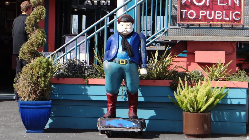
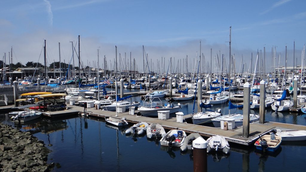
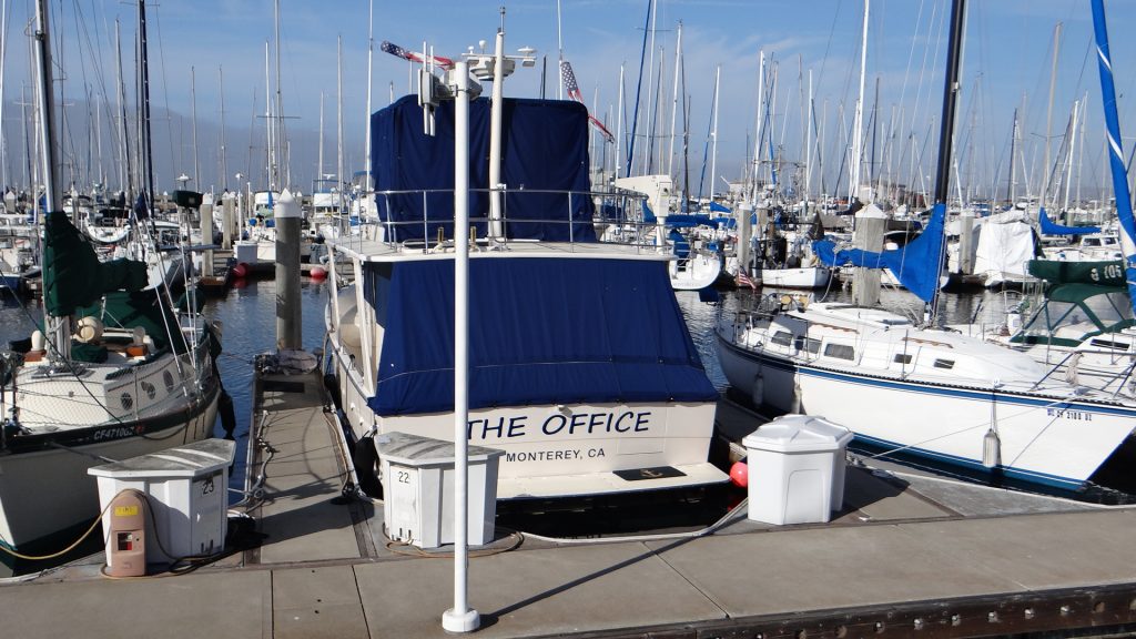
Loulou’s Griddle in the Middle.Anne ordered Fish & Chips!!Trawler offloading its catch.Which was squid (calamari).Sea Lions sunbathing by keeping their fins out of the water to heat the blood in them.Does this remind you of someone?The marina, a few thousand dollars worth of boats.Think I would quite like to work there.
And then we returned to Yanks RV for our last night there. Lovely campground, one of the best we have been in.
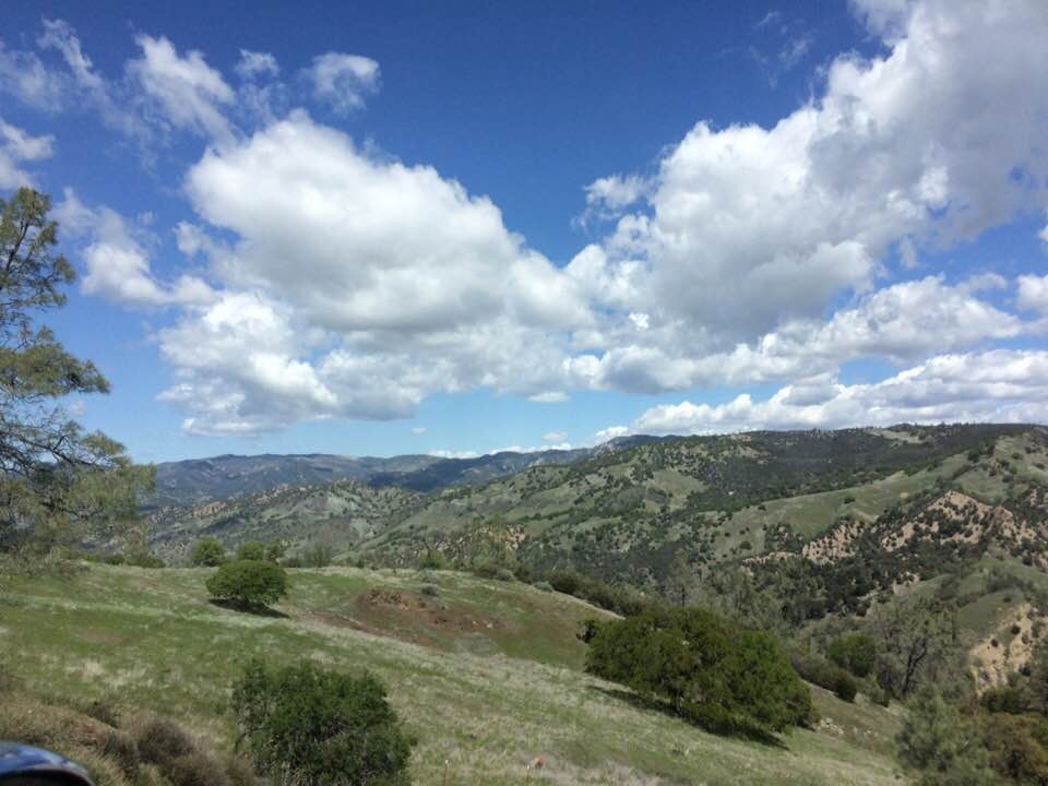
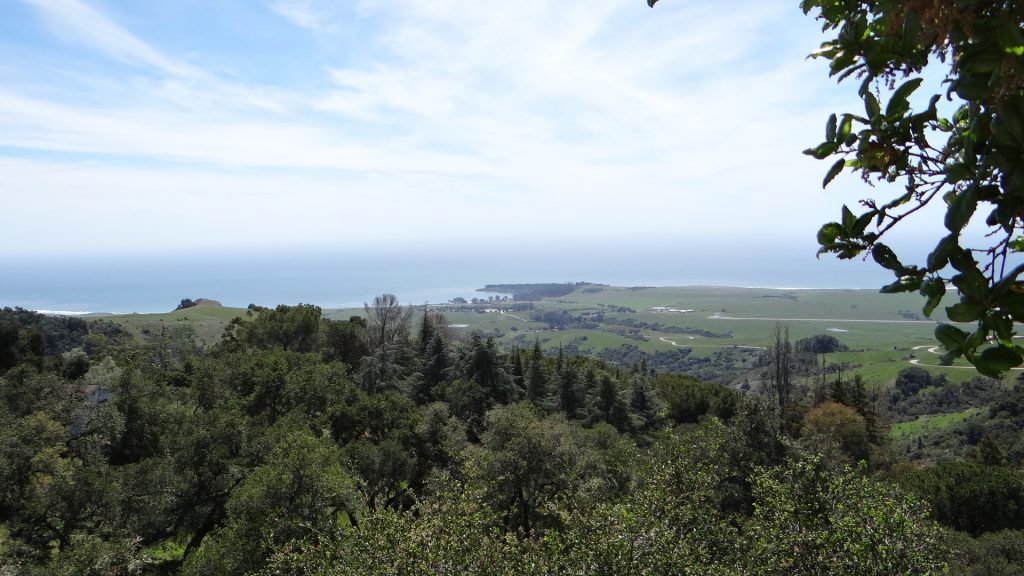
View towards the Pinnacles National Park.And anotherGeneral view of the campground.
Well that is the end of this post. The next day we moved on to San Francisco.