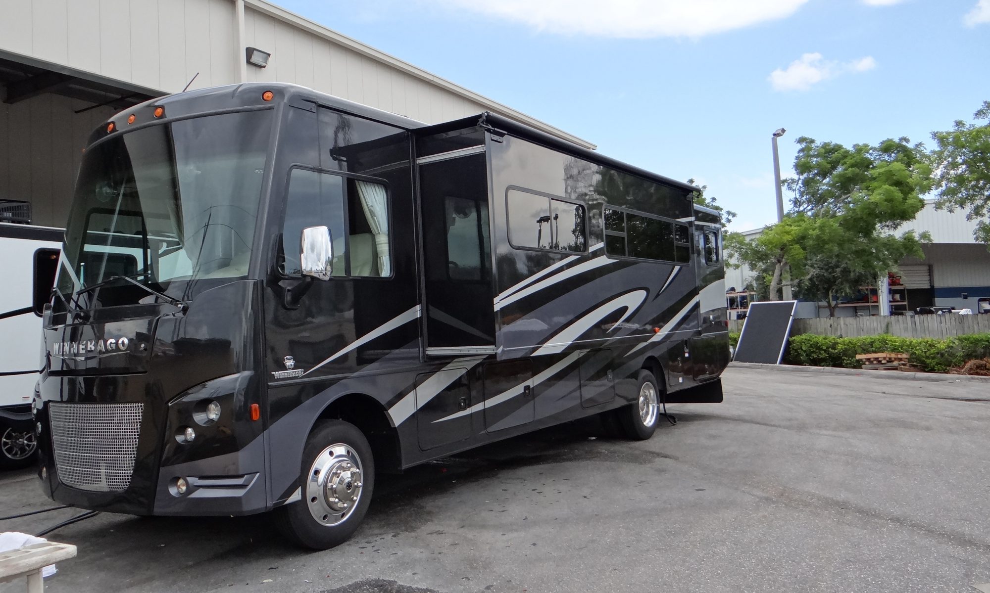
The drive to Portland was quite short but quite complicated with all the bridges over the Willamette and Columbia rivers. Didn’t help that we met a bridge swing queue!! Also it was my last chance to put the RV through a truck wash, but it did look good afterwards!!
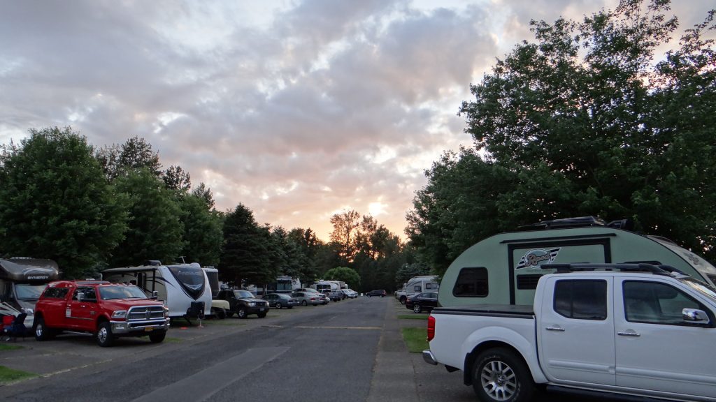
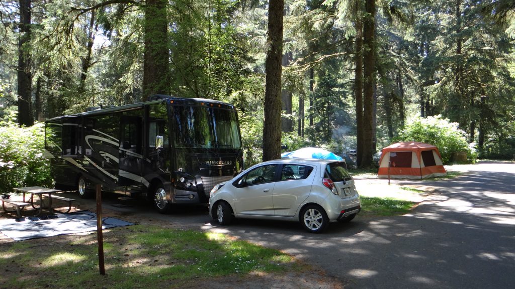
Here it is parked up at our site at Sandy Riverfront RV and the river was right behind us.


We had come to Portland not only to see the sights but also to meet up with Susan Dean, Anne’s cousin. She promised to show us the sights in and around Portland, and she lived up to her promise.
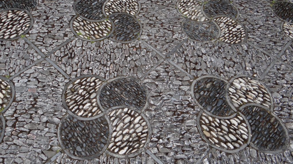
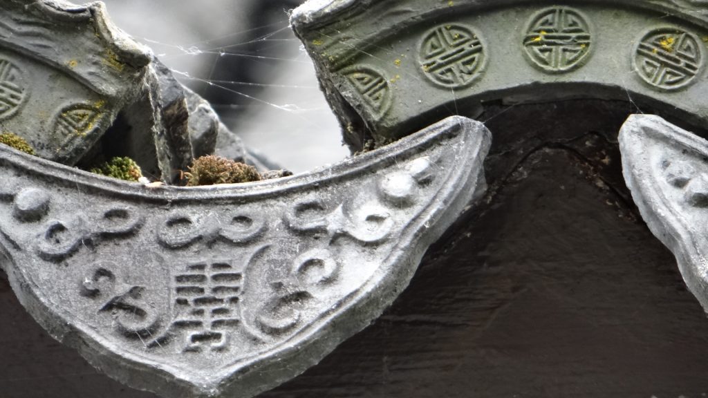
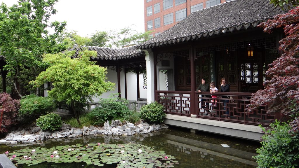
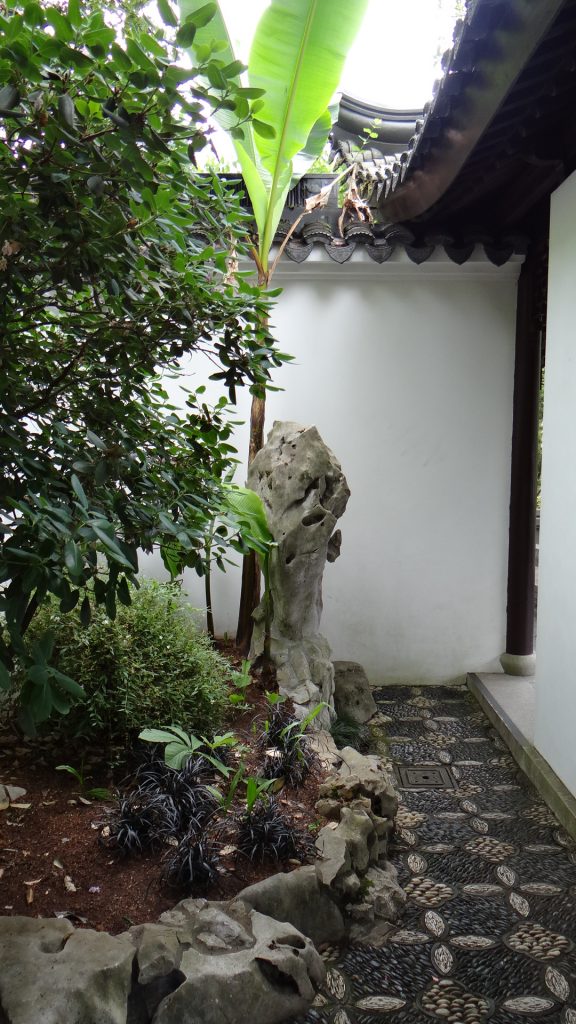
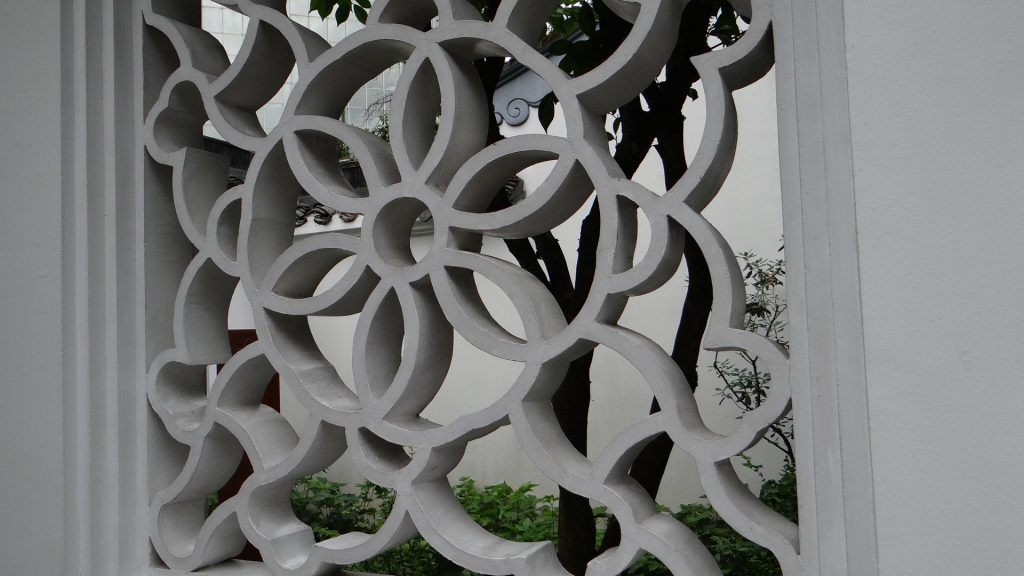
On the Saturday we visited the Chinese Garden in Portland. The garden was built in 1999-2000 and was a collaboration with the Chinese city of Suzhou which Portland is twinned with. It was built by 65 artisans from Suzhou to a design by Kuang Zhen, with over 500 tons of rock including special Tai Hu rocks from Lake Tai in China. All the wood used was also imported and are from native trees of China. A very interesting and tranquil place, although when we visited it a Taekwondo demonstration was taking place, which made it a bit noisier!!


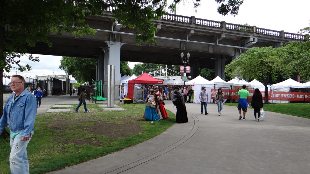
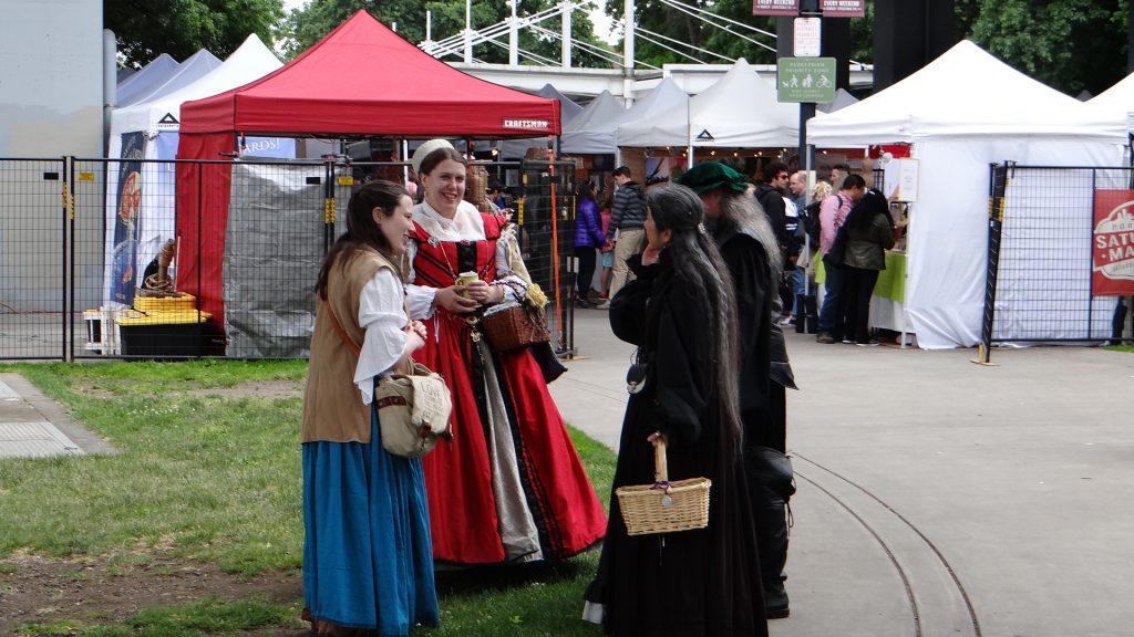
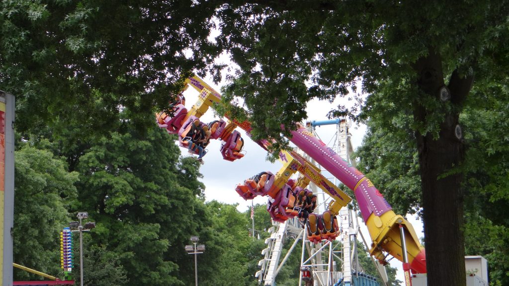
From here we walked into downtown Portland where there was a Saturday Market and a Funfair.

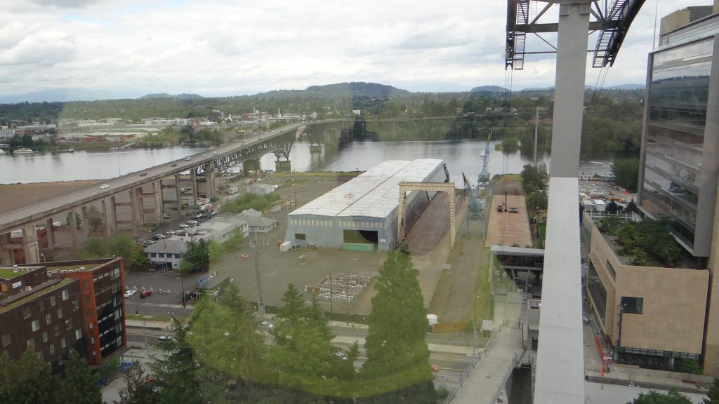
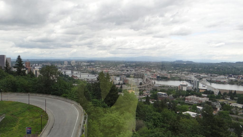
We then took a trip on an aerial tramway to the hospital complex where Susan used to work (now retired), but it also gave you good views of Portland and its surroundings.


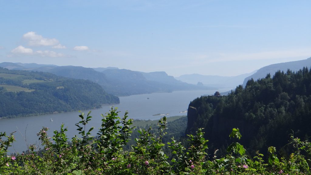
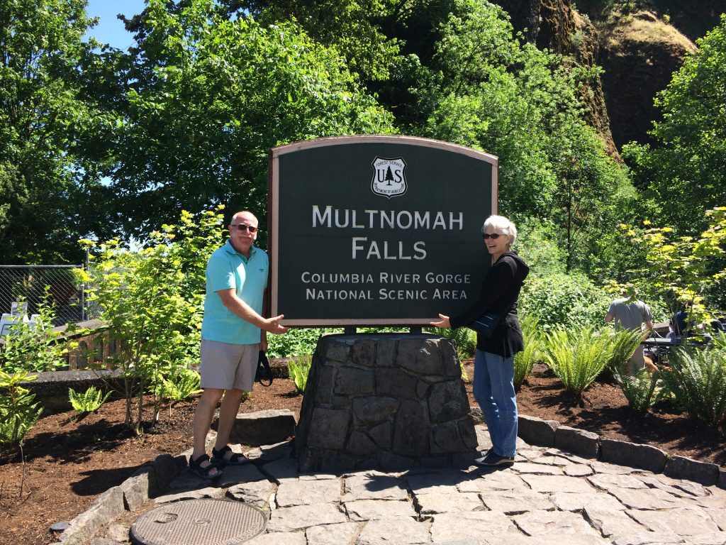
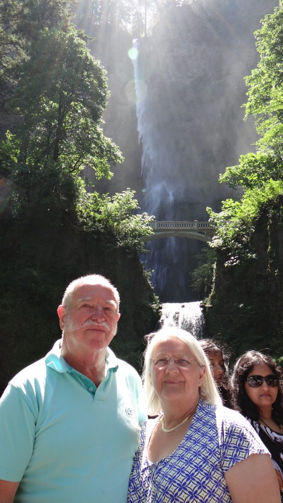
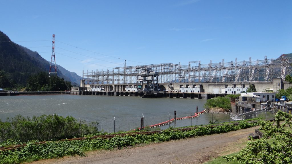
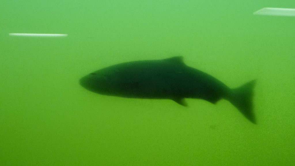
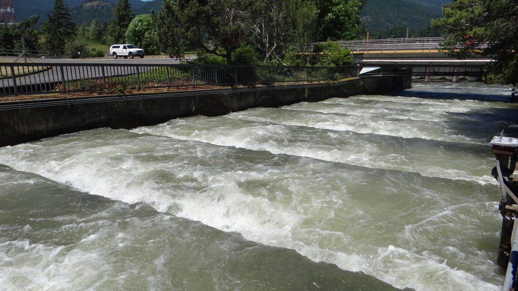
The next day Susan took us on a scenic drive to see Mt Hood, via the Multnomah Falls and Bonneville Dam that Judy Goff had recommended because of the salmon ladder.
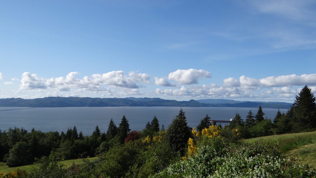
Prior to this we also stopped at a viewpoint that let you see the Columbia River Gorge.


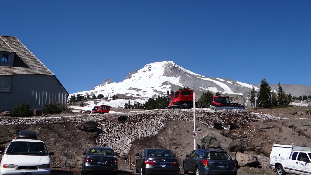
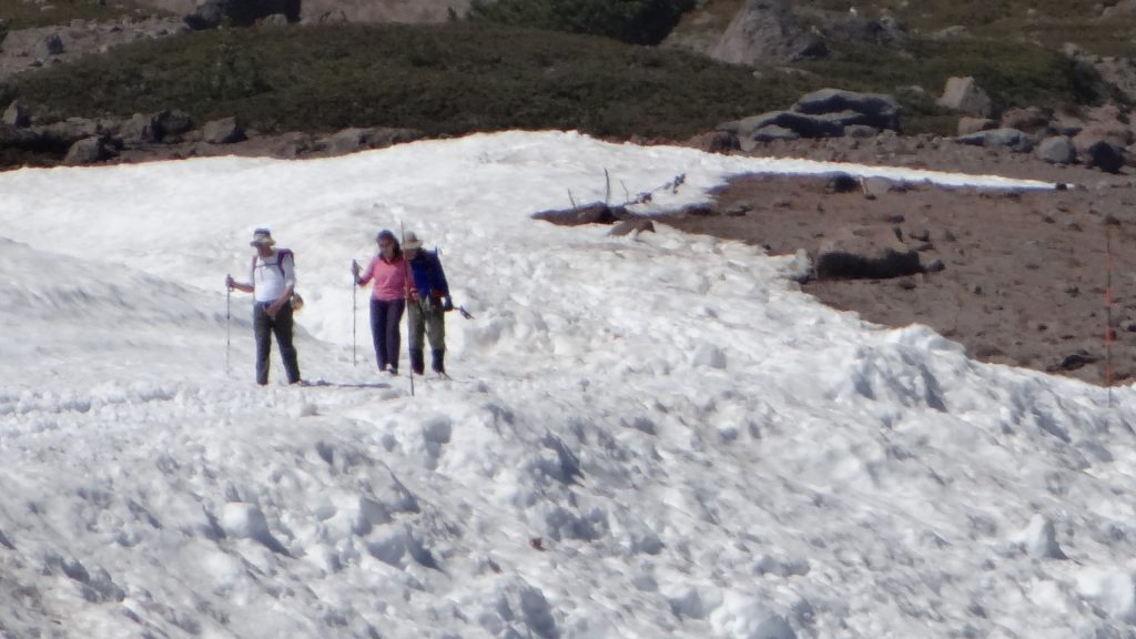
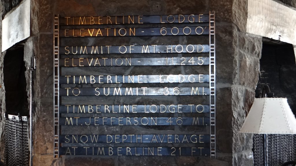
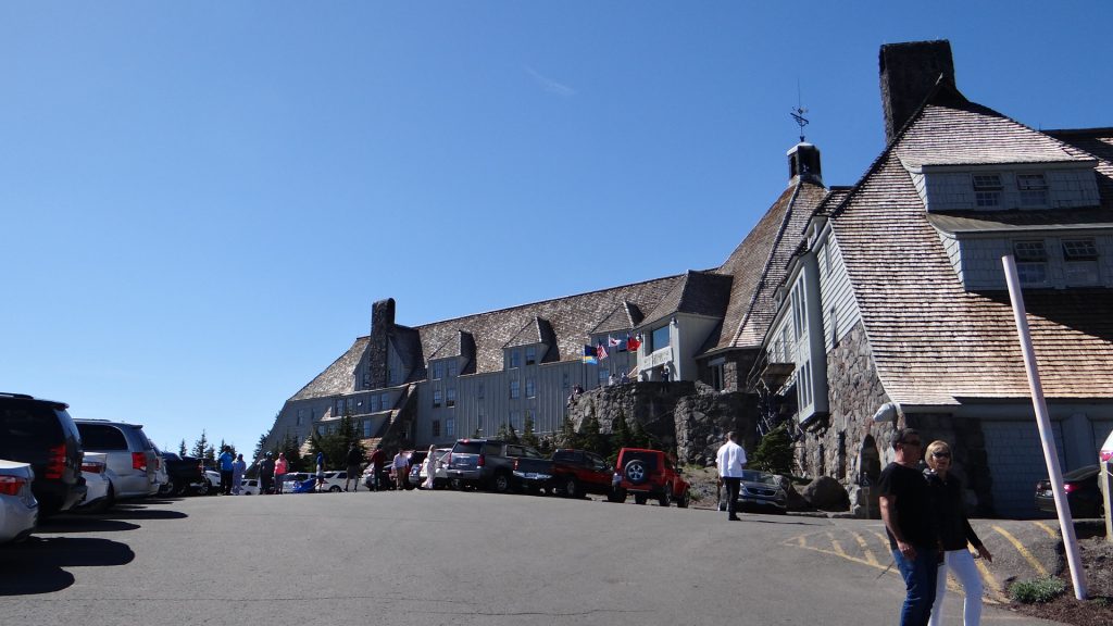
Then we got to Mt Hood, and the Timberline Lodge. Some ski runs were still open in June, and the mountain still had quite a lot of snow on it. It is used as an Olympic skiing training centre as it has ski runs open all year round.


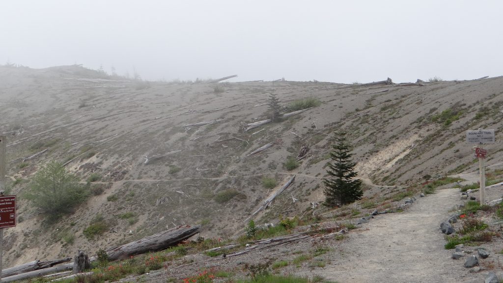
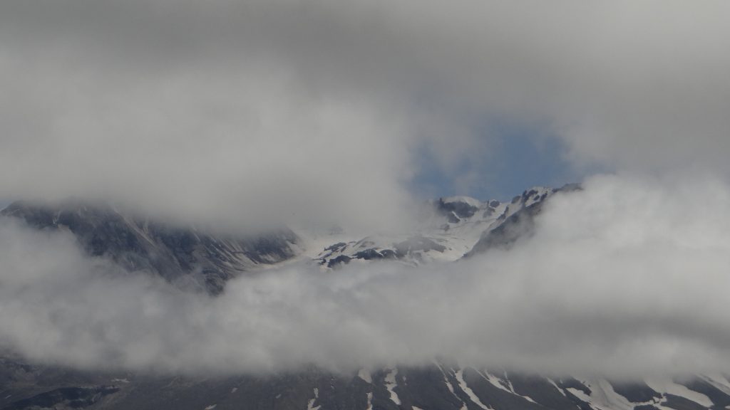
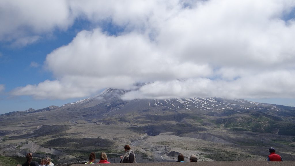
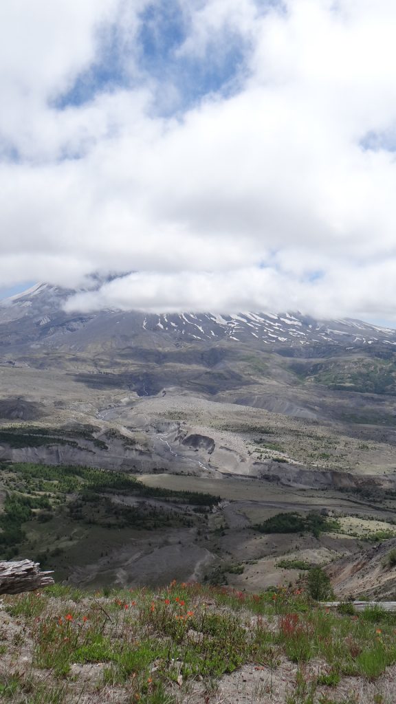
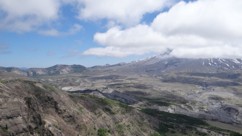
Keeping up the pace, Susan took us to see Mt St Helens the following day. This is the volcano that erupted in a huge explosion in May 1980, resulting in the top of the mountain being blown off, and one entire side collapsing leaving a horseshoe shaped caldera. The eruption killed fifty-seven people, and destroyed 250 homes, 47 bridges, 15 miles (24 km) of railways, and 185 miles (298 km) of highway. The elevation of summit of St Helens was reduced from 9,677 ft (2,950 m) to 8,363 ft (2,549 m) and it’s mass was reduced by 0.7 cubic miles which was spread over the surrounding countryside as ash and a pyroclastic flow avalanche which flattened an area of 230 sq. miles. An entire lake and recreation area called Spirit Lake was also destroyed with the remains of the lake containing hundreds of logs blown over in the explosion. It continues to erupt to this day, but not as violently, and is still an active volcano.
As you drive up to Johnston Ridge Observatory you see the ash fields and the trees that were flattened by the explosion.


On the Tuesday the “Big Beast” had a first full service, which was required in the terms of our extended warranty, so we had to get up early, disconnect everything and hitch up the Spark. Susan was expecting us at her house later in the evening to meet more of Anne’s and Susan’s relations.
As is usual with the best laid plans of mice and men the service ran longer than was expected so we had to agree to leave “Big Beast” overnight, so we now had nowhere to sleep. Luckily Susan had a spare room and wouldn’t take “no” for an answer so we spent the evening meeting Anne’s relations and then stayed at her house. Susan’s son Orion (and his family) was one of those relations, plus some other very nice people we will someday figure out how we were related!! But it was a very good evening and we enjoyed meeting everyone, plus we also found out that Orion and his family would be at our next site, Fort Stevens, at the weekend and we promised to meet up with them.
So next day we went to pick up “Big Beast” after saying goodbye to Susan, we were due to move on the next day, only to find it still wasn’t ready and could we come back at midday. We returned as asked and all was well, so we drove back to our last night at the campsite.
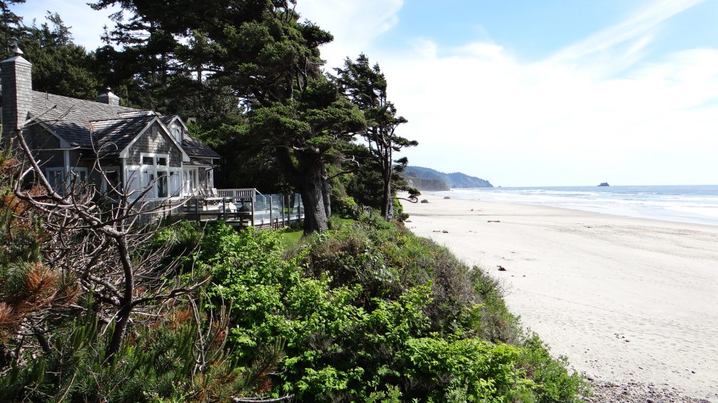
The next day we moved on to Fort Stevens State Park, near Astoria in the top left hand corner of Oregon. We decided to camp there so we could see the rest of the Oregon coast down to the point of our trip North from Depoe Bay and the Washington coast north of the Columbia river which has a peninsular called Long Beach.
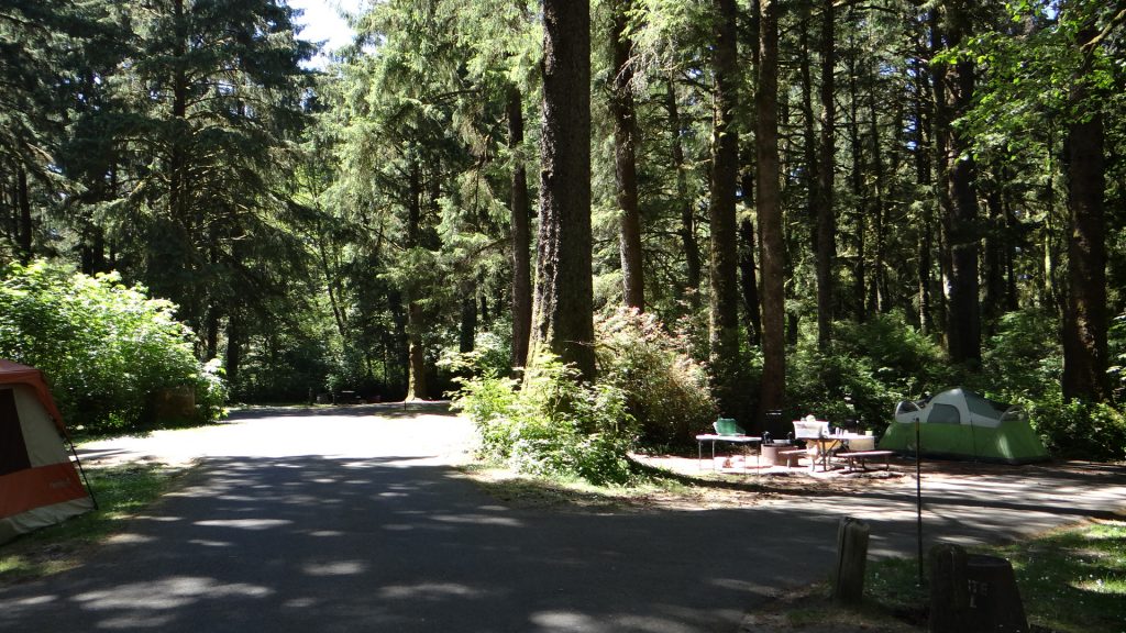
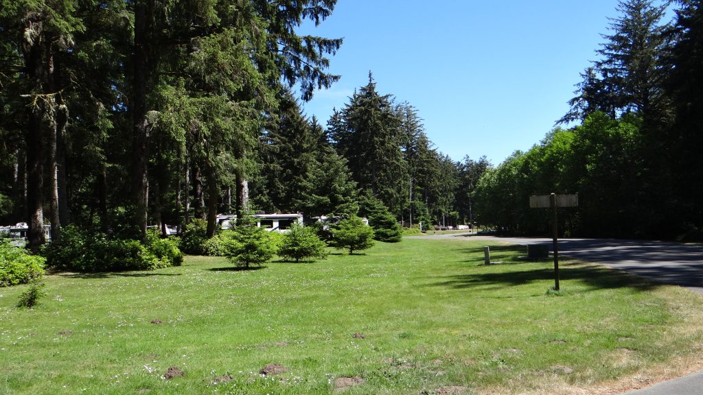
We had a very shaded but nice site in amongst the trees of the campground.
Fort Stevens has 3 or 4 artillery bunkers that were manned in World War II. It is the only place in the USA that was bombarded in that war. A Japanese submarine came in close and used its gun to fire on the Fort. The battery retaliated but the only damage caused on either side was a shell that exploded on the Fort’s baseball field!!
The southern arm of the Southern Jetty that together with the Northern Jetty protects the mouth of the Columbia river extends from the top of the state park out into the river.
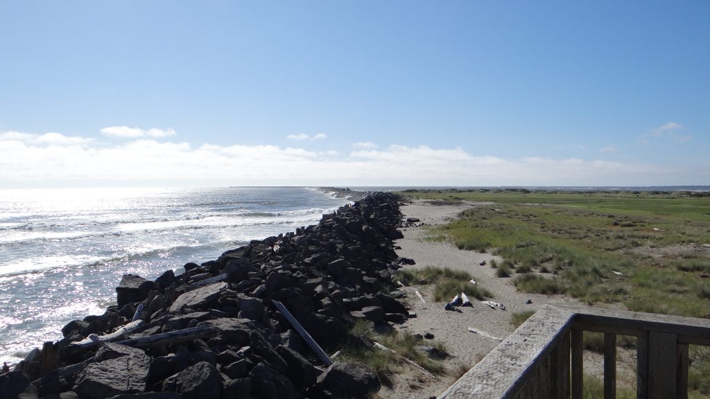
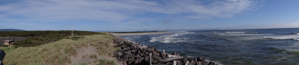
The Columbia river entrance and sand bar is a very dangerous entrance to one of the main shipping rivers in the USA. Because of this the US Coastguard has their National Motor Lifeboat Training School based there as the sea conditions can be some of the worst on the Pacific Coast.
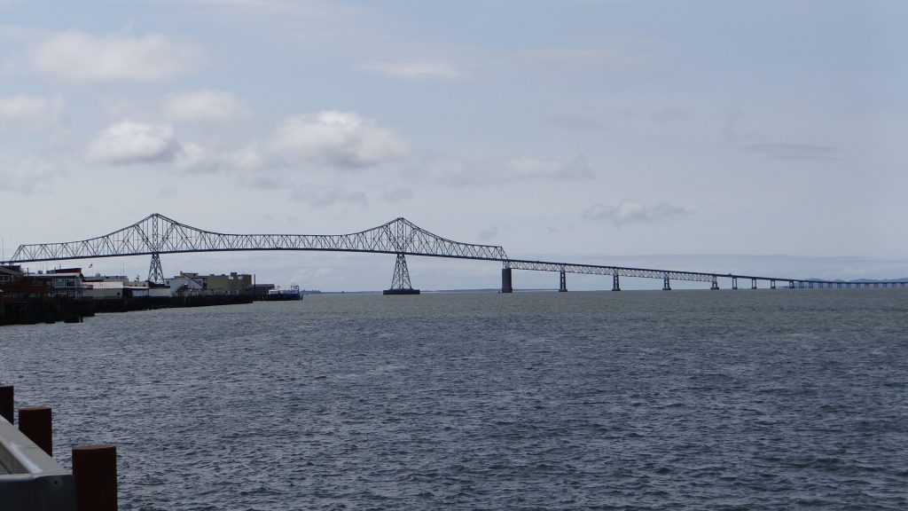
Nearby is the Astoria bridge that joins Oregon to Washington.

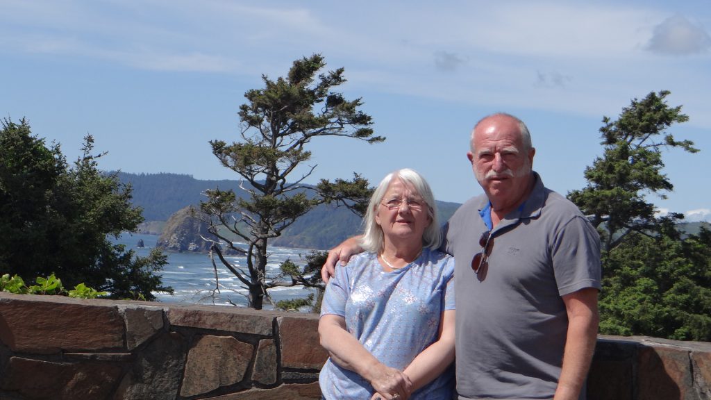
As promised Orion, Caitlin and Rose and friends turned up on the Saturday and we were introduced to the delights of s’mores toasted on their campfire (American campers love their campfires!!).

If you can imagine a sweet biscuit with chocolate on one side with a fire-roasted marshmallow on top and another biscuit making the sandwich. It was one of the sweetest things I have ever tasted and set my teeth on edge. The Americans feed these to their kids on camping trips, no wonder they are so hyper!! Rose (Orion’s daughter) and her friend decided to go off and draw with charcoal on the camp road and very good they were too. Here they are holding the hands of their charcoal friend!!
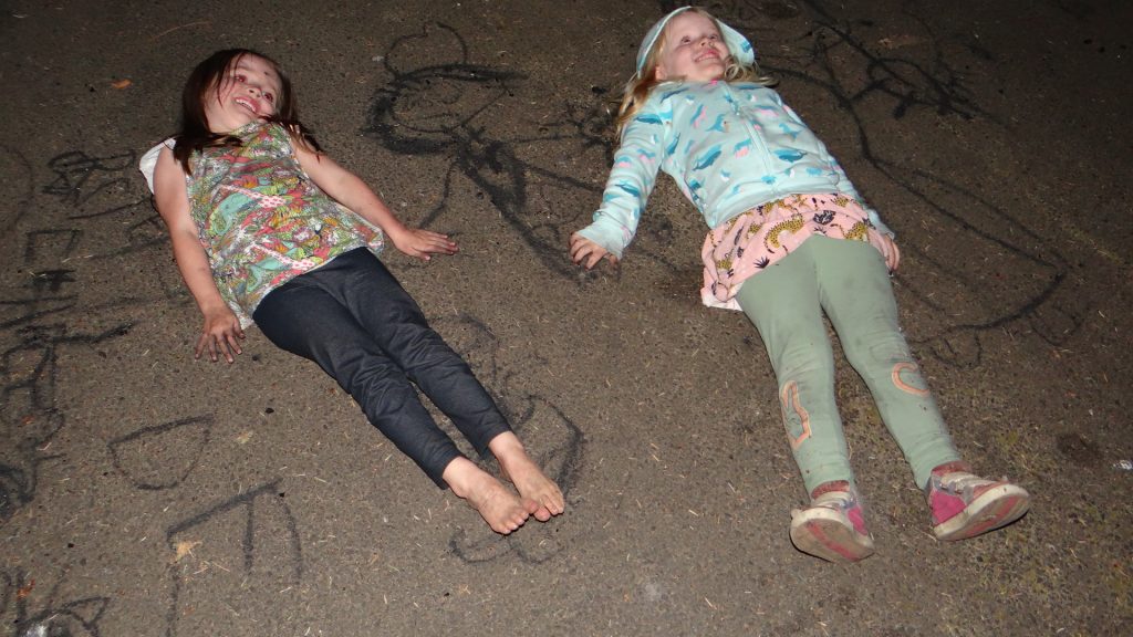
It was nice meeting them again, but I will give s’mores a miss next time.
On the Monday we explored the Oregon coast south of us. It was a mixture of a sort of US version of Blackpool called Seaside and more upmarket seaside towns with galleries and gift shops.


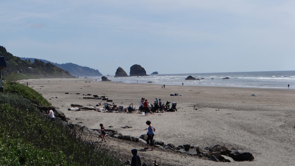
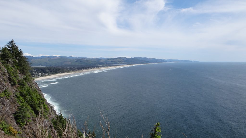
We turned round at Manzanita the farthest town we had reached north of Depoe Bay.

We got back to Astoria early in the evening on a lovely day and drove up to local landmark called The Column. It is a tower that you can climb up but it also has a beautiful painting all around it depicting the Lewis & Clark trail.


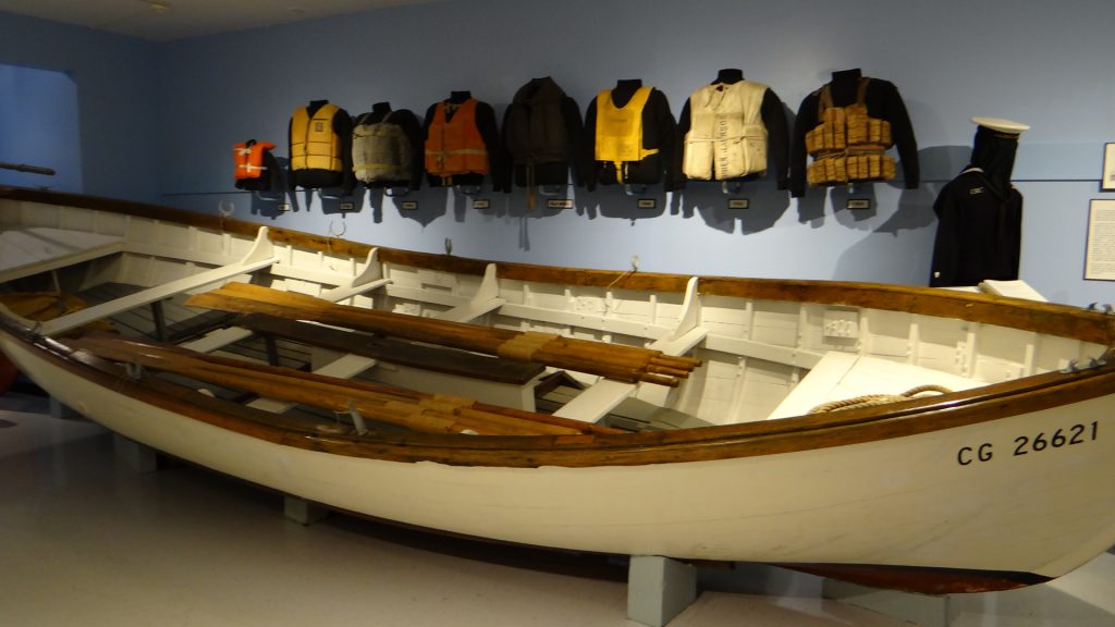
Next day we headed north into Washington to explore Long Beach. First stop was Ilwaco , a fishing port with a maritime museum with early lifeboats in it.

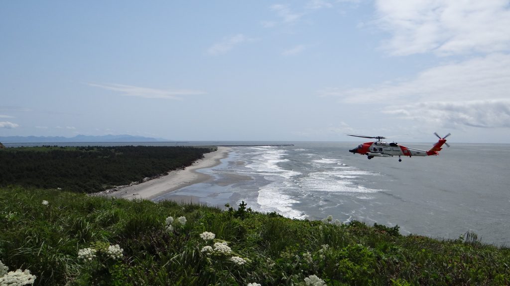
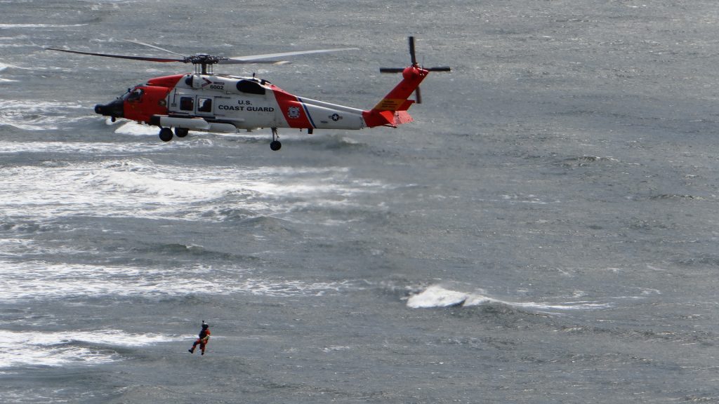
Just beyond here was the Cape Disappointment Lighthouse with the US Coastguard practising helicopter cliff rescues.


Long Beach as well as being a very long beach(!!) has a big oyster farming area and there were mounds of oyster shells all over the place.


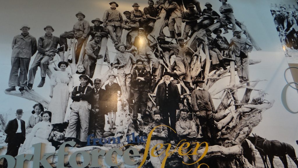
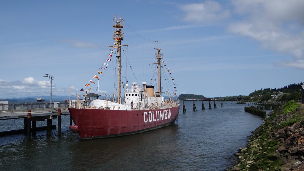
On our last day we looked around Astoria. It has a very good maritime museum with an ex-Columbia lightship as an exhibit.


The next day we left for Riverview RV Park just outside of Forks Washington which will be my next post.
I should also point out that our RV Map has been updated all the way to Vancouver although the BLOG is not quite there yet!!